
Four inch blizzards hitting each and every hour in and around January 23, with all four Home Nations hit.
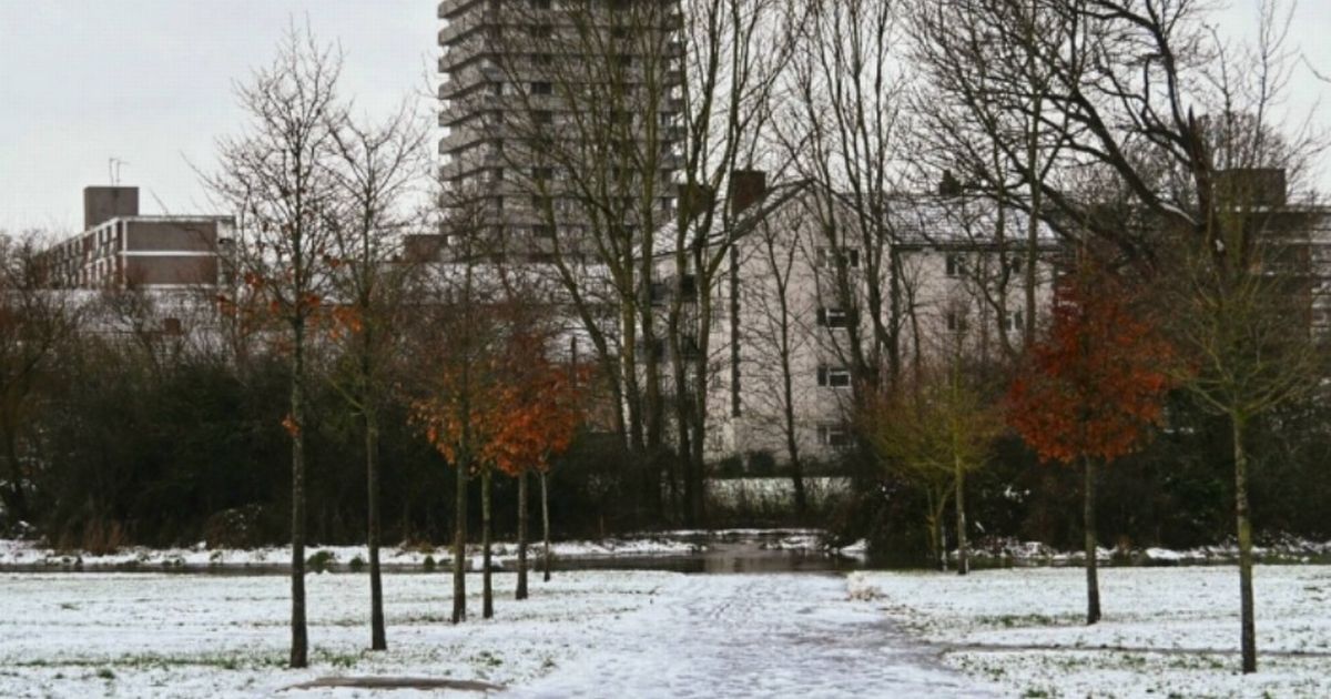
Next UK snow bomb will be 4 inches per hour and last for five days straight(Image: )
The next UK snow bomb will be “four inches PER HOUR”, it is feared, and last for a staggering five days as Britain risks being brought to a standstill. Advanced modelling, from WX Charts, show four inch blizzards hitting each and every hour in and around January 23, with all four Home Nations hit.
While the snow will be the most intense and heaviest in Scotland, other areas at risk include northern parts of England, north Wales and Northern Ireland too. Maps and charts show snow on January 23, January 24, January 25 and January 26, as well as a final date: January 27.
The depth charts show 32cm could settle in the Highlands in Scotland, as the heaviest accumulations are seen north of the border. South of the border, and the Lake District looks likely to be the worst-hit part of England.
READ MORE Major UK shoe chain could vanish with 37 stores at risk – full list
As much as 9cm could fall in this area, with 2cm more widespread across lower levels of England, according to the modelling from the Met Desk and the ECMWF system.
Looking ahead to the weekend, and what lies ahead next week, Jo Farrow, from Netweather TV, has had her say.
In a recent blog post for the meteorological forecasting firm, Ms Farrow explained: “By Monday there will be pockets of sunshine but frost and fog.
“This ongoing showery zone stretches up through central England and east Wales. Also the western frontal band will bring showery outbreaks of rain over Ireland and into SW England with some hefty downpours.
“It is a mixed picture for Monday but Northern Ireland could also see heavy showers by the afternoon. The Atlantic seems to keep some influence for the start of next week over western parts of the UK with showery rain.
“Further east for Britain perhaps more settled.” The Met Office has also looked at the next few days.
It says fog lifting, mostly dry, but with showers in the west.