
Met Éireann has issued several Status Yellow warnings ahead of the arrival of Storm Floris, which is expected to bring strong winds, heavy rain, and the risk of localised flooding to parts of the country on Monday.
Counties Clare, Galway, Mayo, and Sligo will be under a Status Yellow wind warning from 2am to 1pm on Monday, with damaging gusts and blustery southwest winds set to veer westerly through the morning.
A separate wind warning has also been issued for Cavan, Donegal, Monaghan, and Leitrim, valid from 4am to 4pm.
The forecaster is warning of hazardous driving conditions, possible structural damage, fallen trees, power outages, and wave overtopping along coastal areas. Outdoor events may also be affected by the stormy conditions.
In addition, a Status Yellow rain warning has been issued for Donegal, Galway, Leitrim, Mayo, and Sligo, where heavy downpours and a chance of thunder could lead to lightning damage and localised flooding.
This warning is in place from 2am to 10am on Monday.
Storm Floris is expected to track across the country overnight Sunday into Monday, with conditions worsening in the early hours.
On Friday afternoon, Met Éireann issued a weather advisory ahead of Storm Floris, which it says will bring “unseasonably impactful weather” from Sunday night into Monday.
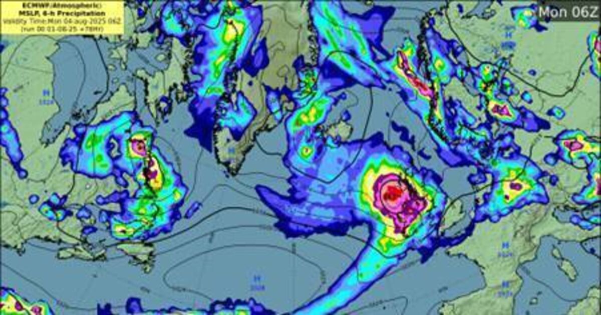
The forecaster describes the storm as a “deepening low-pressure system” likely to track to the northwest, bringing a spell of “heavy rain and very strong winds.”
The storm is expected to cause:
Dangerous travel conditions
Fallen trees, debris, and loose objects
Structural damage
Knock-on impacts for outdoor events
Power outages
Wave overtopping
Localised flooding due to leaves and debris
Forecaster Andrew Doran-Sherlock noted that the full impacts of Storm Floris cannot yet be fully determined.
“By Saturday though, the event will be within the range of our high-resolution DINI forecasting model and warnings will be issued,” he said.
“As this is a public holiday weekend with a large number of outdoor events and with many people going camping, etc, and with an increased usage of temporary structures such as tents, more people will be at a greater risk of exposure than would normally be the case.”
Mr Doran-Sherlock added that while neap tides will bring the lowest tidal ranges of the cycle on Sunday and Monday, strong onshore winds and high waves may cause wave overtopping in low-lying coastal areas of the northwest and west.
“Our advice would be to pay attention to the weather forecasts and warnings issued over the weekend and take them into consideration with any plans you have. And as always, please heed the advice of local authorities,” he added.
Saturday will start dry and sunny, before cloud gradually spreads from the west through late morning and early afternoon, bringing patches of light rain, drizzle, and mist. Top temperatures will range from 16C to 21C in a light southwesterly breeze.
Saturday night will see some outbreaks of light rain and drizzle, with more persistent rain spreading across the country overnight. By early Sunday morning, clear spells will develop in the north and west, Met Éireann says. Temperatures will range from 13C to 17C.
On Sunday, the forecaster says early morning cloud and rain will clear from the southwest, giving way to the best conditions of the weekend, with “a good amount of dry and bright weather, with just a few showers in the northwest.”
Highest temperatures will range from 16C to 20C in a moderate to fresh westerly wind.
By Sunday night, conditions will turn wet and windy, as rain and fresh, gusty winds move across the country from the west. Temperatures will range from 12C to 15C.
Finally, Met Éireann says Monday will be “wet and windy”, with strong, gusty westerly winds and “widespread rain, possibly heaviest over parts of the northwest, clearing eastwards through the morning and afternoon.”
Sunny spells and scattered showers will follow, as winds gradually ease through the day. Highest temperatures on Monday will range from 16C to 21C.