
Slightly colder weather is expected across northern areas on Thursday and into Friday, with some snow likely over high ground in Scotland, especially across the Grampians and Highlands.
For most areas temperatures are set to stay around the January average for the rest of the week, then will fall below average over the weekend and throughout the final week of January.
Whilst several longer-range weather forecasting models are starting to agree that temperatures are going to drop more widely towards the end of the month, the change will not be clear-cut. With high pressure expected to the east and lower pressure to the west, the UK will lie just on boundary between cold and mild air.
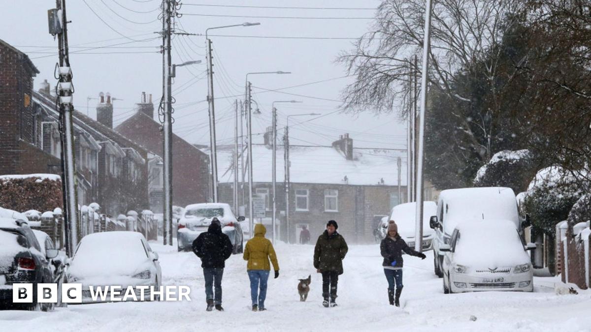
Forecasting snow in the UK is rarely straightforward because we are an island nation on the edge on a large continent.
Most commonly our weather our arrives from the west – moving in from a relatively mild Atlantic. However, when we do see winds from the Arctic or from Siberia during winter, we can see spells of cold, snowy weather.
The difference between precipitation falling as rain, sleet or snow can be dictated by a change in just a degree or two, meaning forecasters often won’t firm up on any snow detail until a few days in advanced.
Keep an eye on the latest thoughts from the BBC Weather team on our website and via the BBC Weather App.