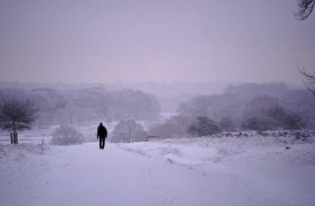
WX Charts, which uses Met Desk data, shows snow sweeping the country on Tuesday, January 27
WX Charts, which uses Met Desk data, shows snow sweeping the country on Tuesday, January 27(Image: )
All the parts of England that face snow in the next winter bomb from Tuesday have been named. WX Charts, which uses Met Desk data, shows snow sweeping the country on Tuesday, January 27, with towns and cities set to be caked.
Charts and maps from WX Charts for 6pm on Tuesday, January 27, show -2C temperatures could hit the UK, with swathrs of the country also covered in the white stuff.
The snow is set to be the result of a wall of the white stuff from the Atlantic, as high pressure hits having been blown into UK shores from the European Union, including Scandinavia and the eastern part of the continent.
READ MORE Warning over everyday cooking mistake costing UK households £270
Maps show Hampshire, Sussex, Kent, Surrey, Somerset, Herefordshire, Gloucestershire, Devon, Dorset, Cornwall and Wiltshire face being dusted.
The snow bomb could hit major cities like Portsmouth, Southampton, Exeter, Winchester, Chichester, Gloucester, Bristol, Hereford and Wells.
In an update for the UK, Jo Farrow, from Netweather TV, said: “This week is all about the Atlantic influence on the UK with bouts of wet and windy weather.
“There have been murmourings, with brief pockets of stifled excitement, about whether deep cold from Russia could reach across to the UK later this month. The jury is still out on this with plenty of swaying and disagreement on the models.
“The ECMWF model shows a colder easterly turn through the weekend but a northerly chill by next Thursday . The GFS is slower with cold air from the east reaching across the North Sea by next Monday but a balance of keeping that in place or a push frmo the Atlnatic winning out again.
“Either of these setups could bring some snow, showers across the North Sea or wider snowfall as an incoming frontal band hits the cold air. A lot of ifs and buts in all of this.”

