
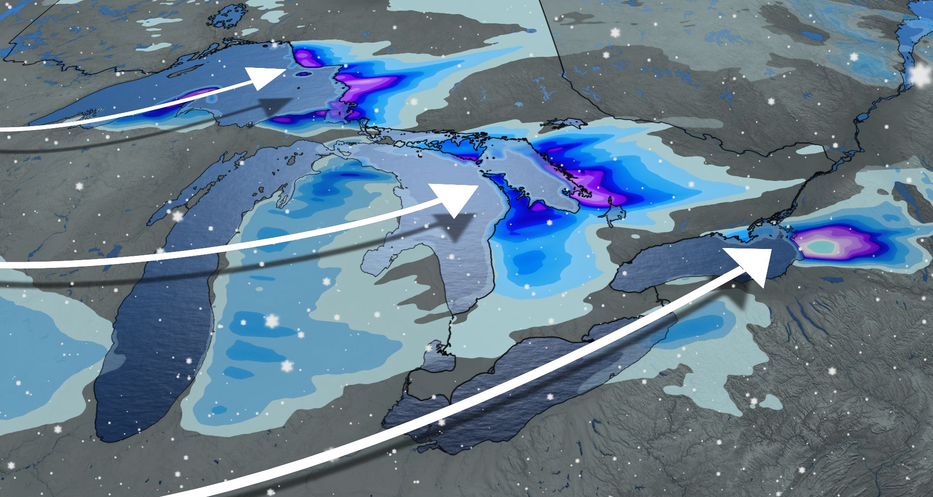
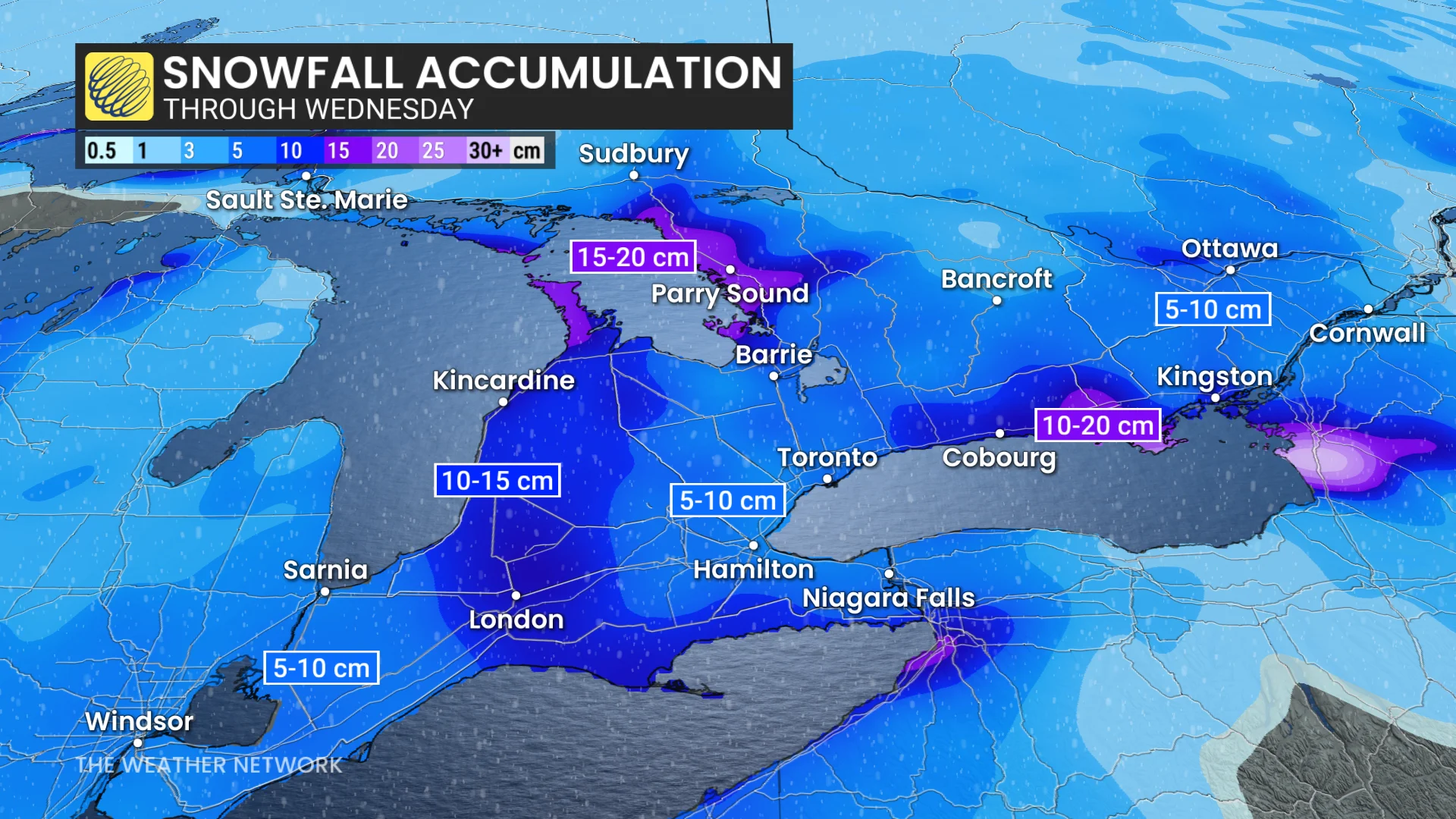
A Prairie clipper will bring widespread snowfall Wednesday into Thursday morning, with 5-10 cm expected in regions including the Greater Toronto Area (GTA), Ottawa, Windsor, and Niagara.
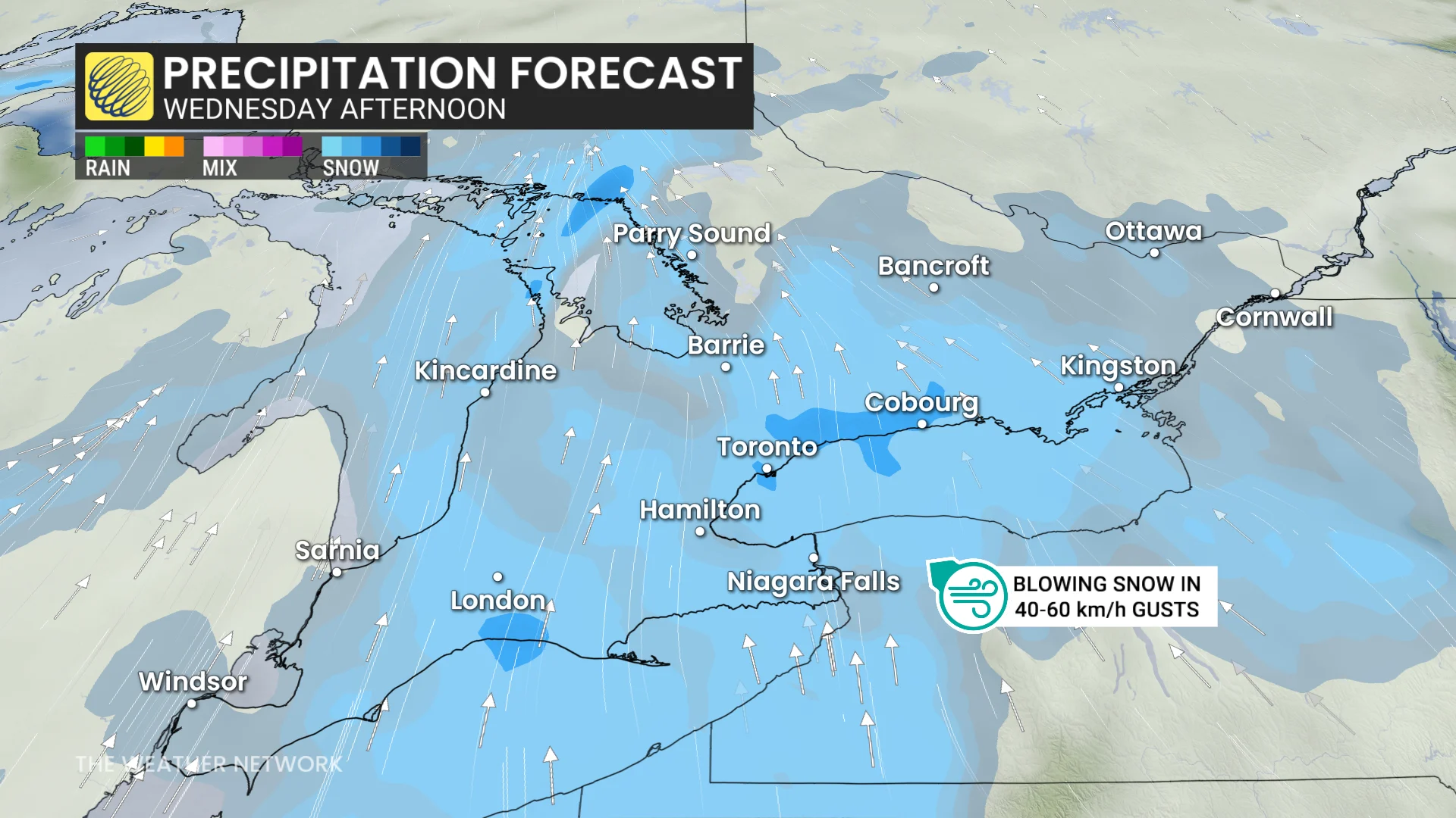
Enhanced snow near London, the snow belts, and Lake Erie and Ontario shores could result in totals of 10-15+ cm.
SEE ALSO: Snow paradox: Why 2 cm of snow can actually be worse than 25 cm
Blowing snow will reduce visibility once again, with wind gusts of 50-60 km/h, especially downwind of the lakes. Plan ahead for potentially challenging travel conditions.
 Frigid air to grip Ontario by the weekend, coldest in years for some regions
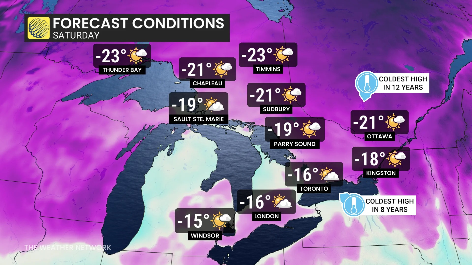
This weekend, the Great Lakes Basin will experience a surge of frigid Arctic air. Daytime highs will struggle to rise above the minus teens on Saturday across much of Ontario, with temperatures expected to remain below seasonal averages into the end of January.
DON’T MISS: The Great Lakes’ winter superpower is fading, polar vortex punches through
Ottawa may hit a low of -21°C, marking the city’s coldest day in 10 years if this forecast holds.
Northern Ontario will face even harsher conditions, with localized areas potentially plunging to near -40°C during the cold snap. Northeastern Ontario is likely to see widespread overnight lows nearing -30°C.