
The Met Office has issued its latest snow forecast with two regions in particular at risk from wintry showers – as the UK faces a weather ‘battleground’
12:59, 20 Jan 2026Updated 13:48, 20 Jan 2026
The UK will see a tense weather ‘battleground’ this week, the Met Office warned(Image: PA)
Britain is bracing for a turbulent week of weather, with snow set to batter two large areas of the UK as temperatures plunge to below freezing, the Met Office has warned.
Forecasters say the UK is about to be caught in a tense weather “battleground”, where Atlantic storms pushing in from the west will clash with stubborn high pressure in the north and northeast.
In its long-range outlook from January 24 to February 2, the Met Office said this standoff will likely bring repeated spells of rain and showers – some of them heavy and persistent – particularly across the south and west. Those in the far north and northwest could meanwhile see the best of any drier, calmer breaks.
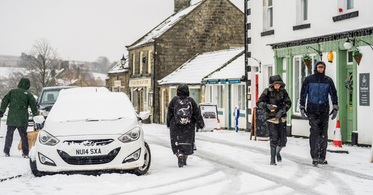
While milder air may briefly reach southern and western areas, colder conditions are expected to take hold as the period goes on. This could bring a renewed risk of snow, especially over higher ground in Scotland and northern England. With icy conditions also possible, travel disruption and difficult driving conditions may follow.
Snow is set to fall over higher ground in Scotland and northern England(Image: Getty)
READ MORE: Met Office tells Brits to stock up on 3 essentials in 54-hour weather warningREAD MORE: Snow maps reveal nine-day storm bringing 30 inches will bury every inch of UK
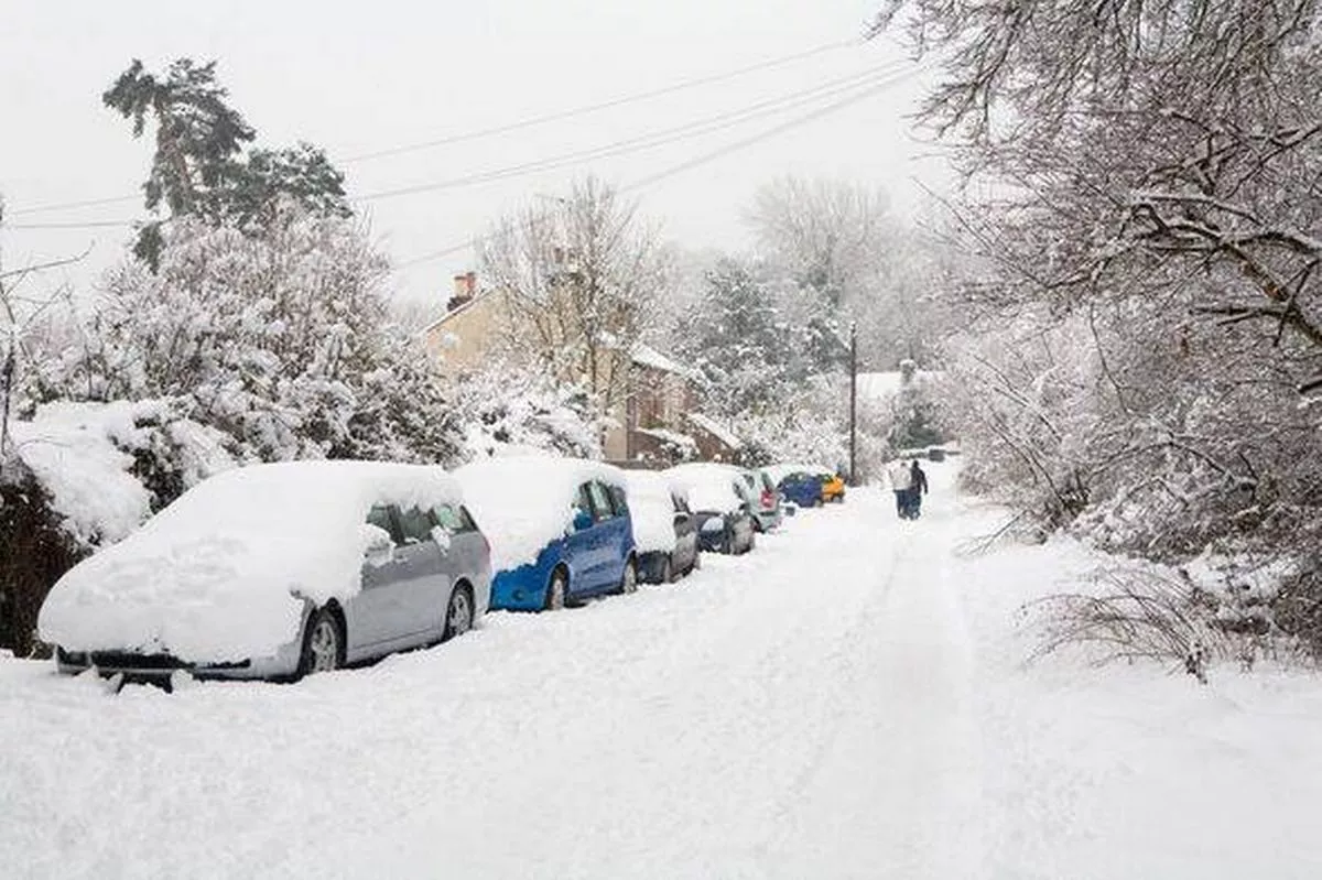
It comes as Scotland is currently seeing its worst snowfall in years, with areas in the north of the country covered in several inches of snow, while melting ice also threatens to bring floods to the region.
This week, temperatures are set to drop as low as -1C, including on the eastern shore of Loch Long in Finnart, and across the Cairngorms.
The Met Office’s long-range forecast from Jan 24 to Feb 2 reads: “The UK will likely continue to sit in the battleground between Atlantic weather systems attempting to push in from the west, but tending to stall in the vicinity of the UK as they encounter high pressure to the north and northeast.
“As such, further spells of rain or showers are likely at times, which may be heavy and persistent, especially in the south and west, with the best of any drier interludes in the far north and northwest.
“Whilst mild conditions will encroach into the south and west at times, it is likely to turn somewhat colder through this period, bringing the risk of some snow, more especially on hills in Scotland and northern England.”