
More snow appears to be on the cards in three areas as the Met Office’s long range forecasts reveal Brits face ‘wintry hazards’ at the end of this month and at the start of February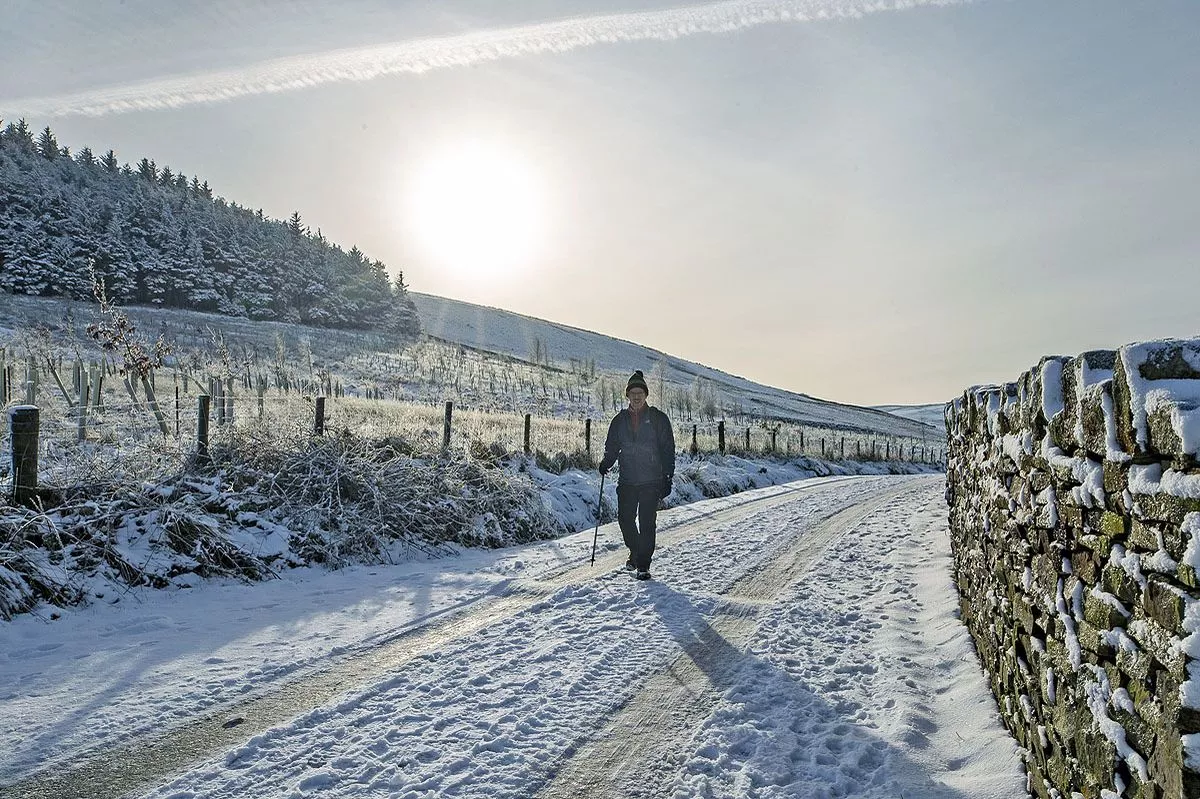
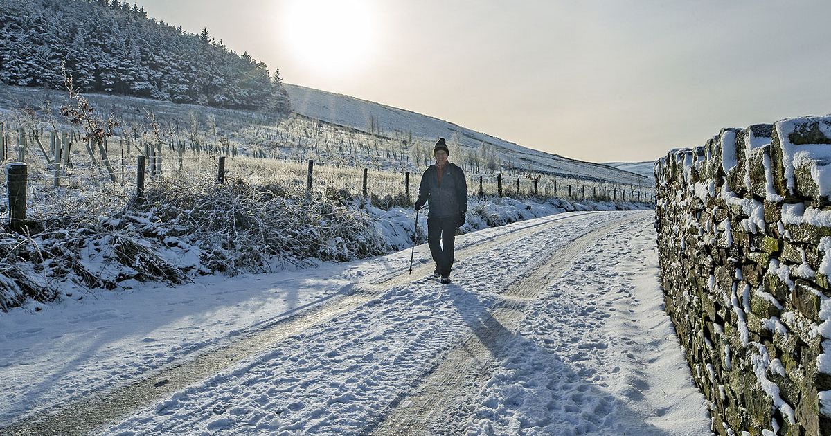
More snow could come before the end of this month! (stock)(Image: PA)
Brits face more snow as Met Office forecasts suggest the white stuff is coming to three areas.
The Met Office’s long range forecasts say parts of the UK will face snow and “wintry hazards” for the period from January 25 to February 18. For the last week of January into early February, forecasters warn that weather systems from the Atlantic will dump rain and snow on the country.
Up until February 3, the Met Office says snow is most likely to come in two places – “across hills in Scotland and northern England”. The forecast for February 4 to 18 suggests more could come in the “northeast”.
The January 25 to February 3 forecast says: “Weather systems moving in from the Atlantic will continue to attempt to push in from the west, but tending to stall in the vicinity of the UK as they encounter high pressure to the north and northeast.

Snow is most likely in northern regions (stock)(Image: PA)
READ MORE: Snow maps show exact time London and Birmingham among areas facing 12-hour stormREAD MORE: UK snow maps show 21 cities face Arctic blizzard as exact date revealed
“As a result, further spells of rain or showers are likely at times. These may be heavy and persistent, especially in the south and west, with the best of any drier interludes in the far north and northeast. Whilst mild conditions are expected to encroach into the south and southwest at times, it is likely to turn somewhat colder through this period, bringing the risk of some snow, most likely across hills in Scotland and northern England, but perhaps extending to other areas with time.”
Looking even further ahead, forecasters warn there will be no let-up in weather fronts pushing across the Atlantic to hit the UK in wintry showers. Cold conditions could bring “wintry hazards” for some parts, the Met Office says.
The February 4 to 18 forecast says: “A similar theme is expected to continue as Atlantic frontal systems attempt to push eastwards at times. As the jet stream is slightly further south than normal, the wettest conditions are more likely in central and southern areas.
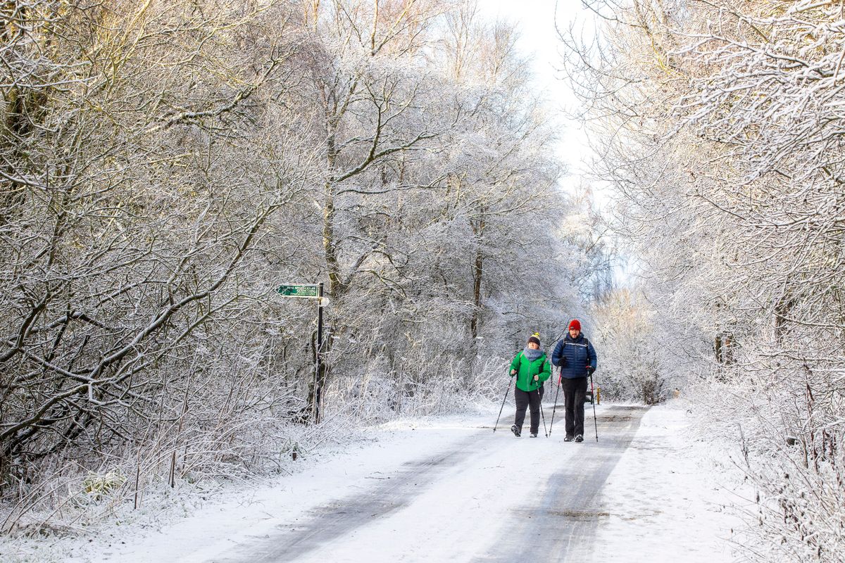
Some areas could face wintry ‘hazards’, forecasters warned (stock)(Image: Katielee Arrowsmith SWNS)
“North and north-western parts of the UK are most likely to be drier than normal. Whilst mild incursions of wet and windy weather are favoured at times in the south and west, colder conditions in the north and northeast will bring associated wintry hazards where any precipitation attempts to spread in, especially on hills.”
BBC Weather forecasters also suggest snow could come soon. The BBC forecast for next week states: “Frontal systems will occasionally try to push north-eastwards, bringing chances of at least one or two rain bands, preceded by snow.
“The high pressure to the north and north-east will provide some resistance to how far these progress, and there should be drier spells of a couple of days or so with just a few wintry showers.”