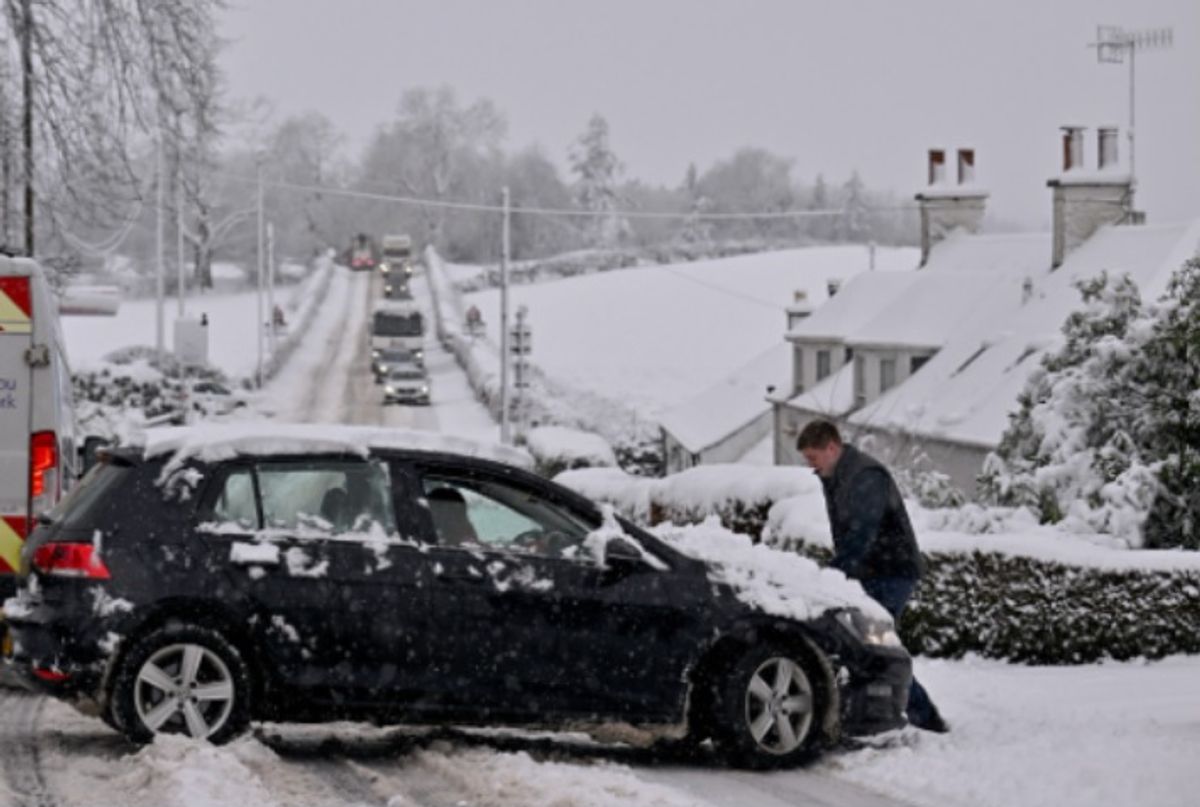
The forecasters and meteorologists hint flurries are on the way.
Met Office names all the UK areas facing snow before Monday – full list(Image: )
The Met Office has named all the areas facing snow between now and the end of Sunday. In a five-day forecast from Thursday, January 22, to Monday, January 26, the forecasters and meteorologists hint flurries are on the way.
In a forecast for the UK, the Met Office promises snow across a string of areas. It namechecks Scotland as being badly affected from Thursday, January 22.
A headline from the Met Office, in the outlook for what lies ahead, explains: “Spells of wet and windy weather. Hill snow over Scotland.” It warns of snow in:
READ MORE Pub hack can boost UK households’ pension savings by £173,000
ScotlandScottish mountainshigher ground and hillsthe north of Englandthe east of England
Storm Ingrid, named by the Portuguese national weather service IPMA, will bring spells of heavy rain and strong winds across parts of southwest England and south Wales during Friday before easing on Saturday morning, the Met Office has also said.
In a yellow warning for rain, the forecasters say: “An initial band of rain early Friday could bring a further 10-20 mm of rain in places in a few hours, with this falling on already saturated ground.”
The meteorological agency goes on to add: “A drier interlude is expected before further bands of locally heavy rain and showers push north into the area through the afternoon, evening and overnight.
“A further 15-20 mm of rain is expected to fall widely across the region by Saturday morning, with 30-40 mm possible in places. Given the saturated nature of the ground, this is likely to lead to some flooding.”
The Met Office adds: “This second period of rain will be accompanied by strong winds and coastal gales, along with some very large waves.
“Gusts are widely expected to be 45-50 mph inland and up to 60 mph near coasts, with winds peaking during Friday evening before gradually easing overnight and into Saturday morning.”

