
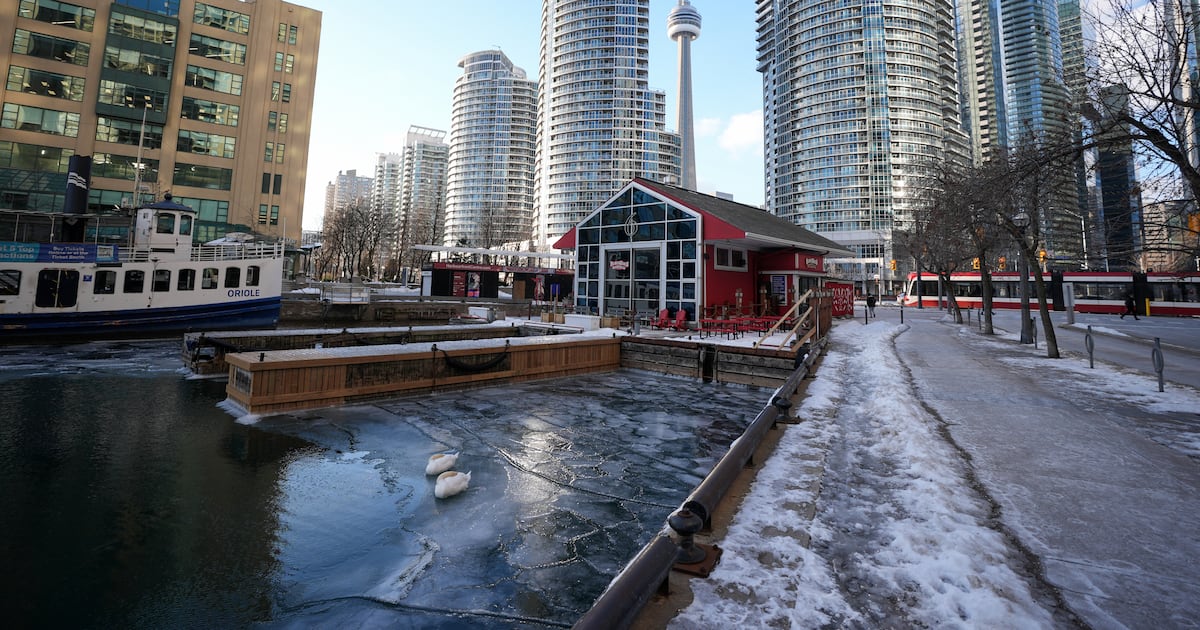
A prolonged blast of bitter cold is forecasted to firmly lock Toronto in winter’s grasp for the rest of the month, as a polar vortex brings on a deep freeze to the Greater Toronto Area (GTA).
Temperatures in Toronto are expected to plunge beginning on Friday morning.
Environment Canada says that the temperature will drop to a low of – 12 C by 8 a.m. but feel like – 21 with the wind chill. By Friday night the temperature will drop to – 22 C and feel like – 30 with the wind chill.
“Our ongoing weather story for the coming days, right through the weekend into next week, is going to be the colder than normal conditions that we are expecting,” Geoff Coulson, a warning preparedness meteorologist with Environment Canada, told CP24 on Wednesday morning.
Coulson notes the wakeup temperature on Saturday morning—expected to be -20 C—is going to be the coldest temperature felt in Toronto this winter so far. He adds the seasonal low is -10 C.
“We are going to be well below that as we finish off the work week and head into the weekend after a relatively seasonal day (on Wednesday),” Coulson said.
Friday: Coldest airmass on Earth will be centered over Ontario with mid-level temperatures of -50°C rarely observed except with most extreme Siberian cold.
And we’ll be given (almost) the “whole load” Polar Vortex — until it comes back for Round 2 in another week. pic.twitter.com/mfsnnvHckW
— Ryan Maue (@RyanMaue) January 20, 2026
Impacts of the Alberta Clipper
An Alberta Clipper pushed through the GTA this week, which CP24 Meteorologist Bill Coulter explains is a fast-moving weather system that doesn’t typically bring a lot of snow because it’s “moisture starved.”
“But one of the characteristics in the wake of an Alberta Clipper, because the counterclockwise spins around low, it drags that cold continental air from the Arctic through the Prairies and the Great Lakes,” Coulter said.
“It’s very characteristic Alberta Clippers don’t give a lot of snow, five to 10 centimetres, max, but they very often, almost always, drag in that cold air pulls down.”
If a wobbling polar vortex comes into play, Coulter says the cold air will spill right onto the Great Lakes region.
Lake-effect moderation typically buffers the Arctic air that breezes over southern Ontario and the GTA, according to The Weather Network (TWN). But, TWN adds that there have been so many bouts of Arctic air this winter that significantly cooled lake surface temperatures, cutting the ability to warm the air above.
“That extremely cold air (Arctic intrusion) will arrive again in the wake of the Alberta Clipper system that is bringing widespread snow (Wednesday) to the GTA,” Coulter said. “Bitterly cold air will then flood over central and eastern parts of Canada and the U.S. through the middle of next week.”
Polar vortex or Arctic intrusion?
A polar vortex is a circulation of strong, westerly winds that form in the stratosphere, Coulter explains, which is usually between 15 to 50 kilometres above both poles every winter.
“Think of it like a top or a dreidel: if you spin it tightly, which is what happens when there’s really cold air and frozen ice caps, it will hold very close to the pole,” Coulter said.
“When it shifts, or gets disrupted sometimes by warming, it will start to wobble like a top and as it wobbles that cold, polar air … starts to descend further south in further southern latitudes.”
In Coulter’s view, it’s more accurate to describe this phenomenon as an Arctic intrusion, as a polar vortex implies the weather system just came to fruition.
Bitter cold January
In the wake of the Alberta Clipper system, Coulter says extremely cold air will arrive again to the GTA starting Wednesday before cooling central and eastern parts of Canada through the middle of next week.
Cold temperatures are expected to stay for the rest of January, as Coulter says extended long-range models forecast temperatures to moderate starting early February.
“The clash of that cold air with warmer subtropical air over the southern U.S. may also spawn a winter storm for our region on Sunday,” Coulter said, adding a couple of models suggest there could be a high-impact storm that day bringing on 10 to 20-plus centimetres of snow.
Environment Canada forecasts a high of -12C through Sunday, with snow continuing into Monday.