
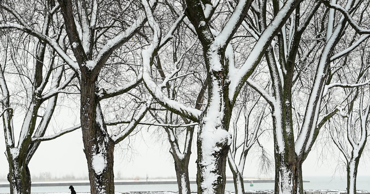
At its warmest point today, Toronto will reach just -12 C, a daytime high that is about 10 degrees cooler than normal for this time of year.
The bitterly cold weather on Friday is expected to continue for the foreseeable future, with a similar forecast expected on Saturday.
Here is what you need to know about Friday’s frigid forecast:
Key details:
Toronto will hit a high of -12 C today but the temperature will slip to -15 C by the afternoonThe temperature will feel like -24 with the wind chill today It could feel close to -30 overnightWarming centres are open across the city 9:30 a.m.
Keith Hambly, the CEO of Fred Victor, an organization that offers support to those experiencing homelessness, said extreme cold temperatures lead to adverse health effects particularly for people who are unhoused.
“Here in Toronto, the challenge for us is to get people off the street into a safer, warmer environment,” he told CTV News on Friday morning.
“We know this extreme cold weather causes so many other health conditions for people who are homeless. Everything from dehydration to frostbite.”
9 a.m.
Coulter said another big system appears to be around the corner. About 20 cm or more could fall at Pearson airport between noon on Sunday and early Monday morning.
“Prepare your wardrobe and travel plans accordingly to stay safe,” he added.
8:50 a.m.
The City of Toronto says surge warming centre remain open today amid the freezing conditions.
8:30 a.m.
CTV medical expert Dr. Marla Shapiro said frostbite can come on quickly
“Depending on where you are and your age and underlying medical conditions, we’ll say anywhere from 10 to 30 minutes, but it is a range,” she told CP24 on Friday morning.
She noted that severe frostbite will require immediate medical attention.
“Make sure you are dressed properly. It is all about prevention here,” she said. “Make sure you are well hydrated.”
8 a.m.
Susan Nguyen, a spokesperson for the TTC, said “as a precaution,” the TTC is intentionally slowing down subway trains on Line 1 and Line 2 in open cut areas as a result of the cold.
7:15 a.m.
CAA spokesperson Kaitlynn Furse said drivers should make sure their car batteries are in working order before hitting the road in extreme cold.
“Your battery has a higher likelihood of having issues in this kind of weather,” she said, adding that batteries typically only last around three to five years.
“You certainly don’t want to be caught out in this.”
Drivers should also make sure their vehicles are equipped with emergency kits, blankets, extra hats, and mitts, she said.
7 a.m.
While some areas of southern Ontario will see lake effect snow bands, the bigger story in Toronto is the cold, Coulter said, adding that the city could see some bursts of flurries today.
6:30 a.m.
Toronto hasn’t seen lows drop to this level in January since 2018, CP24 Meteorologist Bill Coulter said Friday.
“You are going to want to bundle,” he told viewers on Friday morning.
6 a.m.
Environment Canada is calling for flurries beginning near noon today in Toronto. The city will see a high of -12 C, feeling like -24 with the wind chill. The national weather agency said the low will hit -22 C overnight, feeling like -31.