
Rain and hill snow across the northeast easing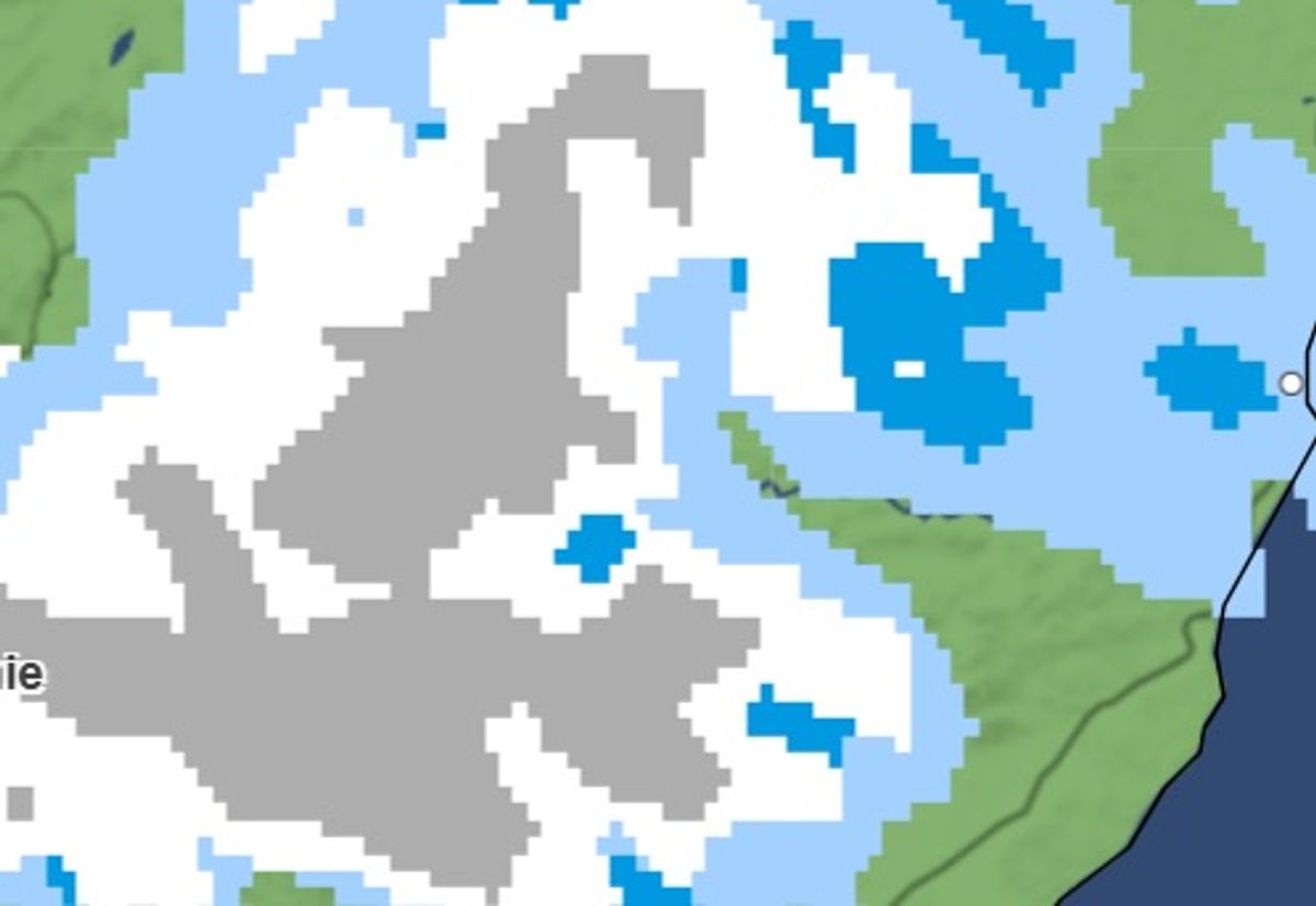
Met Office names all the UK areas facing snow on Saturday – full list(Image: )
The Met Office has warned snow is set to hit parts of the UK tomorrow. Saturday, January 24, could see flurries of snowfall north of the border in Scotland, with towns and cities facing a fresh battering of wintriness from the Atlantic.
A Saturday outlook from the Met Office says: “Rain and hill snow across the northeast easing. Elsewhere, showers often merging into longer spells of rain at times, particularly across the southwest. Widely windy with coastal gales.”
Its outlook for Sunday to Tuesday adds: ” Remaining unsettled throughout, with bands of rain moving north and east across the country. Gradually turning colder from the northeast, with an increasing risk of snow, particularly over northern hills.”
READ MORE Major UK holiday parks collapse into administration – but some bookings safe
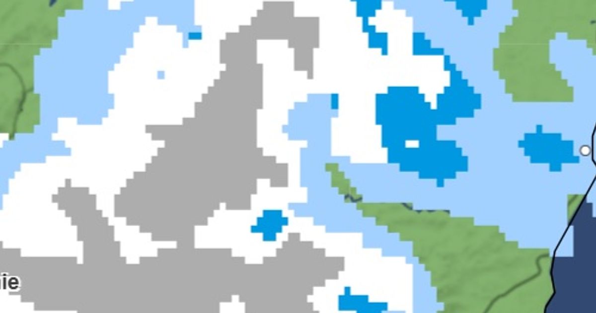
Maps for 10:30pm on Friday show snow in Foyers, Dalwhinnie, Fort William, Grantown-on-Spey and Kingussie, as well as Glendoll Lodge. Separate patches of snow are seen above Wick and Ullapool too.
By Saturday, the snow is set to stay above the affected areas but at a far heavier rate, with patches of white seen across northern Scotland and central Scotland too.
Forecasts show the snow will intensify through Saturday, before reaching the northern tip of Scotland, right down to Fort William too.
Met Office names all the UK areas facing snow on Saturday – full list
Dalwhinnie
Fort William
Loch Rannoch
Pitagowan
Pitlochry
Glendoll Lodge
Kingussie
Foyers
Loch Ossian
Fort Augustus
Fasnaloich
Finnart
Crieff
Crianlarich
Strathyre
Grantown-on-Spey
Aberlour
Wick
Simon King, from BBC Weather, said: “Met Office weather warnings have been issued for wind and rain in parts of the UK.
“The very wet weather will continue across eastern Scotland but Storm Ingrid – named by the Portuguese weather service – brings more rain across England and Wales.
“Strong winds will accompany the rain, especially in south-west England with coastal gales.
“Some travel disruption is likely due to flooding but large waves combined with high tides will bring coastal overtopping and additional hazards.”