

The nationwide snow will impact cities all over, with Manchester being hit by the continuous flurries
James Rodger Content Editor and Olivia Beeson
03:39, 24 Jan 2026
Snow in Oldham on January 6(Image: Ryan Jenkinson | Manchester Evening News)
The UK is set to brace for 40 hours of non-stop blizzards starting next week. According to forecasters cities across the nation will be blanketed with white stuff as continuous flurries are anticipated.
Maps and charts from WX Charts, which use Met Desk data, indicate that snowfall will begin on Monday, January 26 in England, starting in the south west.
Scotland is expected to see the heaviest amount of snow, with up to 70cm anticipated north of the border. Based off the data, in England the north east will be impacted badly as snow is also likely to cause disruption in Greater Manchester.

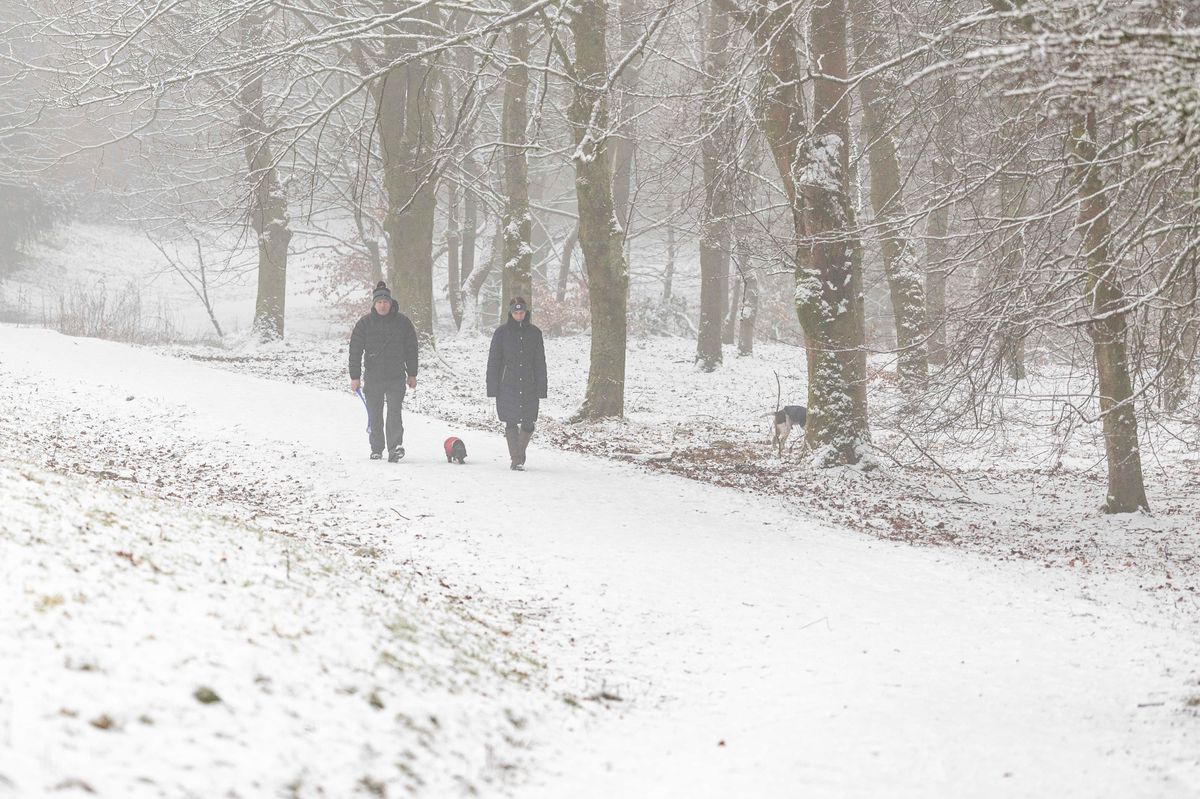
Manchester will be hit by snow on Monday (Image: )
As conditions are predicted to last the UK Health Security Agency (UKHSA) has issued a yellow alert for the North West, with weather expected to impact healthcare services and pose a ‘risk to life’ for vulnerable groups.
Towns and cities are being warned of disruption, with meteorological agencies and forecasters suggesting flurries are likely to return next week and cause chaos on the roads.
Maps suggest that light-moderate snow will hit Wigan, Bolton, Bury, Rochdale, Oldham, Tameside and parts of Stockport at 9pm on Monday as a band of rain and snow pushes eastwards across the UK.
Then on Tuesday, January 27 more snowfall will continue across the region, with Rochdale, Oldham, Tameside expected to see the heaviest snow. Elsewhere in Greater Manchester, sleet or rain is forecast.
The rest of the week will remain cold however temperatures are looking to rise as February begins. Netweather TV said: “It looks probable that we will shift into a mild and changeable south-westerly type as we head into February, but there is considerable uncertainty over how rapid this transition will be.
“This means that the early part of this week in particular is still likely to have mostly below-average temperatures, with potential for wintry spells if the very cold air to the east pushes as far west as the British Isles.
“Later in the week there is a greater likelihood of wetter conditions with temperatures rising close to or rather above the seasonal average.
“The odds thus favour below-average temperatures again overall during this week.
“Precipitation is likely to be above normal in the south and east of Britain but below average in the north-west, while sunshine is likely to mirror the precipitation, below average in the south and east but well above average in the north-west.”