
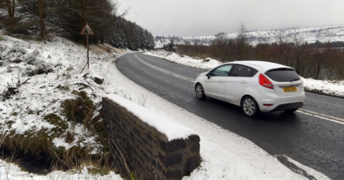
WX Charts maps and charts show the UK could be buried under up to 18 inches
Next UK snow bomb will be 18 inches deep and last for 24 hours non-stop(Image: )
The exact date a UK snow bomb is set to hit in February – bringing 18 inches for 24 hours NON-STOP- has seemingly been revealed by forecasters.
WX Charts maps and charts show the UK could be buried under up to 18 inches of snow in just 24 hours on February 7. The maps and charts have turned white, with snowfall set to hammer Scotland, from 9am.
Snow is also forecast for the north east of England, with the heaviest accumulations and showers bringing the deepest depths to the Highlands, including the Cairngorms National Park and Aberdeenshire. The Borders, too, faces a dusting, along with major towns and cities like Inverness and Dundee.
READ MORE Major UK high street chain rebrands and starts shutting stores tomorrow
Glasgow is also at risk, as the snow makes its way downf rom the Highlands to the south, while in England, the east coast – particularly East Anglia – is shown covered in blobs of white.
By 6am the following day, 18 inches may have accumulated in the Cairngorms. It marks a 24 hour snow blast, from February 7, to February 8.
Exacta Weather’s James Madden predicts: “Importantly, the next bout of unsettled weather conditions will mix with the colder conditions during Tuesday evening and into much of Wednesday and the areas at risk for snow and heavy snow are in the northern half of the country once again and including lower levels from central England and upwards and also in large parts of Ireland but with some of this snow now starting to form in parts of southern England during this same period (something we expect to intensify nearer time).”
Mr Madden said: “To conclude, we have just covered the above and widespread snow expectations with localities for TWO separate high-confidence occasions next week, and we have also given far more concise information than anywhere else will be giving for snow on this at present.”
He went on: “Additionally, the current projections for NO wintry weather and further ahead of this in terms of milder weather from the so-called public weather provider and elsewhere are not only ‘misleading’ but likely to be ‘wrong’ and viewed as wrong by the public, as further widespread and developing snow showers will be likely to form in places through much of next week and potentially ‘beyond’ this, particularly in the northern half of the country but also not necessarily being restricted to these parts, particularly as we progress through next week and around midweek.”