
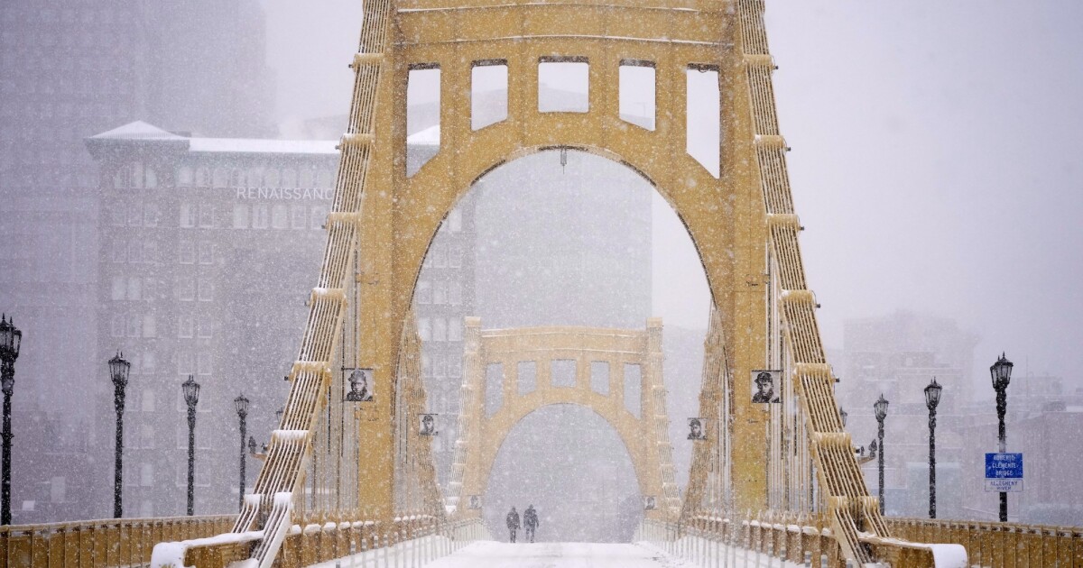
Sunday’s winter storm dumped an official 11.2 inches of snow at the National Weather Service station in Moon Township, falling 0.2 inches short of the region’s record for the highest single-day snow accumulation in the region this century.
That record of 11.4 inches was set February 5, 2010 during the “Snowmageddon” storm.
Across the area, totals ranged from 9 to 16 inches of snowfall, with a region-high accumulation of 23 inches in New Bethlehem.
With the snow (and the speculation about snow) behind us, the forecast going forward is for extreme cold. So extreme, that the National Weather Service has issued an Extreme Cold Warning for Monday night through midday Tuesday.
Low temperatures will fall below 0 degrees across the region, with windchills around -20 degrees.
The cold will stick around for as far as the forecasters can see.
“We don’t have any shot of getting temperatures anywhere close to freezing until maybe early next week,” said Matt Brudy, a meteorologist with the National Weather Service.
The lingering cold will cause more ice to form on the area’s rivers — and the snow will stay in place.
“It’s going to take a long time to melt this,” Brudy said.
Between the snowy roads and the extreme cold, many schools and institutions across the region have announced closures Monday. Officials are urging residents to avoid unnecessary travel as they work to remove snow from roads.
For updates on closures and conditions, we’re keeping this story updated at wesa.fm.
Pittsburgh Mayor Corey O’Connor declared a state of emergency Monday morning in response to the historic snowfall that blanketed the region over the weekend.