
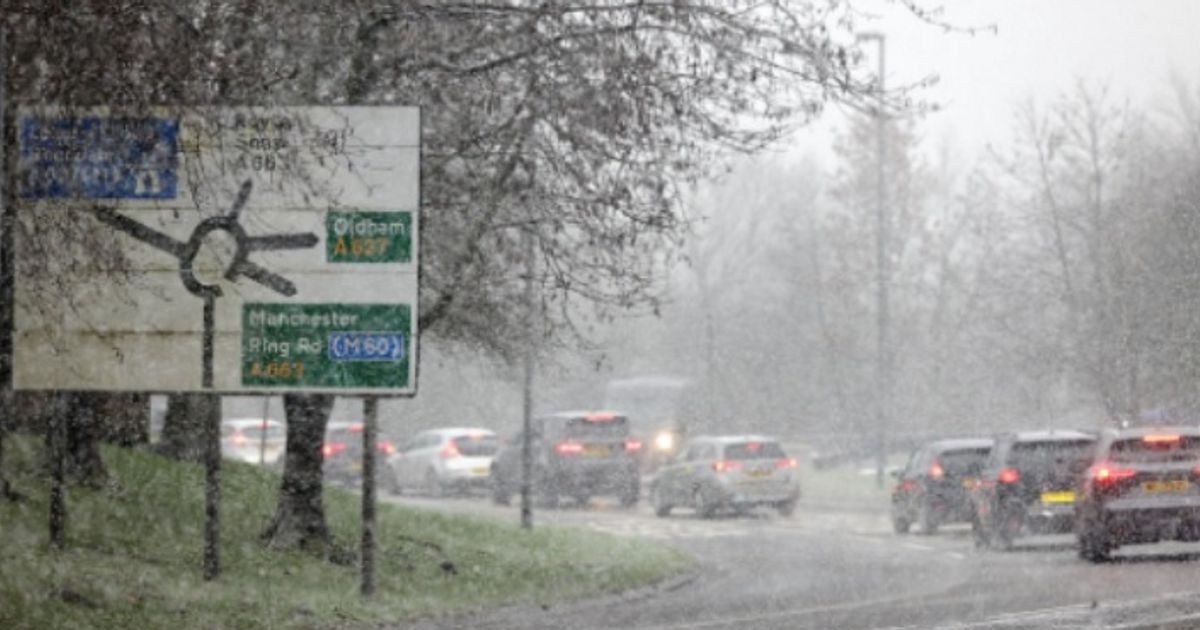
The Met Office has earmarked a string of places as being hit by snow as we head into the week.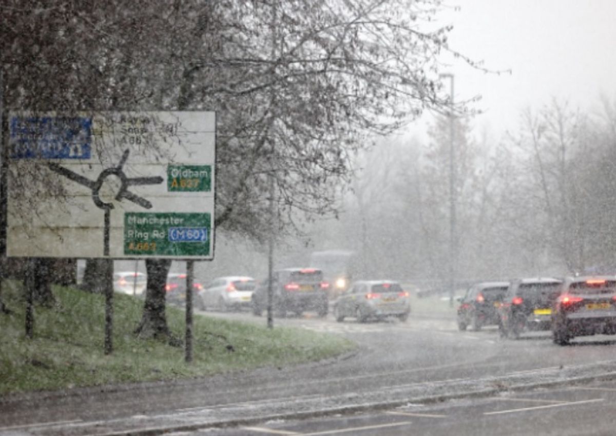
The Met Office has earmarked a string of places as being hit by snow as we head into the week.(Image: )
The Met Office has named all the places set for snow as a band of snow makes its way “across the country”. The Met Office has earmarked a string of places as being hit by snow as we head into the week.
The Met Office forecast cites there is a risk of “hill snow” on Tuesday, January 27, as it triggers yellow weather warnings. It expects “showers and possible hill snow moving across the country with strong winds, particularly on Tuesday,” it said.
A Met Office forecast for Monday (January 26) explains: “Largely cloudy today with outbreaks of rain and hill snow in the northeast. Heavy rain and strengthening winds will push into the west during the afternoon, bringing a risk of flooding in some areas. Coastal gales possible in Northern Ireland.
READ MORE Drivers in England being handed £500 ‘goodwill’ payment – full list
“Heavy rain will spread across the country overnight with strong winds in the west and hill snow in the north. Coastal gales are likely around western coasts.”
Forecasters and meteorologists have also namechecked a string of places, and regions, which could face snow this week. In a written forecast on its website, it warns snow is likely in:
the north east of Englandnorth of EnglandScotland
A Tuesday outlook adds: “Cloudy with heavy persistent rain at first. Rain gradually moves east, clearing to sunny spells and blustery showers to the southwest. Windy with coastal gales, perhaps severe in the southwest.”
And the outlook for Wednesday to Friday says: ” Changeable with spells of rain, and hill snow possible in the north. Drier in the east on Wednesday with some sunny spells. Feeling chilly with temperatures around the seasonal average.”
James Madden, from Exacta Weather, said: “The upcoming week is likely to be largely unsettled at times with wet weather conditions and precipitation turning to transient snow or potentially heavy snow in places as these expected unsettled conditions coincide with colder conditions across our shores, particularly during the overnight and morning periods, but also not necessarily restricted to these time periods, particularly as the week progresses as I will explain.
“To start the current week and for much of Monday, it will be largely dry for many to begin with and with the worst of any weather kind likely to be in the form of mist or fog in certain places, and any rain and/or wintry weather with snow will more than likely be restricted to moderate to higher ground to the east of Scotland.”