
Storm Chandra is battering swathes of the UK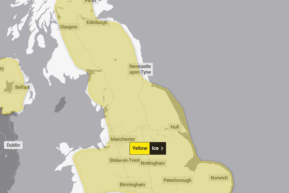
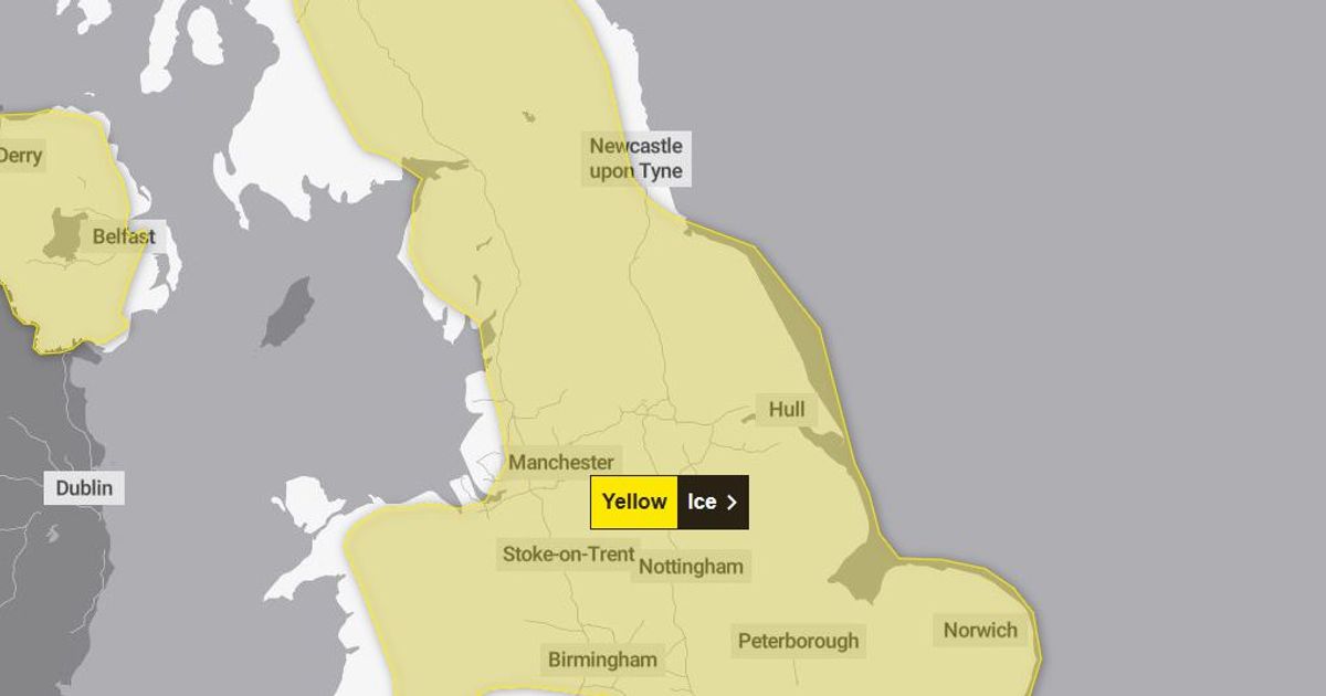
The weather warning in place(Image: Met Office)
The Met Office has issued a weather warning over the potential for dangerous ice across Greater Manchester. Temperatures are expected to plunge overnight and into Wednesday morning, with forecasters predicting the conditions will see the formation of widespread patches of ice.
“Patchy ice is likely to form on untreated surfaces by Wednesday morning and may lead to some disruption,” said the Met Office in an alert. Forecasters have warned of the possibility of slips and falls on icy surfaces.
The yellow-coded warning – which comes as Storm Chandra battered swathes of the UK with high winds and driving rain on Tuesday – comes into force overnight and will remain until 10am on Wednesday. Greater Manchester and Lancashire are both covered, as are most parts of the UK.
The Met Office warned of icy patches on some untreated roads, pavements and cycle paths – creating dangerous conditions.
“Clearing skies Tuesday night will allow temperatures to fall below freezing soon after midnight and on Wednesday morning,” said the Met Office.

A warning has been issued(Image: Sean Hansford | Manchester Evening News)
“After the recent wet weather, icy patches are likely to develop on some untreated surfaces. Keep yourself and your family safe when it is icy. Plan to leave the house at least five minutes earlier than normal. Not needing to rush, reduces your risk of accidents, slips, and falls.
“If you need to make a journey on foot, try to use pavements along main roads which are likely to be less slippery. Similarly, if cycling, try and stick to main roads which are more likely to have been treated. Give yourself the best chance of avoiding delays by checking road conditions if driving, or bus and train timetables, amending your travel plans if necessary.
“Be prepared for weather warnings to change: when a weather warning is issued, the Met Office recommends staying up to date with the weather forecast in your area.”
Heavy rain and strong winds hit the UK as Storm Chandra brought weather warnings, flooding, travel disruption and school closures on Tuesday. Several weather warnings were in force on Tuesday, including amber warnings for south-west England and the eastern coast of Northern Ireland for rain and wind respectively.
The Met Office said gusts of 60mph to 70mph will affect eastern Northern Ireland, with possible 75mph gusts in coastal locations, adding that “easterly winds of this strength are unusual and are likely to be impactful”.
An amber warning for wind is in place on the eastern coast of Northern Ireland from 5am to 9pm on Tuesday, with an additional yellow rain and wind warning for the whole of Northern Ireland for all of Tuesday.
Less severe yellow warnings are in place for a more extensive area of southern England, as well as parts of northern England and Scotland. There were more than 100 flood warnings in place across England early on Tuesday morning, with the majority in south-west England.