
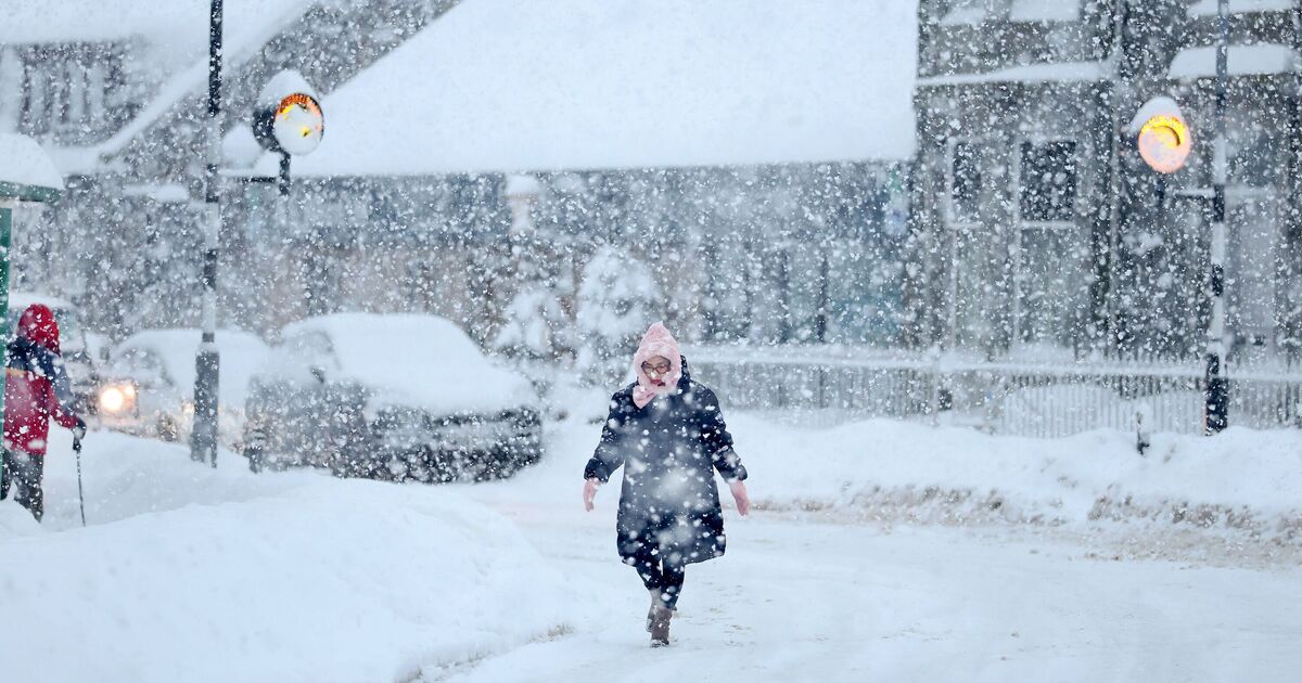
On 8th February, the GFS weather model indicates a significant snow mass forming east of Britain. Whilst initial snowfall in northern England and Scotland will be modest, the maps suggest this weather system could merge with another approaching from the south, resulting in nationwide snow coverage.
Heavy flurries are predicted on the maps across southern England at midnight on 8th February, whilst a substantial purple zone indicates snowfall across the Midlands, Wales, northern England and Scotland. Major cities including Birmingham, Manchester, Newcastle and Edinburgh appear to be directly affected.
By midday on 9th February, the maps indicate snow will have extended to Northern Ireland, affecting Belfast. The most significant snowfall is anticipated in north-eastern England during this period, with substantial flurries also impacting the north-west.
The data indicates that by midnight, Northern Ireland will experience the most intense snowfall. Southern, central and north-eastern Scotland can anticipate the white stuff throughout the day.
Snow coverage maps for 3am on 10th February reveal settled snow across portions of southern England, the Midlands, and nearly all of Wales, Northern Ireland, northern England and Scotland. Snow depth forecasts indicate the Scottish Highlands could experience up to 65cm (26 inches).
The North Pennines may see 16cm (six inches), whilst Northern Ireland could receive 8cm (three inches) and North Wales 4cm (1.5 inches).
The Met Office has also suggested snowfall could occur at the beginning of February as weather fronts from the north-east and south-west meet. Its outlook for February 1 to 10 reads: “Weather systems from the Atlantic will continue to attempt to push in from the west, but tending to stall in the vicinity of the UK as they encounter high pressure to the north and north-east.
“As a result, further spells of rain or showers as well as strong winds are expected at times. Rain may be heavy and persistent, especially in the south and west. Whilst mild conditions are expected to encroach into the south and south-west at times, cold air is likely to be positioned to the northeast, bringing wintry showers at times.
“Where fronts from the south-west do reach the cold air towards the north-east, there is the risk of some snow, most likely across hills, but perhaps extending to lower areas at times.”