
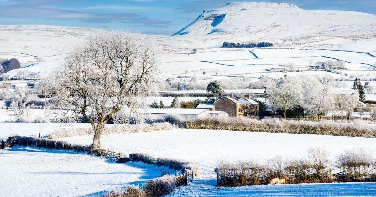
Cold wintery conditions are headed for the UK this Friday, with weather maps showing purple covering the country. From midnight on Friday 30, maps show snow in Dundee, Birmingham, Stoke-on-Trent, Sheffield and Nottingham.
While other parts of the country won’t see snow, vast swathes will see rain. Maps show blue across Oxford, London, Southampton, Bristol, Dover, Brighton, Gloucester, Shrewsbury and into Wales. By 3am, more places will see snow with it now stretching to Sheffield, the Peak District, Hunstanton, the Lake District and Blackpool.
In Northern Ireland, snow will also be seen north of Belfast.
By 6am, maps show snow will mainly be restricted to the north west of England.
Rain will make its way across the east coast of England, stretching all the way from the north to the south.
The Met Office five day weather forecast says that today, fog will gradually become confined to hills, though it will be a rather cloudy day overall.
There will be patchy rain and hill snow affecting the northeast, whilst the far west and southwest will be breezy with showers, replaced by heavy rain later.
Tonight, it says that conditions will be rather cloudy with some rain and hill snow in the north.
There will be wet and breezy weather towards the southwest moving northeastwards overnight. It will turn clearer and showery in the southwest later.
For Friday, it says: “Friday looks rather cloudy and breezy with rain moving northwards, giving snow over some northern hills.
“Briefly brighter in the south, though heavier rain and especially brisk winds develop here.
As for Saturday to Monday, it adds: “Remaining unsettled over the weekend and to start next week.
“Showers or longer spells of rain affecting most areas, coupled with brisk winds at times. Further snow on northern hills.”