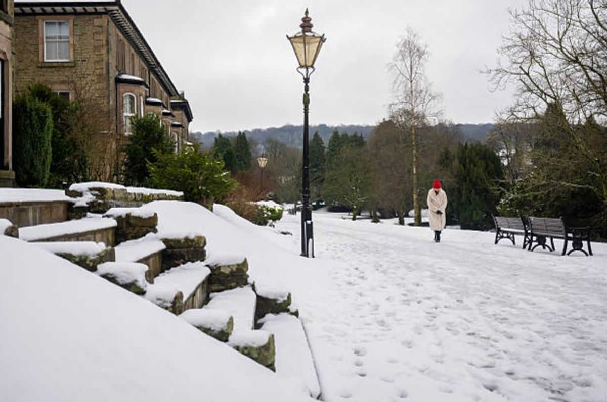
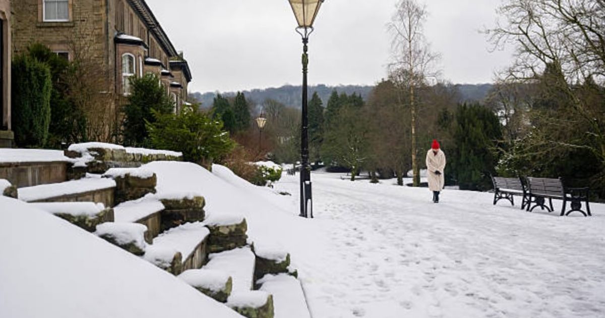
The weekend – which marks the end of January and start of February – is forecast to be a wintry one.
The weekend – which marks the end of January and start of February – is forecast to be a wintry one.
The Met Office has issued an update and extended its snow forecast – with MORE areas facing flurries until Monday, February 2. The weekend – which marks the end of January and start of February – is forecast to be a wintry one.
The Met Office expects further wet and breezy weather on Thursday, with some snow, before flurries of the white stuff through the evening, too, lingering into Friday, January 30. Across the weekend, there is a risk of further snow showers.
Flurries are likely in certain areas of the country, according to the early projections and estimations from the Met Office forecasters. It has namechecked certain areas in its forecast, which spans today (January 29) to Monday (February 2).=
READ MORE Petrol and diesel cars set to vanish from UK roads with drivers warned
The Met Office says fog will gradually become confined to hills, though it will be a rather cloudy day overall. Patchy rain and hill snow affecting the northeast, whilst the far west and southwest will be breezy with showers, replaced by heavy rain later. It expects snow in the following areas and regions:
north of England (Thursday, January 29)north east of England (Thursday, January 29)northern hills (Friday, January 30)northern hills (Saturday, January 31)northern hills (Monday, February 1)
The Met Office forecast adds: “Rather cloudy with some rain and hill snow in the north. Further wet and breezy weather towards the southwest moving northeastwards overnight. Turning clearer and showery in the southwest later.
“Friday looks rather cloudy and breezy with rain moving northwards, giving snow over some northern hills. Briefly brighter in the south, though heavier rain and especially brisk winds developing here.”
It goes on and adds: “Remaining unsettled over the weekend and to start next week. Showers or longer spells of rain affecting most areas, coupled with brisk winds at times. Further snow on northern hills.”
Exacta Weather’s James Madden said: “Moving forward, we also have the early February major atmospheric disturbance and SSW (Sudden Stratospheric Warming) event to enhance these cold and wintry expectations over the coming weeks in February and also into spring and particularly March.
“Over the past several weeks, we have repeatedly posted at least 7-10 separate dated updates or more for a cold and snowy period during late January and early February due to earlier atmospheric disturbances and SSW (Sudden Stratospheric Warming) weather events.”

