
The Met Office has issued yellow weather warnings for rainfall with flooding possible following Storm Chandra’s disruption
Eliana Nunes and Oliver Radcliffe Live News Reporter
12:37, 29 Jan 2026
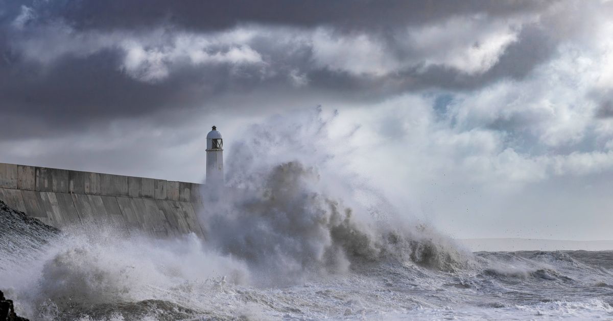
Parts of the UK have been warned to expect a battering of rain(Image: mark woodward via Getty Images)
The Met Office has issued urgent warnings to eight regions across England that are braced for torrential downpours which could lead to widespread flooding .
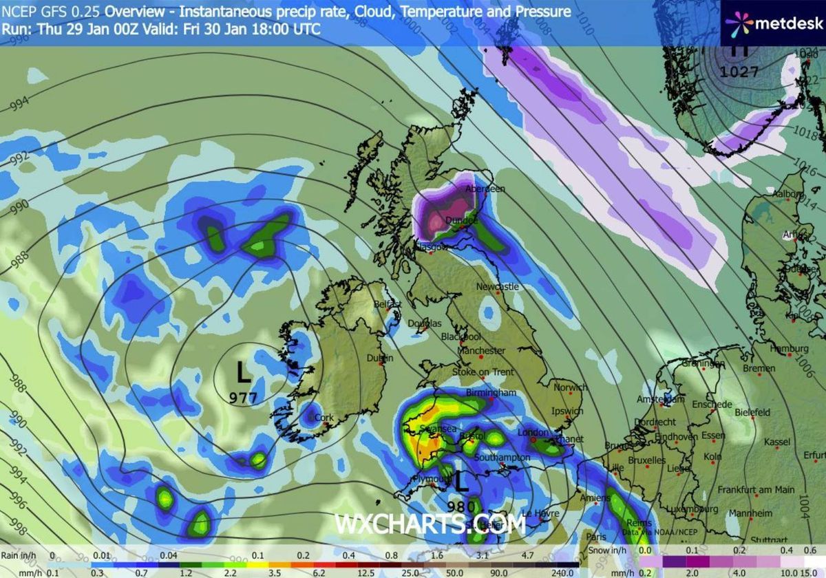
Thursday’s yellow weather alert, active from midday through to midnight, encompasses parts of South West England including Cornwall, Devon and Dorset, with today’s new alert including eight rather than four locations within the area.
A separate yellow alert, running from 9am Friday through to 6am Saturday, affects the same regions with the exception of three eastern districts: Bournemouth Christchurch and Poole, Dorset and Wiltshire.
This follows Storm Chandra’s battering of Devon and Cornwall on Monday and Tuesday, which forced the closure of schools, shops and pubs leaving several motorists trapped in floodwater and requiring emergency services to evacuate residents from their homes.
Residents in locations subject to the rainfall alerts across all three days are advised to assess whether their homes face flood risk and to establish a flood response plan along with an emergency kit where necessary, reports the Mirror.
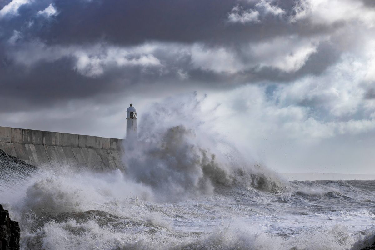
The turbulent weather is set to batter the south coast
Regions under Thursday’s alert:South West England:Bournemouth Christchurch and PooleCornwallDevonDorsetPlymouthSomersetTorbayWiltshireRegions under Friday and Saturday’s alert: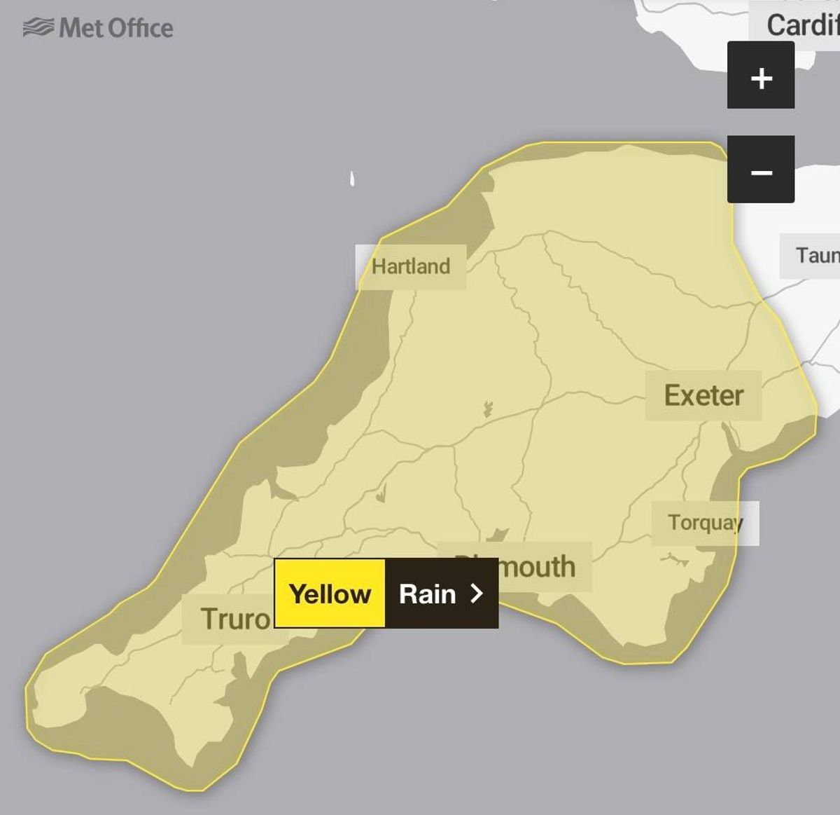
The alert for Friday and Saturday(Image: Met Office)
South West England:CornwallDevonPlymouthSomersetTorbay
Across Devon, 47 schools shut their doors on Tuesday whilst transport links were severed, including the A30 between the B3174/B3180 junctions near Ottery St Mary and the B3184 for Exeter Airport. Meanwhile, Dorset Council advised drivers on Wednesday to steer clear of flooded roads and heed closure warnings.
The authority stated: “Storm Chandra brought extremely heavy rain and rapid rises in river and groundwater levels alongside already waterlogged ground. In some places, river levels reached, or even passed, their highest ever recorded levels, causing water to spread over adjoining land and roads.”
Storm Chandra represents the most recent weather system to receive designation from the western European storm naming group shared between the UK, Ireland and the Netherlands.