
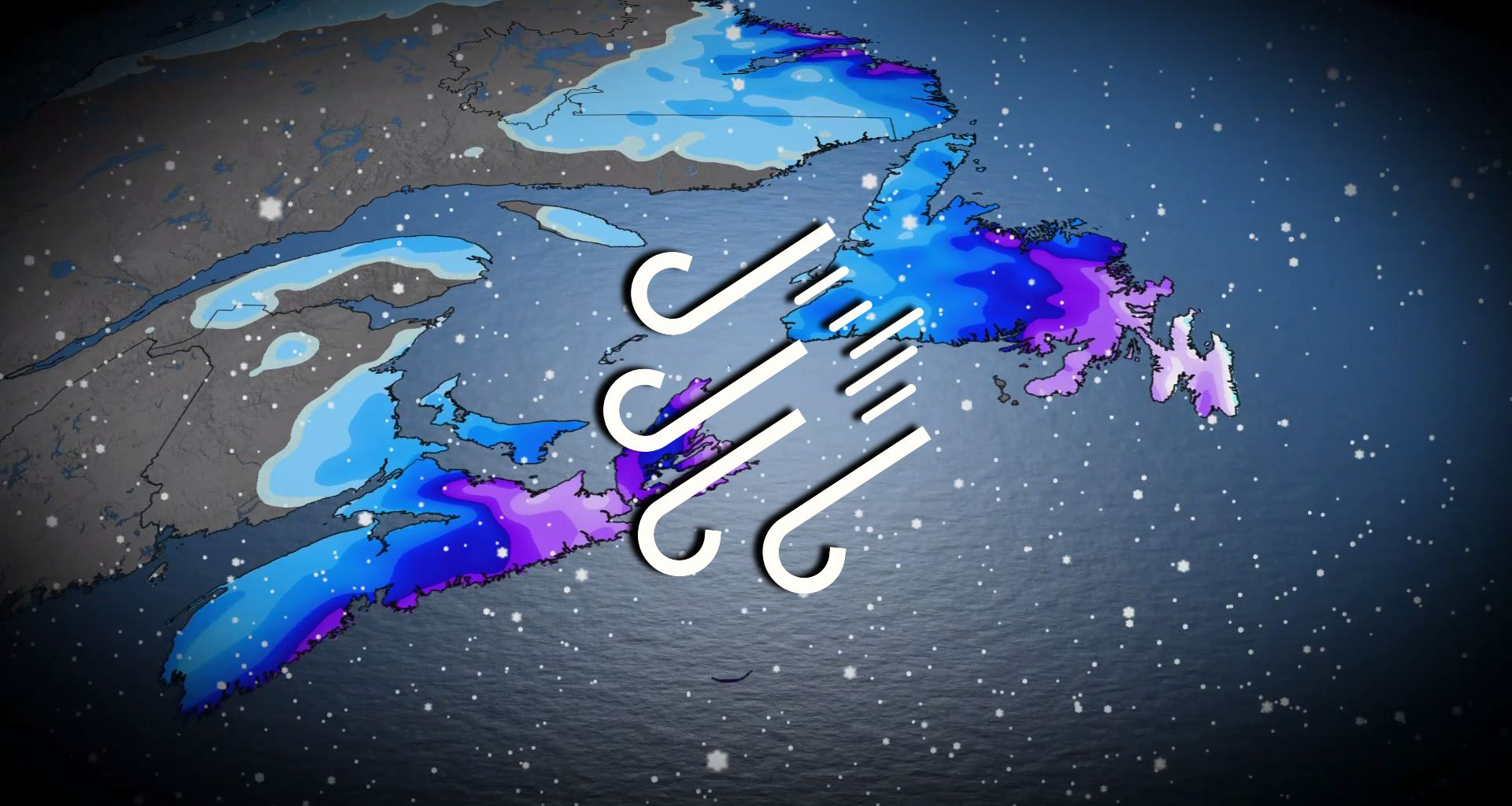
Snowfall rates and wind gusts will both intensify as the storm approaches the region into the overnight hours. We could see 2-3 cm per hour alongside 60-90 km/h winds, which will create whiteout conditions at times.
The impacts will continue into the day Monday as the snow and wind push into Newfoundland.
Southeastern sections of Newfoundland are set to see 3-5 cm per hour snowfall rates with wind gusts that could exceed 90 km/h, buffeting the region with its own spell of whiteout conditions.
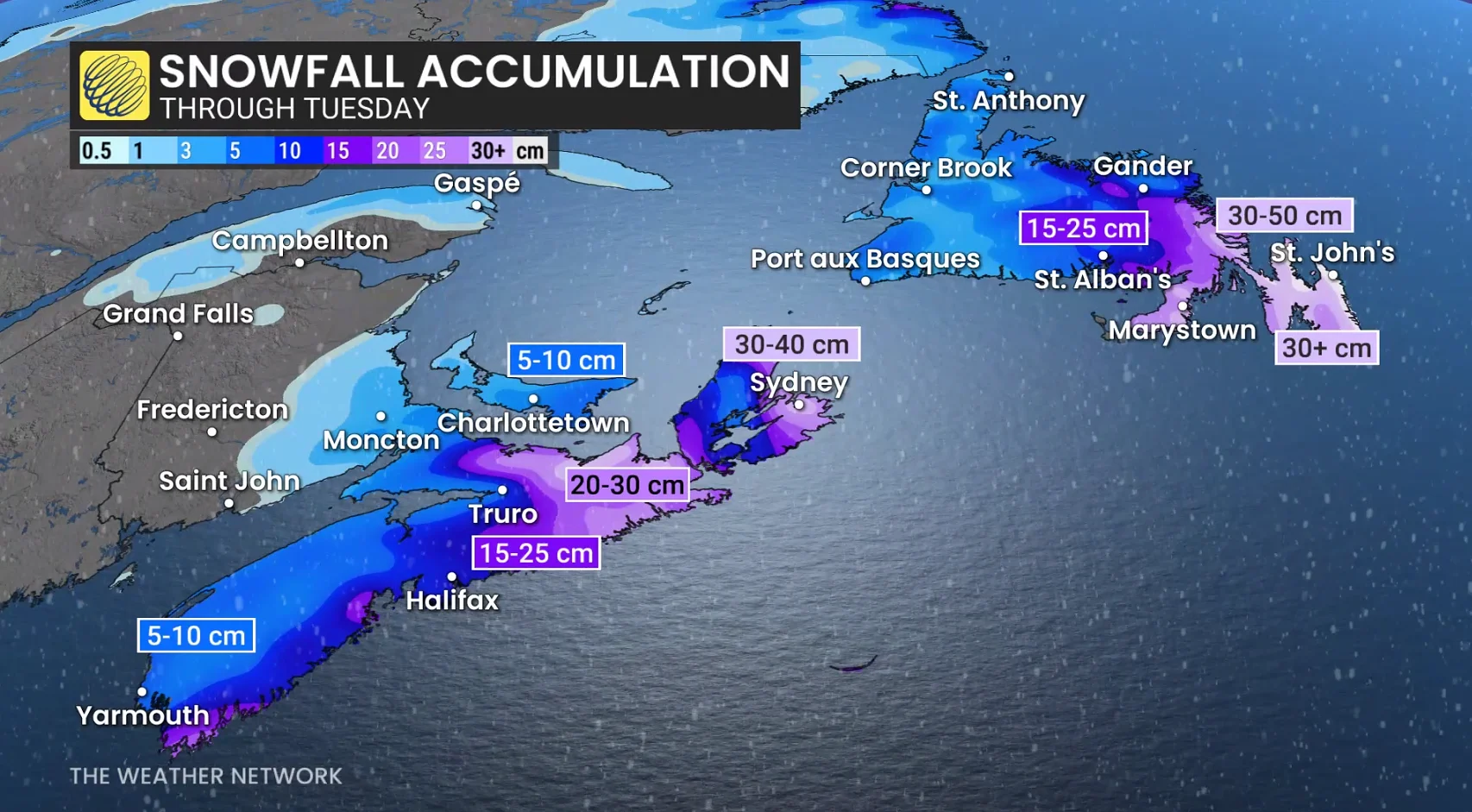
There is still some uncertainty in the storm’s track, which could decrease snowfall totals for coastal sections of Nova Scotia if some of the moisture lingers offshore.
Significant snowfall totals are likely by the end of the storm. Portions of Nova Scotia will see 20-40 cm of accumulation from this system, while up to 50 cm of snow is possible for sections of Newfoundland’s Avalon Peninsula.
Whiteout conditions and rapidly accumulating snow will lead to dangerous to near-impossible travel conditions during this system. School closures are likely in the affected areas.
Stay with The Weather Network for the latest updates across Atlantic Canada
WATCH: Eastern Canada preps for storm, including Shubenacadie Sam