
After a rainy weekend, the forecast suggests that this rain will soon turn to snow for the region later in the week.
The region is predicted to remain unsettled this week with further spells of rain and a low maximum temperature of 8°C anticipated on Monday.
By Tuesday, February 3, the Met Office forecasts a ‘dull and damp day’ as a rain band will keep pushing northwards, resulting in more low cloud and heavy downpours.
Strong winds will persist in coastal regions and over hills, with a maximum temperature likely to reach around 7°C.
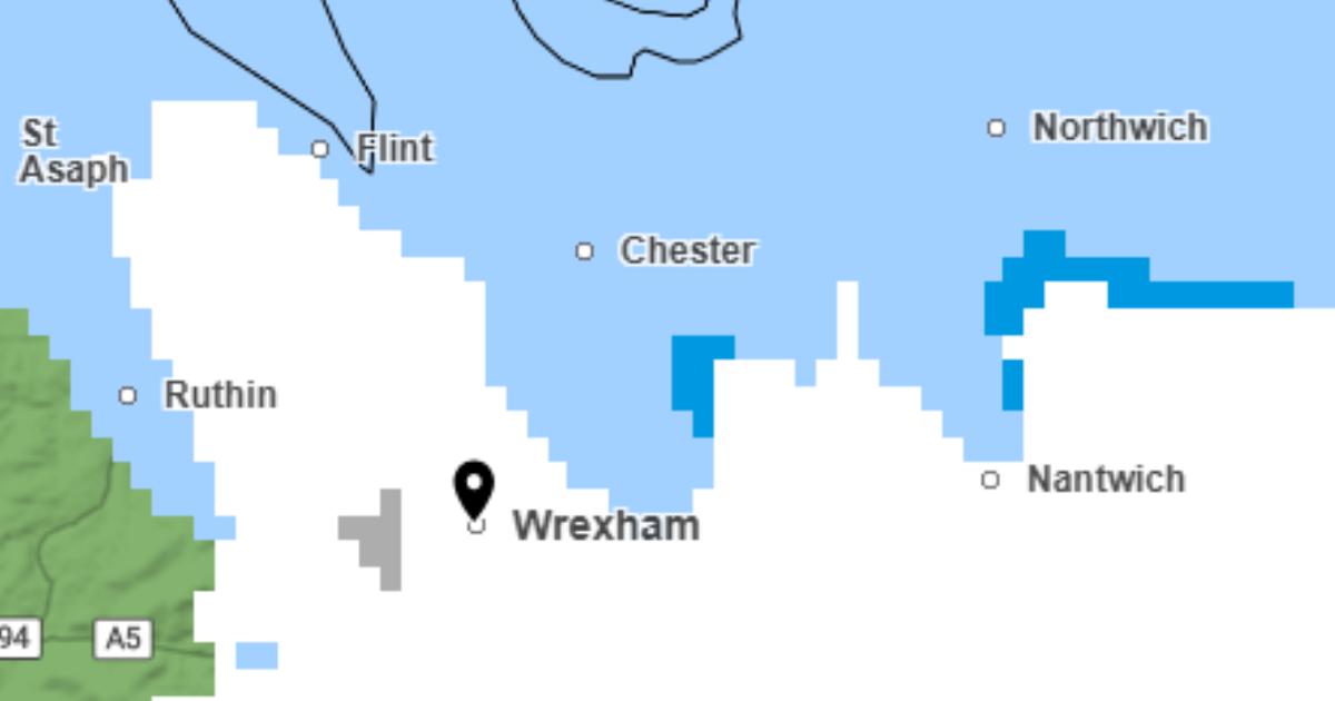
The snow will start to make an appearance in higher areas of Wrexham around midnight on Wednesday, February 4.
Snow is anticipated to then move into other parts of Wrexham and southern Flintshire from about 1am.
Wrexham is expected to have intervals of snow alternating with rain.
From around 4am, snow will fall across Wrexham and Flintshire, although some coastal areas of Flintshire may remain rainy.
The snow will persist across both counties into the early hours of the morning, with some locations experiencing heavy snow showers.
From around 7am, the more northern parts of Flintshire will see snow changing to rain, although snow will continue for the rest of the area.
This trend will continue until about 8am, at which point the snow will turn to rain across all of Wrexham and Flintshire.
This rain is then expected to start clearing around midday, as the region begins to dry up.
Snow could return to the region on Thursday, February 5, at around 6pm, covering a large part of Wrexham and Flintshire.
The snow could be heavy in certain areas, although for some, it will rapidly change to rain.
The heavy snow is expected to continue steadily moving across the counties, including into the early hours of Friday, February 6.
For Wrexham, snow is expected to ease and turn to rain by 9am, but more central areas of Flintshire may continue to see snow.
By 3pm, there’s no more snow forecast for either Wrexham or Flintshire, but intermittent rain showers are anticipated.