
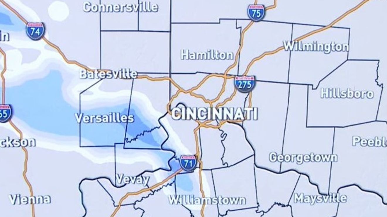
CINCINNATI (WKRC) – The Tri-State is preparing for another round of snow as temperatures rise above freezing for the first time in 11 days.
Expect 1 to 3 inches of snow to fall Tuesday, mainly during the midday and afternoon hours. Slick conditions are possible on untreated roads.
7 a.m. through Noon Tuesday:
Light snow overspreads the area. Accumulations begin. An inch or less.
Noon through 5 p.m. Tuesday:
Snow continues, moderate at times, especially from Cincinnati to points south and east. 1-2 inches of accumulation.
5 p.m. through 8 p.m. Tuesday:
Lingering flurries. Accumulating snow moves south and east of Cincinnati and exits area after 8 p.m. Little to no additional accumulation for the I-275 loop, but accumulations continue south and east where isolated higher amounts seem most possible.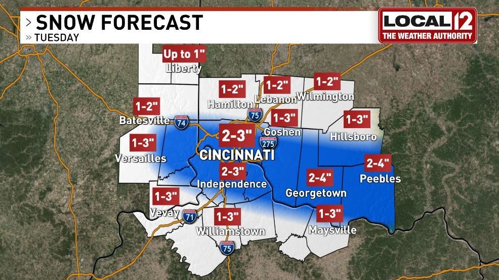
Snow is expected to taper off by about 7 p.m. Tuesday, followed by colder and drier weather Wednesday and Thursday. Another chance for snow arrives Friday, potentially mixing with rain as temperatures climb into the upper 30s.
Comment with Bubbles
JOIN THE CONVERSATION (1)
Despite the continued winter weather, long-range forecasts show signs of a warmup, with temperatures climbing into the 40s next week.