
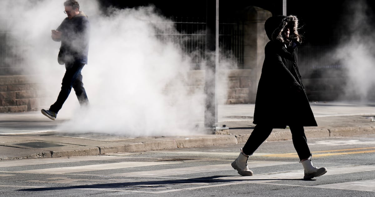
Toronto has now seen 18 days without a melting temperature, marking one of the longest cold snaps the city has seen in more than a decade, retired Environment Canada Climatologist David Phillips says.
“Morning, noon, and night, temperatures have been below the freezing mark,” Phillips said. “We got down to -20 C or -21 C, a wind chill of -30, so intensely cold.”
The deep freeze was an abrupt shift from temperatures seen at the beginning of January.
“We had a 10-day heat wave from about the 5th to the 14th. We had temperatures up to 15.2 C,” he said.
“People thought spring was here and they were getting prepared for it.”
He said since that time, the balmy January weather transitioned to unrelentingly cold conditions.
“We’ve had a remarkable, counting today, 18 days in a row, (where) we’ve not seen a melting,” Phillips said. “We (are) locked into a deep freeze.”
Environment Canada is calling for a high of – 4 C on Thursday, feeling closer to -16 with the wind chill in the morning.
Friday is expected to reach a high of -2 C, the warmest temperature Toronto has seen all week.
“Then the next day, the temperature tumbles,” Phillips said.
Saturday will see a daytime high of -10 C, about eight degrees colder that normal for this time of year.
Phillips said those waiting for a warm up shouldn’t hold their breath.
“As far as I can see, it doesn’t seem like a warm up,” he said. “We’re not rushing into spring here.”
Phillips said it will likely be close to Valentine’s Day before Toronto has a “better chance” of seeing temperatures marginally above the freezing mark.
“Don’t clean your golf clubs off because it’s not going to happen,” he said.