
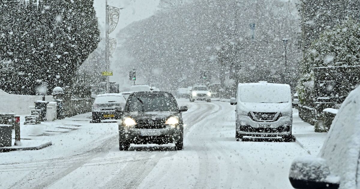
Brutal blizzards are on their way to bury 29 cities across the UK as winter seemingly makes a dramatic U-turn to bone chilling weather. Blizzards spanning 450 miles will sweep vast swathes of the UK in just over a week’s time with some areas forecast to see snow depths reach an eye watering 130cm.
With it now being February many Brits will be hoping the freezing weather will be behind us, however, it looks like the weather has other ideas. WXCHARTS weather maps have turned purple and white indicating that heavy snow is on its way. The latest cold snap is set to make its presence known on Monday February 16.
At midnight millions of people will draw back the curtains and uncover snow. Those in Perth and Kinross are set to be the hardest hit, with the area forecast to see snow depths hit 130cm.
Aberdeenshire will see snow depths reach 35cm and the Scottish Highlands will see snow depths of up to 26cm. The entirety of Scotland will see snow fall.
Elsewhere, in England the North East will be the hardest hit with snow depths to reach 12cm, Cumbria will see slightly less with 11cm forecast.
Durham will see 9cm of snow whilst Yorkshire and the Humber will see up to 8cm. The midlands won’t miss out on seeing snowflakes with up to 2cm likely.
North Wales and parts of mid Wales could see snow depths reach 3cm, Suffolk and Norfolk will see 2cm.
The snow will fall as far south as Kent with 1cm. The mercury is also sent to plunge dramatically, parts of the Scottish Highlands as well as Perth and Kinross with shivers under -4C.
It will be around -2C in Central Scotland, temperatures will drop to around 0C in both the North West and the North East.
Wales, the South West and South East will see the mercury hover between 1C-2C.