
Chilly weather could be on the way
Adam Toms and William Telford Senior Reporter and Business Specialist
07:21, 08 Feb 2026Updated 07:23, 08 Feb 2026
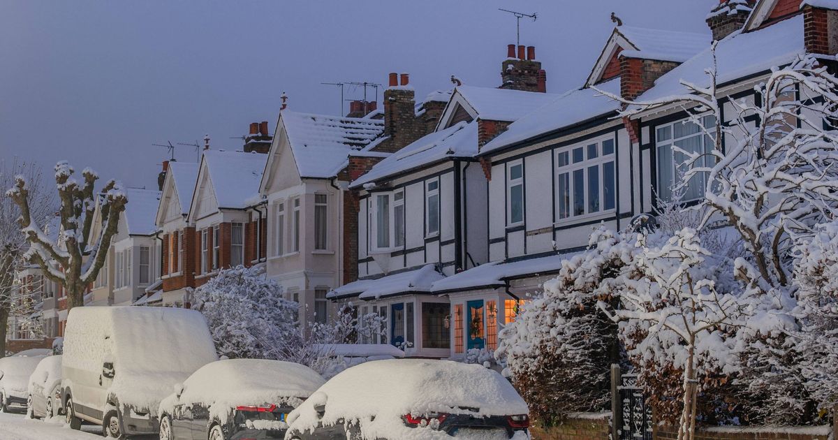
Maps suggest parts of the UK are set for snow(Image: Getty)
Snow maps are indicating that Cornwall could be in for a covering of the white stuff.
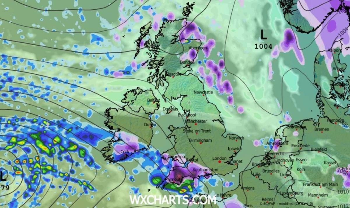
WXCharts forecasts that these conditions will hit the south west of England at midnight on February 15, before moving eastwards towards the south coast, London and the Midlands by 6pm on the same day.
The charts also suggest that South Wales can expect snowfall.
The map’s colour coding suggests that snow depths could reach up to 10cm. In a separate forecast, the Met Office predicts “predominantly cyclonic patterns” across Britain from February 11 to March 5.
Experts said: “The early part of this period could see colder conditions becoming established more widely for a time, bringing with it the likelihood of some snow.
“Milder and wetter weather may however hang on in the far south,” reports the Express.
“By the end of this period, the track of Atlantic depressions may shift a little further north than during the last few weeks.”
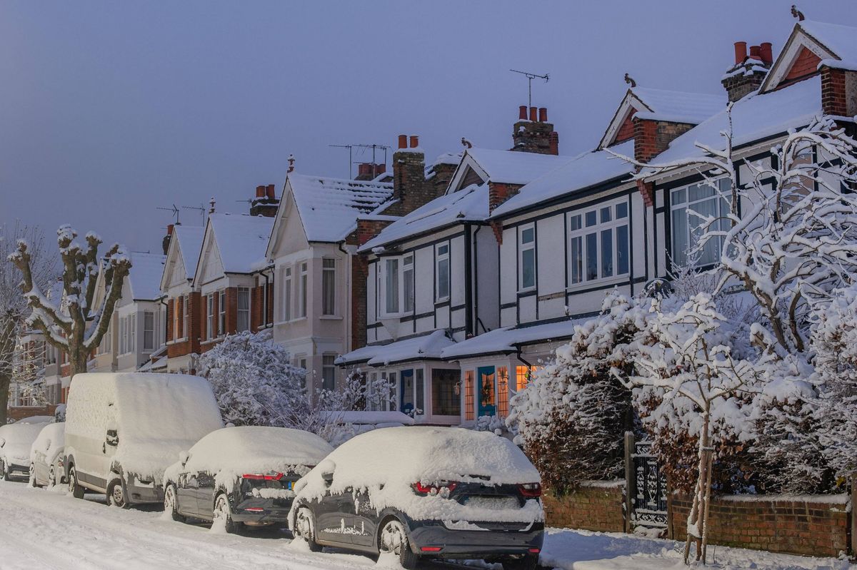
The south west will be hit by snow, charts suggest(Image: WXCharts)
This shift is expected to result in “broadly unsettled weather”, experts note, with “further spells of rain and perhaps strong winds at times”.
“Many parts may become somewhat milder, given more of a westerly influence, though there remains the chance that colder conditions could linger towards the northeast,” the Met Office adds.
When predicting snowfall, Met Office meteorologists examine three crucial factors: the origin of the air mass, the intensity of precipitation and the interaction between warm and cold air.
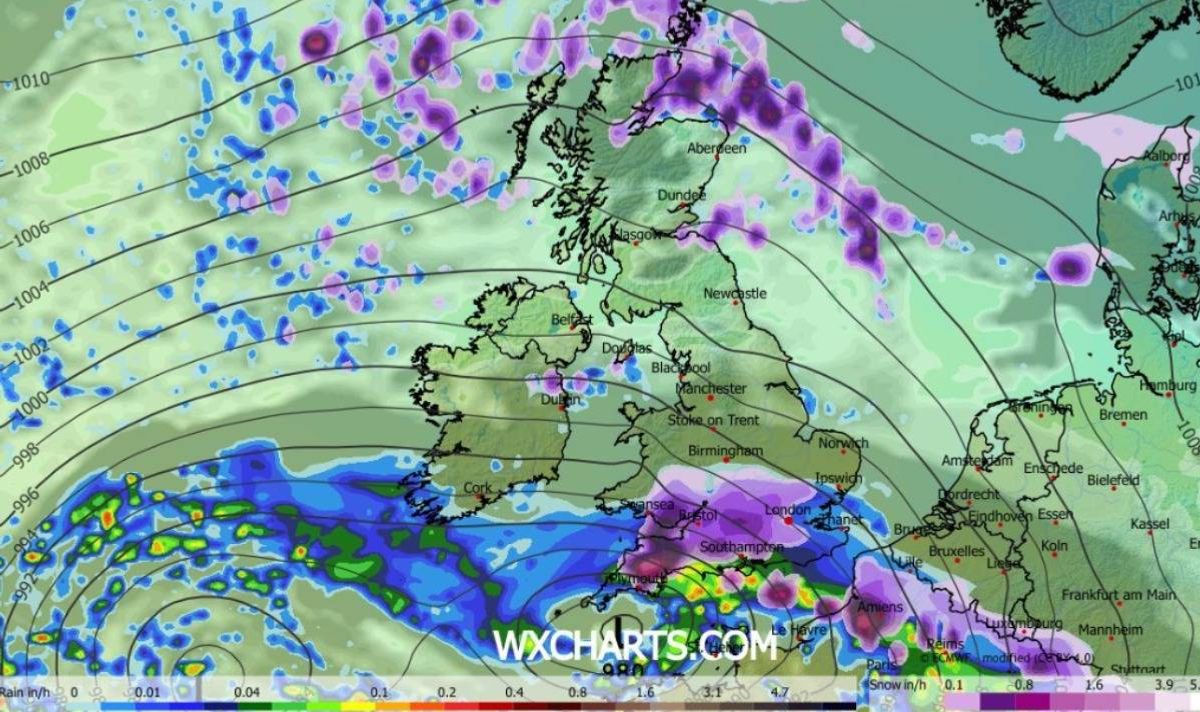
The snow will move eastwards, maps suggest(Image: WXCharts)
Experts explain: “If air has come from a warmer area, or has spent a long time over mild water, then it would be harder to generate snow.
“If it’s coming from a cold region, often the north, then there’s a chance of snow being a possibility.”
Weather specialists point out that the majority of precipitation begins as snow or “supercooled” raindrops within clouds, though this typically melts en route to the surface.
“However, in winter, intense precipitation can keep temperatures lower closer to the ground, increasing the chance of heavy rainfall turning into snow,” according to the Met Office.