
Lake-effect snow gradually cuts off
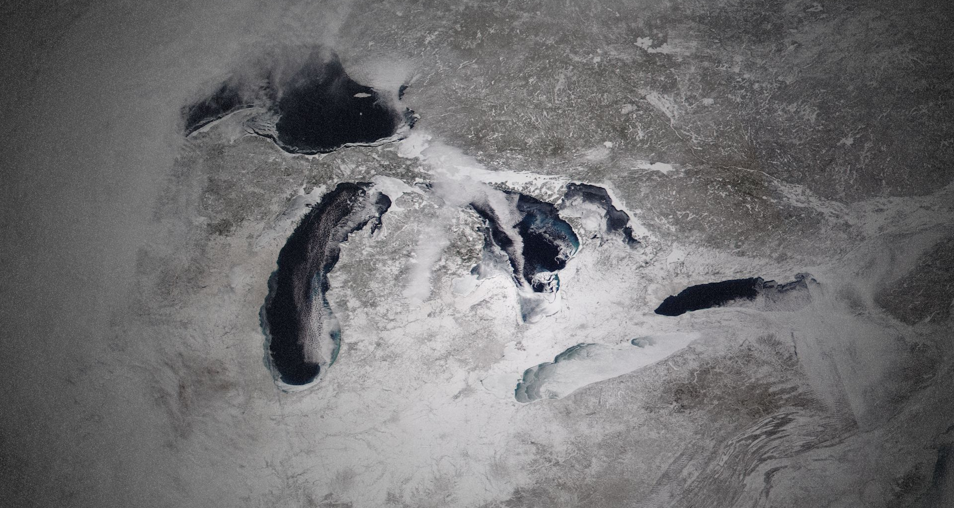
A healthy buildup of ice cover on the Great Lakes will finally begin shutting off lake-effect snow across the region.
RELATED: Buried: Ontario city on ‘high alert’ after 300 cm of snow
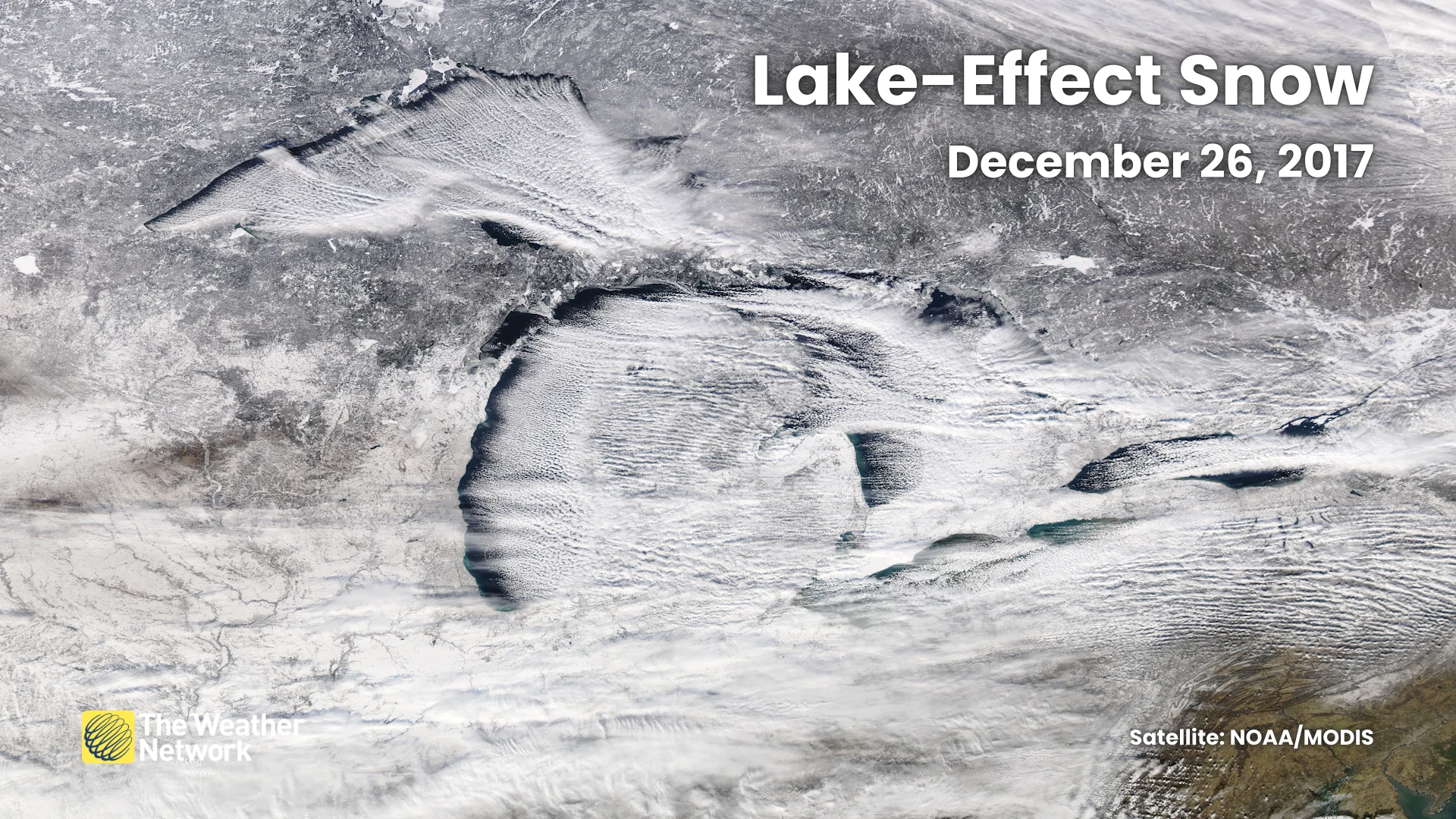
Lake-effect snow forms when cold winds blow over the relatively warm waters. Convection forms due to the sharp vertical temperature contrast, and these bands of precipitation can blow ashore in wicked bouts of intense snowfall.
A crust of ice over the water takes away that fuel source, cutting off the region’s ability to produce lake-effect snowfall. This doesn’t mean that lake-effect snow season is totally over yet, but increasing ice coverage will decrease the intensity in many locations.
Lakes lose their moderating abilities
On the flip side, southwestern Ontario and the Greater Toronto Area begin to lose some protection from winter’s bitter chill once the lakes are covered.
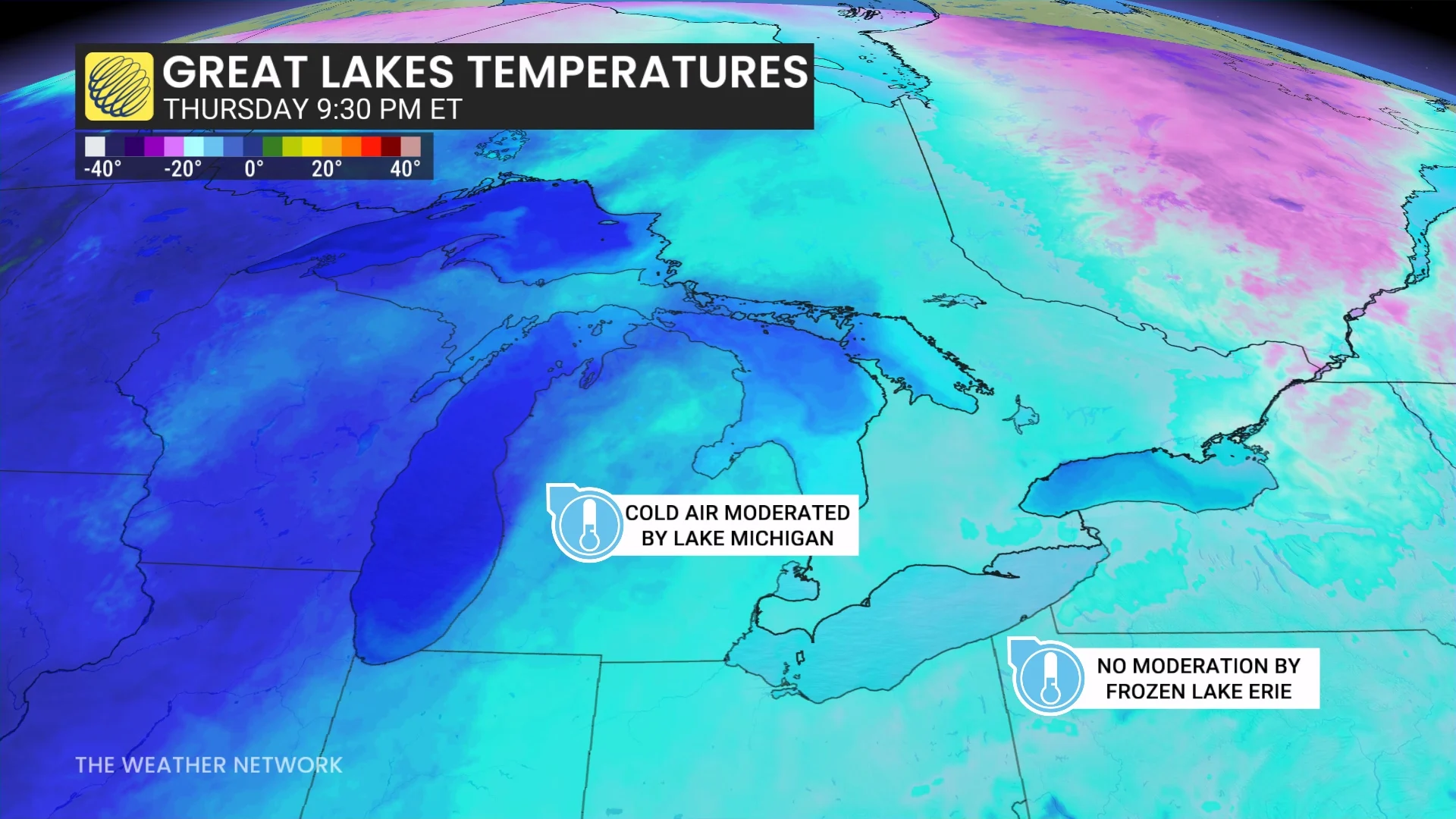
While lake-effect snow finally shuts off, the loss of open waters also shuts off the region’s ability to moderate frigid temperatures rolling in from the Prairies and Northern Canada.
This can result in even colder temperatures for places like Toronto, London, and Windsor during late-season cold snaps.