
Published on Feb. 8, 2026, 9:33 PM
Models tracked the region’s bitterly cold air straight from the top of the world
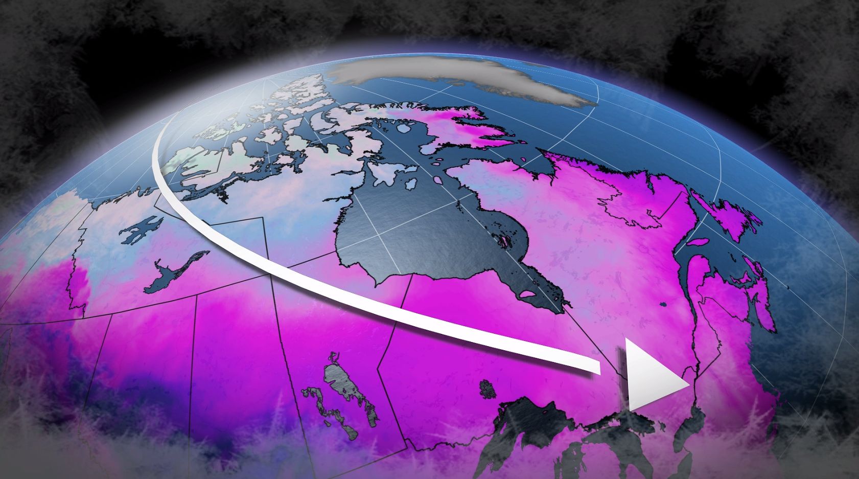
Frigid winds blowing over Ontario this weekend originated directly over the North Pole several days ago.
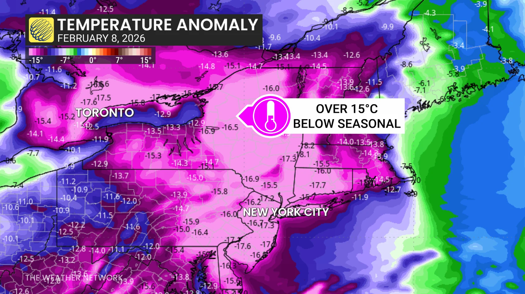
The burst of Arctic air delivered the province some of its coldest temperatures this season. Toronto’s high of -13.3°C on Saturday was the city’s coldest daytime reading since January 2019.
We can trace the source of this cold air straight from the highest latitudes.
DON’T MISS: The Great Lakes freezing over is good news for Ontario
The prevailing pattern across Canada during the past couple of days has seen a sharp temperature contrast between west and east.
While folks in Western Canada experienced above-seasonal temperatures, a trough digging over Eastern Canada allowed northerly winds to blow across the region.
Air that sat directly over the frosty North Pole just a few days ago blew all the way into southern Ontario this weekend. If you’ve stepped outside and taken a deep breath of that bitingly cold air, you’ve breathed in air that was recently at the top of the world.