
>> Updated forecast as of Tuesday morning
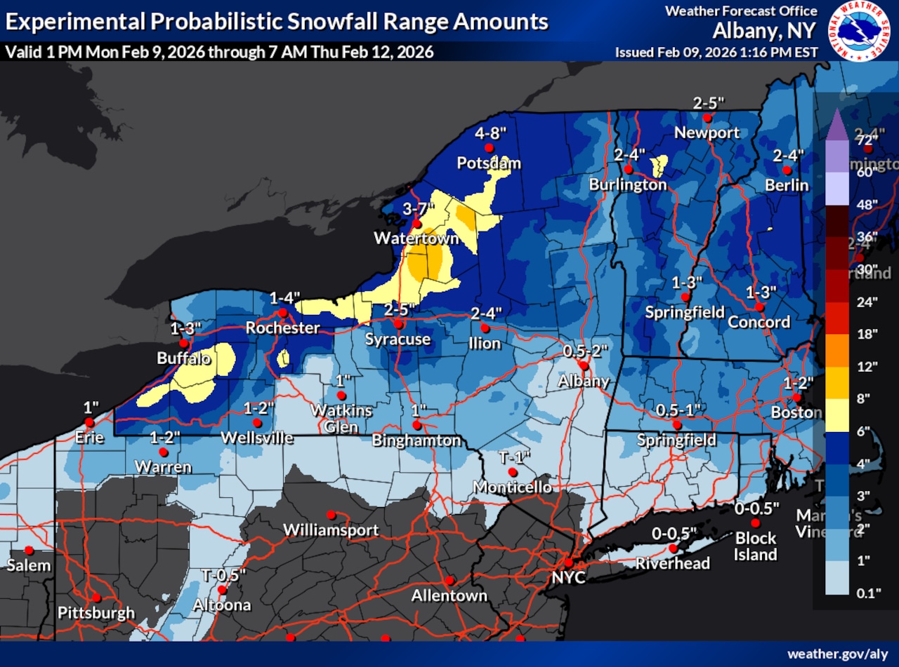
A winter weather advisory has been issued for up to 6 inches of snow in the Syracuse area.
The advisory is in effect until 1 a.m. Thursday for Onondaga, Madison and Oneida counties. Snow accumulations are expected to reach between 3 and 6 inches with locally higher amounts, according to the National Weather Service in Binghamton.
>> Lake Ontario region expected to get 6-11 inches of snow
The advisory warns of slippery road conditions that could impact the Tuesday evening and Wednesday morning commutes.
A clipper system will bring a quick round of snow Tuesday morning and early afternoon with light accumulations. Temperatures are expected to rise into the lower and mid-30s, and the snow may taper off as mixed precipitation or patchy freezing drizzle during a brief afternoon lull, which could result in a light glaze of ice.
Following the cold frontal passage, the bulk of snow accumulation is expected to come from lake effect snow showers Tuesday night into Wednesday. North to northwest flow behind the clipper Tuesday night through Thursday should bring more clouds and snow showers off Lake Ontario and possibly the Finger Lakes.
Tuesday’s warmup will be short-lived, with temperatures generally in the teens and 20s behind the clipper. Gusty winds are also possible during this timeframe.
Another system may track toward the region Sunday from the south or Ohio Valley, bringing increased precipitation chances, though it’s too soon to determine whether it will be rain or snow.