
A special weather statement issued for Toronto has ended.
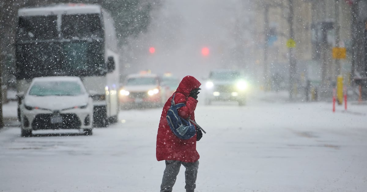
A system moved through the Greater Toronto Area and brought brief periods of heavy snow on Friday evening.
While the snow has ended, Environment Canada says there is a risk of freezing drizzle overnight. Friday got off to a bitter start with wind chill values approaching -20 this morning. The city got to a high of -1 C.
Torontonians will then get a bit of a break from the frigid conditions over the Family Day long weekend, with above-seasonal temperatures expected on all three days.
On Saturday, the daytime high will rise to 2 C, about three degrees warmer than normal for this time of year.
Sunshine and a high of 4 C is expected in Toronto on Sunday and on Monday, the mercury is expected to hit 5 C.
While not exactly balmy, the milder weather will be a welcome change to Torontonians who recently experienced one of the longest cold snaps in over a decade.
The cold snap, which started in January and spilled over into February, brought a 23-day stretch of temperatures below the freezing mark. On some days during that period, Toronto saw wind chill values over -30.
The warmer conditions will continue on Tuesday with a high of 5 C in the forecast. The daytime high is expected to hover around the freezing mark on Wednesday and Thursday of next week.
CP24 Meteorologist Bill Coulter said next Friday will see more active weather with the potential for another snowstorm.