

Snow is set to fall again overnight the Met Office says (Image: Getty)
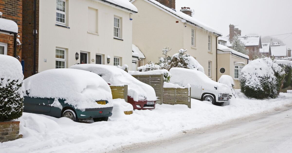
Snow has fallen across many parts of the UK this week and more is expected overnight into Sunday according to the latest snow warnings issued by the Met Office.
Yorkshire, Cumbria and other parts of England have all had snow this week, leading to the closure of a major A-road on Friday and now the Met Office has issued a new yellow weather warning for snow from 9pm on Saturday lasting until 10am on Sunday for several areas of the UK and the forecaster says snow is more likely than rain overnight tonight.
The forecaster warned that heavy snow may cause disruption to travel as well as longer journey times on bus and train services.
Met Office Chief Forecaster, Rebekah Hicks, said: “Snow is likely ahead of the rain across northern England and Scotland and could reach lower levels at times Saturday night into Sunday. The snow will gradually turn to rain as the front moves east across the country on Sunday.
“The rain may be heavy at times and it will be windy in coastal areas. Additional warnings may be required. We encourage the public to keep up to date with the latest forecasts and any warnings that may be issued.”
READ MORE: Met Office says stockpile blankets and clothes as heavy snow returns
READ MORE: Met Office warns 56 UK areas facing heavy snow on Sunday – full list
The Met Office’s warning says: “Snow, heavy at times, may cause some disruption to travel, especially over high ground during Saturday night and Sunday morning.
“Outbreaks of rain spreading eastwards on Saturday night will fall as snow initially, even to low levels for a time, before becoming confined to higher ground as milder air arrives from the west. Temporary snow accumulations of 1-3cm will be possible at low levels, with 3-7cm possible above about 150m elevation, and perhaps 10-15cm above 400 metres.
“Areas sheltered to the north of high ground may see very little snow. Ice will be an additional hazard, particularly across northeast England and parts of Scotland where precipitation has the potential to fall on frozen ground leading to very slippery conditions.
“Snow will turn increasingly to rain into Sunday morning, perhaps as a short spell of freezing rain in places, before eventually clearing to the east with a steady thaw of lying snow then setting in.”
It added in its advice on dealing with snow: “Keep yourself and your family safe when it is icy. Plan to leave the house at least five minutes earlier than normal. Not needing to rush, reduces your risk of accidents, slips, and falls.
“If you need to make a journey on foot, try to use pavements along main roads which are likely to be less slippery. Similarly, if cycling, try and stick to main roads which are more likely to have been treated.
“Snowy, wintry weather can cause delays and make driving conditions dangerous. Keep yourself and others safe by planning your route, giving yourself extra time for your journey. Check for road closures or delays to public transport and amend plans if necessary.
“Give yourself the best chance of avoiding delays by checking road conditions if driving, or bus and train timetables, amending your travel plans if necessary.
“Be prepared for weather warnings to change: when a weather warning is issued, the Met Office recommends staying up to date with the weather forecast in your area.”
The list of 27 areas of England expecting to see snow overnight on Saturday into Sunday, according to the Met Office are:
DerbyDerbyshireNottinghamNottinghamshireDarlingtonDurhamGatesheadHartlepoolMiddlesbroughNewcastle upon TyneNorth TynesideNorthumberlandRedcar and ClevelandSouth TynesideStockton-on-TeesSunderlandBlackburn with DarwenCheshire EastCumbriaGreater ManchesterLancashireStaffordshireStoke-on-TrentEast Riding of YorkshireNorth YorkshireSouth YorkshireWest Yorkshire