
Behind my satellite search for aircraft carrier USS Abraham Lincolnpublished at 14:46 GMT
14:46 GMT
Barbara Metzler
BBC Verify senior data scientist
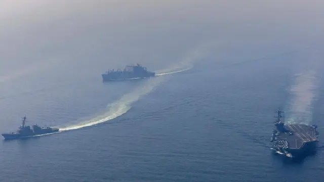 Image source, US Department of Defense via ReutersImage caption,
The US Navy released an image of the Lincoln carrier strike group in the Arabian Sea on 6 February
I have been trying to pin down the location of the aircraft carrier USS Abraham Lincoln ever since the US Navy announced three weeks ago that it had entered the Gulf region.
It sounds simple but it isn’t.
Satellites can only take brief snapshots when they happen to fly overhead and the carrier can be hundreds of kilometres from the coast, where imagery is captured less frequently than over land.
We did get hints from elsewhere. On 26 January, flight-tracking websites picked up a US V-22 Osprey, external aircraft off the coast of Oman, suggesting a carrier might be operating nearby.
But even with those hints, I was still scanning through huge stretches of ocean pixel-by-pixel, which can can take hours.
We use an artificial intelligence tool to narrow it down by flagging ship-like shapes in satellite images. I then verify everything the tool flags myself, hunting for the carrier’s distinctive outline.
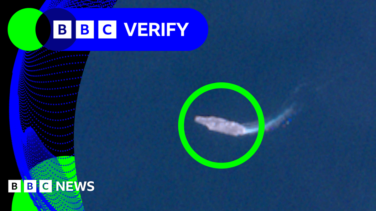
Today, after days of searching, we finally spotted USS Abraham Lincoln roughly 240km (150 miles) off the coast of Oman.