
(VOCM News)
As if we haven’t had enough of them this winter, Mother Nature is preparing to drop another hit to the island.
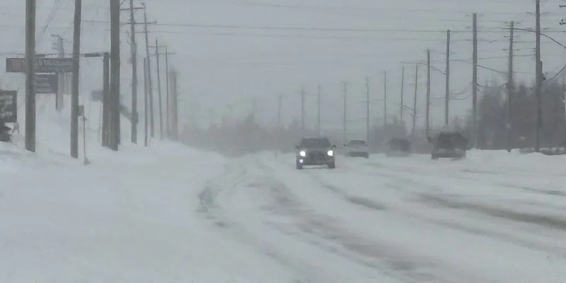
Environment Canada has issued an alert about a storm moving into eastern Newfoundland.
The snow will fall over about a 24-hour period – Tuesday night through Wednesday night. A total of 15-25 cm is on the way, but combine that with northeasterlies 60-80 km/h and conditions will, at times, be blizzard-like.
The target zone will be the Avalon Peninsula, Clarenville-Bonavista, and Terra Nova is expected to have lesser amounts of snow in the adjacent areas.
Environment Canada meteorologist David Neil says with the snow tracking slightly off-shore, it’ll bring uncertainty in how much the island will get.
Another 1 cm of snow last night in #GanderWest, bringing our season-to-date total to the 400 cm mark.
On avg we see another ~180 cm after mid-February, so unless there’s a dramatic shift, we should have no trouble exceeding the seasonal normal of 443 cm. May happen soon! #nlwx pic.twitter.com/pZ2ZaRJLV0
— Rodney Barney (@rcbstormpost) February 16, 2026
(“Right now we’ve got a special weather statement out for much of eastern Newfoundland, mainly Avalon Peninsula and through Bonavista and Trinity Bay areas. So we’re expecting the likelihood of seeing snowfall totals in the 15 to 25 centimeter range. Some areas could see a bit more than that,” he told VOCM News.
“Right now a lot of the uncertainty is with the higher end of the amounts, but also really how far west we can expect some of these heavier amounts to go across the island.”)
Neil says the snow will be heavy, and could be mixed rain at times in some areas.