
The Met Office has said that with cold air in position over the UK, further winter hazards are possible on Wednesday.
Low pressure from the west and southwest will bring the possibility of rain, sleet and snow for parts of southern England and Wales, though it’s too early for precise details.
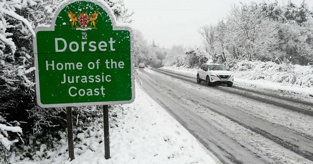
The weather forecaster suggests that there is a 60 per cent chance that low pressure will move across northern France.
This could then lead to up to 15 mm of rain falling in Dorset, with 2cm to 5cm of snow in areas 100m above sea level.
There could also be gusts of wind up to 55 mph in exposed areas.
Should the low pressure move across southern or middle England, then Dorset could expect to see up to 30mm of rain. However, these are considered the less likely of the three options.
Met Office deputy chief forecaster Steven Keates explained the uncertainty: “We’re keeping a close eye on low pressure systems to the west and southwest of the UK on Wednesday.
“This’ll bring moisture towards the cold air in-situ over the UK and brings with it the chance of snow for parts of southern England and possibly the southern half of Wales and the south Midlands.
“Whilst the greatest chance of snow will be over higher ground, there is the possibility of some to lower levels too.
“There is also the chance of further heavy rain affecting parts of southern England, though the extent of both rain and snow will be determined by the track of this area of low pressure. There’ll also be some strong, gusty winds, with warnings likely to be issued in the coming days as forecast confidence increases.”
Dorset has already ready seen lots of rainfall since the beginning of the year and the forecast looks to have yet more rain or snow on the way.
With that, flooding is still expected to be an issue across the county as saturated land and rivers struggle to keep up with the persistent wet weather.