
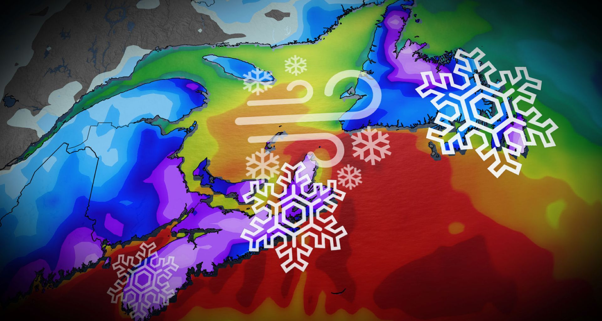
ECCC has already issued special weather statements and yellow-coded winter storm watches for Nova Scotia, P.E.I. and parts of New Brunswick ahead of this storm.
“Snow accumulation may make travel slow or hazardous. Roads and walkways could become slippery and difficult to navigate,” ECCC says in the statement. “Plan ahead in case schools or scheduled activities are cancelled. Make sure snow removal equipment (e.g., shovels or blowers) and supplies are prepared in advance.”
In addition to rapidly accumulating snow, we could see conditions vary between whiteout and full-on blizzard through Monday evening, bringing dangerous travel to the evening commute. As well, due to strong winds, high floodwaters are expected.
DON’T MISS: Car stuck in a snow pile? Proceed with caution
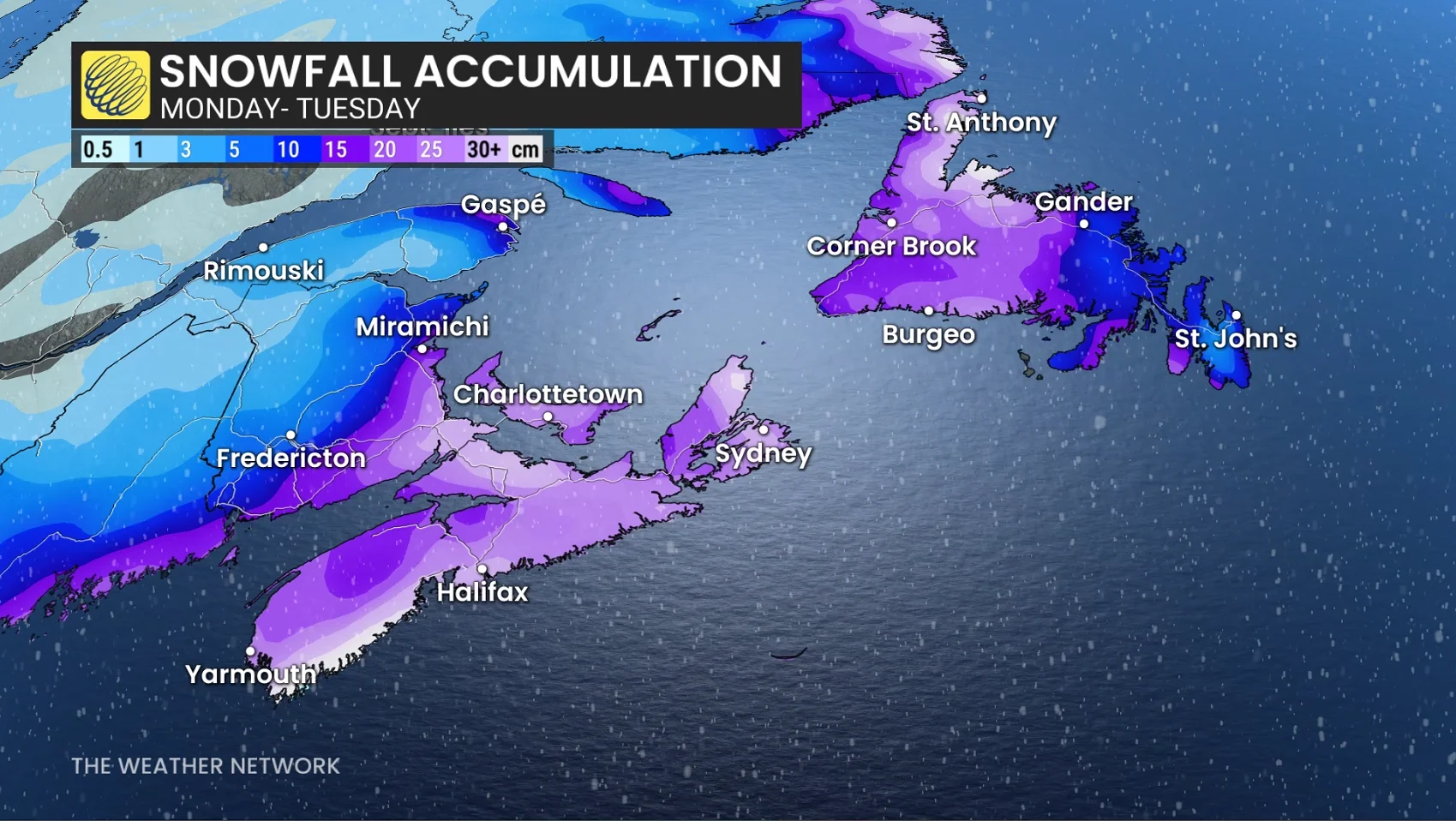
As the storm leaves the Maritimes Tuesday morning, it will track straight across Newfoundland. As the storm continues to bring 15-20 cm of snow and whiteout conditions, folks could see widespread school and bus cancellations Tuesday morning.
The snow is forecast to transition over to rain across the Avalon into Tuesday afternoon, bringing the risk of localized flooding as the rain eats away at the snowpack formed from the recent storms to move through the peninsula.
However, if the storm ends up tracking farther offshore than currently predicted, we could see additional heavy snow over the Avalon rather than the transition to rain. Forecasters will continue to watch for this over the coming days.
Stay with The Weather Network for more information and updates on your forecast across Atlantic Canada.
WATCH: ‘Monday storm’ trend continues for Nova Scotia this week