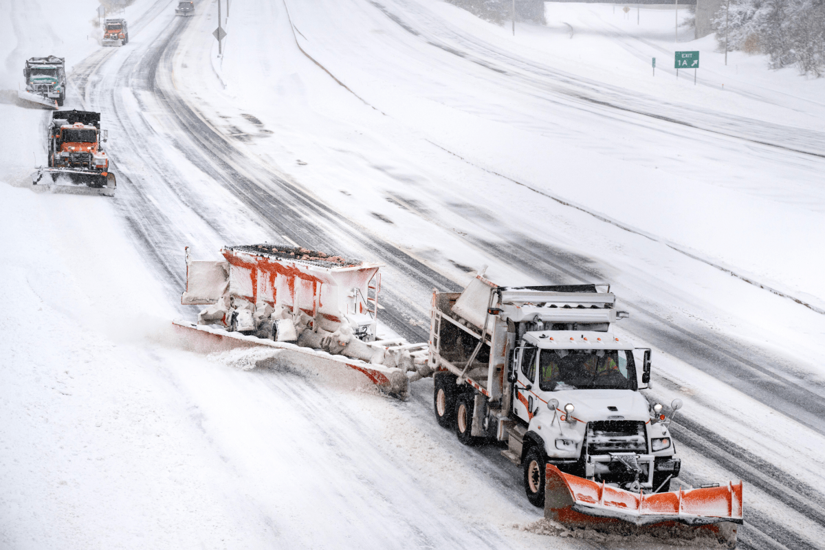
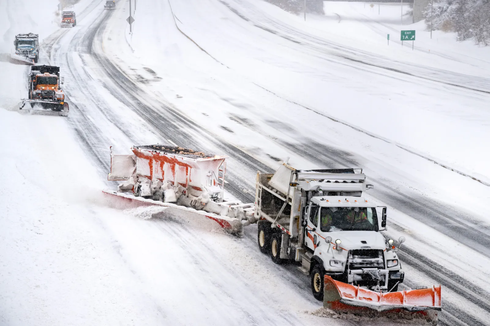
A major winter storm warning in Alaska is forecasting up to a foot of snow, while lighter snow and ice advisories affect parts of the Midwest and New England on Saturday.
The Alaska alert carries the highest risk, with forecasters saying conditions “could be very difficult,” and warning drivers to “be prepared” for a level of disruption that can leave them stranded and delay emergency response in remote areas.
Alaska
The most severe alert was issued for the Eastern Alaska Range south of Trims Camp, where the National Weather Service (NWS) in Fairbanks said heavy snow was expected along parts of the Richardson Highway.
The winter storm warning was issued at 11:21 a.m. Alaska Standard Time (AST) on Friday and remains in effect until 9 p.m. AST on Saturday, according to the NWS.
Forecasters said total snow accumulations of 6 to 12 inches were likely, with wind gusts up to 30 miles per hour. Blowing snow could also significantly reduce visibility.
Elsewhere in Alaska, a series of winter weather advisories highlighted widespread but lower‑end impacts through Saturday evening.
In Juneau, the NWS said 4 to 6 inches of snow were possible through early Sunday morning. That advisory runs from 3 p.m. Saturday to 4 a.m. Sunday, and includes wind gusts as high as 50 mph, which could bring down tree branches.
Yakutat is also under a winter weather advisory until 6 p.m. Saturday, with 4 to 6 inches of snow expected and the heaviest snowfall rates forecast for Saturday morning.
Across southcentral Alaska, including Anchorage, Eagle River and the Matanuska Valley, advisories issued Friday night called for an additional 1 to 3 inches of snow through early Saturday, with forecasters again warning that travel could be difficult.
Several interior and western Alaska advisories extend through Saturday evening, with blowing snow and wind gusts of up to 40 to 50 mph cited as the primary hazards in coastal and rural areas, including parts of the Western Arctic Coast and Norton Sound region.
In New England, the main concern was ice rather than heavy snow.
The NWS offices in Gray and Caribou said freezing drizzle and freezing rain could create slick travel conditions Saturday morning across parts of Maine and central to northern New Hampshire.
Ice accumulations were expected to remain under one‑tenth of an inch, but forecasters warned untreated roads, sidewalks and stairs could become hazardous.
Most of those advisories were scheduled to expire by mid‑ to late morning Saturday.
“Be prepared for slippery roads. Slow down and use caution while traveling,” the NWS said.
Midwest
In the Midwest, advisories focused on lighter accumulations but timed impacts around the morning commute.
In Minnesota, the NWS in Twin Cities/Chanhassen said light snow—possibly mixed with freezing rain—was moving east across southern and eastern parts of the state early Saturday.
The advisory remains in effect until 9 a.m. Central time (CT), with up to 1 inch of additional snow expected and slick road conditions likely.
In Iowa, the NWS in Des Moines issued a winter weather advisory for freezing rain in north‑central and northwest counties until 9 a.m. CT.
Forecasters said additional ice would amount to a light glaze, particularly affecting bridges and other elevated surfaces.

In a polarized era, the center is dismissed as bland. At Newsweek, ours is different: The Courageous Center—it’s not “both sides,” it’s sharp, challenging and alive with ideas. We follow facts, not factions. If that sounds like the kind of journalism you want to see thrive, we need you.
When you become a Newsweek Member, you support a mission to keep the center strong and vibrant. Members enjoy: Ad-free browsing, exclusive content and editor conversations. Help keep the center courageous. Join today.