
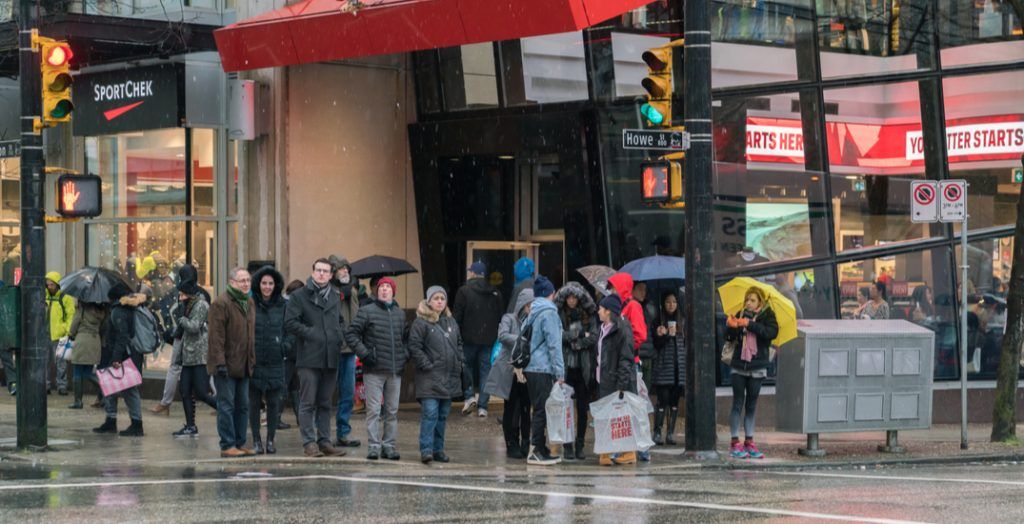
Enjoy the clear skies over Metro Vancouver while you can, because the region is in for a very wet week ahead due to an atmospheric river, and it could even bring more snow.
Environment and Climate Change Canada (ECCC) issued a special weather statement on Friday, March 13, for a “prolonged atmospheric river event.”
According to the ECCC, the “atmospheric river will begin to make landfall over the Lower Mainland on Sunday and will remain over the region until Wednesday, bringing heavy rain.”
LeonWang/Shutterstock
“The rain could be mixed with snow on Sunday as the freezing levels will initially lower to near sea level,” stated ECCC in the alert to the public. “But the freezing levels will quickly rise on Sunday night and reach 2500 to 3000 metres on Monday morning. The heaviest rainfall is expected on Monday and Tuesday.
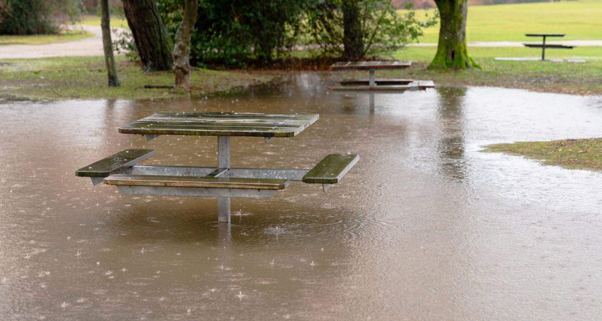
“Although there is still uncertainty regarding rainfall amounts associated with this atmospheric river, total rainfall amounts could exceed 150 mm.”
ECCC is warning of several impacts, including potential for flooding and “very enhanced responses” in river systems due to an extended duration of heavy rain on snow combined with mountain snow melt.
It also said that water pooling on roads and wash-outs may occur, and that there is a higher risk of landslides in the region due to landscape saturation.
ECCC
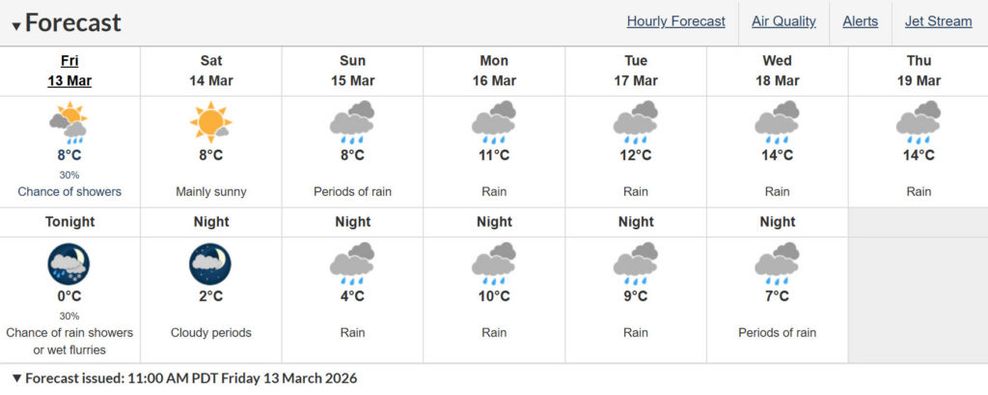
Temperatures will remain in the double digits for much of next week, reaching a daytime high on Wednesday, March 18, of 14°C.
Overnight lows will also stay warm next week, dropping to only 10°C on Monday, March 16. But keep your umbrellas nearby.
If you’re looking for ideas on how to escape the heavy rain this upcoming week, check out our Listed section
We’ve got all the details on fun things to do around Vancouver every week, from comedy shows, food events, concerts, arts and theatre, and more.