
Environment Canada senior climatologist Dave Phillips speaks about the powerful storm hitting northern and central Ontario.
It is going to be a gusty start to the workweek in Toronto and the rest of the Golden Horseshoe.
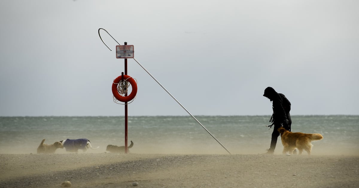
A special weather statement is currently in place for the region, advising of “gusty winds” that could persist through Tuesday morning.
“The onset of the strongest wind gusts are expected to be with the passage of a cold front Monday morning,” Environment Canada said in the weather advisory.
The national weather agency noted that gusts of up to 70 km/h are in the forecast for late Sunday afternoon or evening as easterly winds become southerly.
On Monday, Environment Canada said the region will see winds shift from southwesterly to westerly and gusts of 70 to 90 km/h.
“High winds may toss loose objects or cause tree branches to break. Local utility outages are possible,” the advisory reads.
Winds are expected to ease on Tuesday morning.
Temperature ‘whiplash’
Environment Canada climatologist Dave Phillips said with the winds changing direction from east to south late Sunday, Toronto will see a warm-up.
On Monday, the city could see a daytime high of 12 C with showers in the morning and afternoon.
Phillips said the temperature is expected to drop by noon as the wind direction changes
“This up-and-down kind of crazy weather is continuing,” he said.
“It’s this kind of roller coaster ride that we are on. It’s sometimes we call it whiplash. The weather is different out your front door than your back door. If you don’t like the weather, wait five minutes.”
On Tuesday and Wednesday, high temperatures are expected to remain below freezing.
“And then on Thursday, we are getting back up to 4 C, kind of maple syrup weather where it’s melting during the day and freezing at night,” Phillips said.
Slow start to spring
The spring season officially starts on Friday, but it appears winter-like temperatures will remain a little bit longer.
“The last two weeks are going to be too cool. I mean, you’re not going to like it. And then April is going to start off a little cool, but it’s going to start to warm up,” Phillips said, based on 30 years of record.
He added that there is also a possibility of snow in late March and early April.
“We’re not going to see a rush to spring. It’s going to be a little slow coming,” Phillips said.
Looking ahead to summer, the climatologist indicated that it’ll be warmer than normal.