
After a bitingly cold few days, with temperatures struggling into the low single figures by day and dipping below freezing overnight, the UK’s weather is about to shift dramatically with daytime highs soaring by more than ten degrees in some areas.
Coupled with warm, spring sunshine and a light breeze, this is the good news that we all really need at the moment!
Why is the weather turning warmer and sunnier?The main reason is high pressure building across the UK.Over the last few days, Atlantic frontal systems have swept in across the UK from the west, bringing spells of rain and heavy, blustery showers, while a cold westerly wind has dragged in a bitter airmass which has dragged daytime temperatures down and given northern areas a return of the wintry conditions.
A dominant area of high pressure builds in across the UK from the east throughout Tuesday, holding back the advance of those rain-bearing frontal systems while a shift in wind direction to the east/south-east drags in much milder air from the near continent. There should be plenty of sunshine, too.
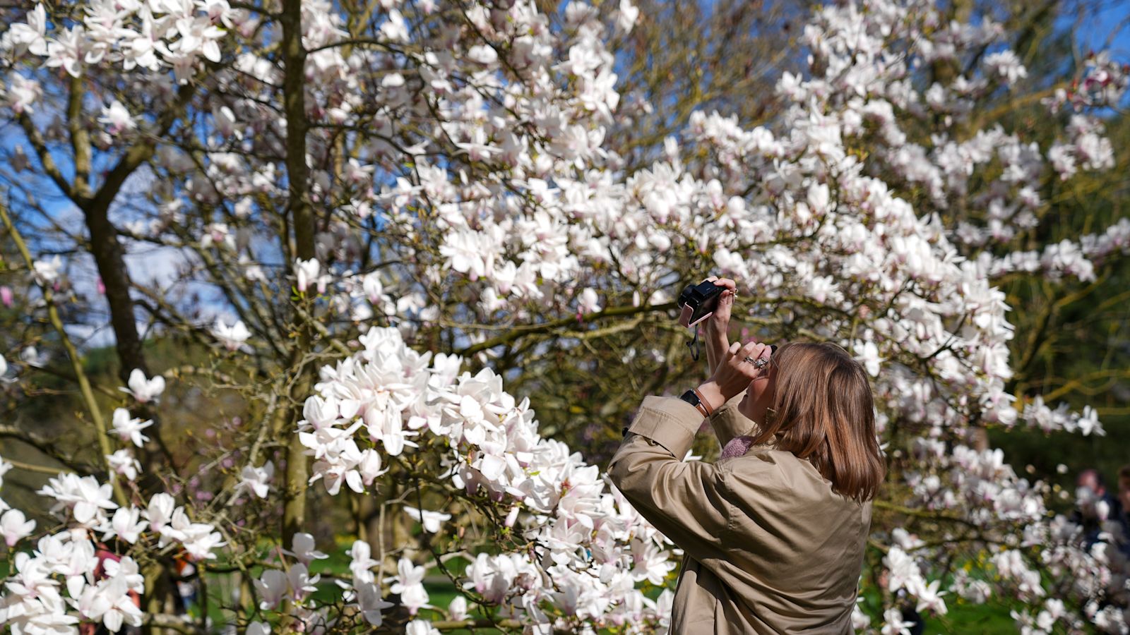
People can look forward to warmer weather as Spring rolls in. Credit: PA
Why does high pressure bring more settled weather?Under high-pressure air slowly sinks rather than rises.
That sinking air suppresses cloud formation, allowing more sunshine to develop. (Having said that, there are occasions where cloud gets ‘trapped’ under high pressure, which gives a settled but rather cloudy and stagnant period of weather – but we’re not expecting this week to be one of those occasions).
So with more sunshine and a warmer airmass, forecasters expect a dramatic rise in temperatures. It’s the opposite of low pressure, where rising air encourages clouds, showers, and stronger winds. It’s the opposite of low pressure, where rising air encourages clouds, showers, and stronger winds.
How warm could it actually get?Temperatures are expected to climb steadily through the week. The Met Office suggests many places could reach the mid to high teens, and if sunshine is prolonged, some areas could even approach around 18–20°C, which would give many areas their warmest day of the year so far. Values like this are well above the UK average for early spring, and in sunny, sheltered spots, it could feel even warmer.
Where will we see the best sunshine?The bulk of the UK should see some lovely weather from the middle of next week, with the best sunshine expected to be across southern and eastern parts of the UK, where skies are most likely to stay clear.
Western areas could still see a little more cloud at times, particularly if Atlantic weather systems brush the edge of the high-pressure system, but even with a little more cloud here, some very pleasant days lie ahead.
Subscribe free to our weekly newsletter for exclusive and original coverage from ITV News. Direct to your inbox every Friday morning.
How long will the warmer spell last?After a chilly and unsettled start to the week, high pressure should start to build in from the east throughout Tuesday, with the decent conditions expected to spread to much of the UK through midweek, lasting at least until the end of the week. Some indications actually suggest that area of high pressure will dominate for the rest of the month, but it’s too early to give much detail yet.
Is that it for cold weather now?No – early spring can still bring sharp swings in temperature, so cooler spells aren’t completely out of the question yet, although cold snaps generally become less frequent as we move further into the season. With longer daylight hours and stronger sunshine at this time of year, temperatures can rise surprisingly quickly when skies are clear.
For now though, during times that can feel like good news is in short supply, we can all look forward to some beautiful weather that will both warm the ground and raise the spirits!
From Westminster to Washington DC – our political experts are across all the latest key talking points. Listen to the latest episode below…