
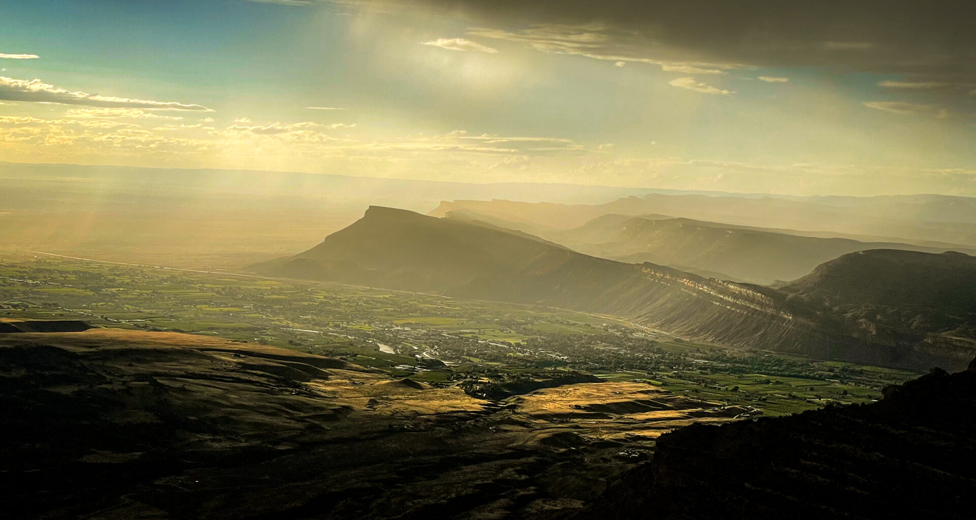
As Coloradans grapple with a record low snowpack heading into summer, the super El Niño and strong monsoon season in the forecast could provide some late summer relief.
Colorado’s weather is impacted by everything from temperature changes in the Pacific Ocean to pressure patterns over Texas — not to mention rising temperatures around the globe. This year’s La Niña conditions, created by cooler water temperatures in the Pacific, should have brought snow to Colorado’s northern mountains. Instead, the state ended the winter a month early with record hot days and a rapid snowmelt, prompting drought restrictions and water cutbacks around Colorado.
As of last week, the La Niña is over and the odds are increasingly good for a super El Niño later in 2026 — a climate pattern that has historically brought wetter winter conditions to Colorado, according to the National Weather Service.
It’s a tentative dose of hope for residents looking for a reprieve from record-breaking dry conditions, said Russ Schumacher, Colorado state climatologist and a professor at Colorado State University.
“Things are probably going to get worse before they get better,” Schumacher said. “I don’t think we’re going to be stuck in just dry, dry, dry for many, many more months to come. I think there is some reason for optimism.”
A lot of Colorado’s bad drought years have come during La Niña conditions, and Colorado has had multiple La Niña years in a row. Colorado should be rooting for La Niña to go away at this point, he said.
“It doesn’t guarantee that things are going to improve in the near term,” Schumacher added, “but we have a better chance of it if La Niña is in the rearview mirror.”
What are El Niño and La Niña?
El Niño and La Niña are opposing climate patterns in the Pacific Ocean that can affect weather worldwide. Together, they’re called the El Niño-Southern Oscillation cycle, ENSO for short.
The patterns vary based on water temperatures in the central and eastern Pacific Ocean that are influenced by winds circling the Earth near the equator, called trade winds because of their use in early sail-dependent commerce.
Meteorologists watch a specific region in the Pacific near the equator to determine whether the water temperature is warmer or cooler than normal, said Erin Walter, a service hydrologist for the National Weather Service in Grand Junction.
If the region’s water temperature is more than 0.5 degrees Celsius warmer than usual, then scientists call it an El Niño.
If the temperature is more than 0.5 degrees Celsius cooler than usual, it is a La Niña.
“They’re basically like opposite waves,” Walter said. “They ebb and flow together. And they’re more irregular than one would think.”
The warmer or cooler temperatures need to last for months before scientists will shift the classification from neutral into El Niño or La Niño territory. The climate patterns typically last nine to 12 months, but can sometimes last for years.
El Niño and La Niña events occur every two to seven years, on average, but they don’t occur on a regular schedule. Generally, El Niño occurs more frequently than La Niña, according to the National Oceanic and Atmospheric Administration.
Fun fact: The names for the two climate patterns can be traced back to observant South American fishermen in the 1600s, NOAA says.
The fishermen first noticed periods of unusually warm weather in the Pacific Ocean and called the resulting patterns El Niño de Navidad, the Christmas Child or the Christ Child in English, because El Niño typically peaks around December.
La Niña means Little Girl in Spanish. La Niña is also sometimes called El Viejo, anti-El Niño, or simply “a cold event,” according to NOAA.
How do ENSO cycles impact Colorado and the world?
The temperature fluctuations in the Pacific Ocean impact how and where jet streams, narrow bands of strong wind, flow in the atmosphere. Those jet streams impact which regions of the world have a dry spell, and which ones are hit with storms.
The ENSO events can lead to flooding, heavy rains, landslides and drought. They change where fish can find nutrients in the ocean. La Niña can lead to a more severe hurricane season, according to NOAA.
In the United States during El Niño conditions, a subtropical jet stream moves across southern states, like California, Texas and Florida, making them cooler and wetter than usual. Northern states tend to be warmer and drier than average, Schumacher said.
During La Niña, the jet stream comes out of the Northwest across the western United States. The Pacific Northwest and Midwest are cooler and wetter than average, while the Southwest is warmer and drier than average.
Colorado sits in the middle, which makes it harder to define clear impacts of ENSO events and to separate them from other common climate variations around the Rocky Mountains, Schumacher said.
Typically, El Niño tends to bring wetter-than-average conditions, particularly to southern Colorado and in the fall and spring. (This year, that would mean fall 2026 and spring 2027.)
During La Niña, the conditions flip. Colorado’s northern mountains often receive more snow while southern portions of the state are warmer and drier.
That doesn’t always happen: This winter is an example of La Niña conditions that did not drop very much snow on the northern part of the state — or anywhere.
Which team should Coloradans be on? Definitely El Niño, Schumacher said.
“It tilts the odds towards things being wetter,” he said.
A “super” El Niño in the forecast
This year, the region’s water temperature is more than 2 degrees Celsius warmer than usual for multiple months — prompting climate scientists to dub it a super El Niño.
They expect neutral conditions between April and June. After that, conditions could stay neutral or transition into a strong El Niño, according to the National Weather Service’s Climate Prediction Center. Seeing El Niño conditions is likely, but whether they appear will depend on wind patterns over the Pacific Ocean.
For anyone looking for rain and snow in Colorado, this is a reason for optimism later in the summer and for the coming winter, Schumacher said.
In 1997, the last really strong El Niño brought moisture to most of Colorado in the summer and fall. There were floods along the Front Range and Eastern Plains.
But just because that’s what happened one other time doesn’t mean Colorado will see the same conditions again.
“It would be speculation to read too much into that,” Schumacher said.
So what exactly would a super El Niño mean for Colorado?
“The short answer is, we don’t really know,” he said.
Climate and weather researchers only have a few similar years in history to analyze, and that’s not enough data to identify clear trends with high certainty. There have been only five strong El Niños since 1950, with the last taking place from 2015 to 2016.
“In terms of what that’s going to mean for how the jet stream responds to that, and then in turn, what kind of precipitation we get in Colorado?” Schumacher said. “I think it’s too early to say.”
The non-Niño weather event you should be watching
There is one other weather phenomenon that will come into play this summer: monsoons.
“The outlooks are pointing towards the active monsoon season this summer, and so that’s probably the thing to keep a closer eye on in the near term,” he said.
Monsoons are different from ENSO patterns. El Niño conditions are stronger in the winter and weaker in the summer and have global impacts.
Monsoons are local seasonal circulations that develop every summer in the Southwest. They arise when shifting wind patterns bring moisture from the eastern Pacific and the Gulf of California into the Southwest.
Active monsoon seasons can provide a large fraction of the annual precipitation to lower elevations in parts of the state, like western and southeastern Colorado. This year’s forecast indicates monsoons are likely for July, August and September, Schumacher said.
These active seasons bring afternoon thunderstorms every day and flash floods in Colorado’s canyons. They can help reduce some of the risks of a historic drought year, like wildfire risks later in the summer.
“As with any seasonal forecasting, it’s uncertain,” Schumacher said. “Four months out it’s hard to put really high probabilities on anything.”
What do monsoons mean for Colorado’s water supply?
An active monsoon season will offer some relief, but it will not refill Colorado’s reservoirs.
The monsoon storms might bring intense rain over a short amount of time, but in the big picture, they do not provide very much water. The amount of water that normally comes from a big winter snowstorm is much higher than the amount of water in an afternoon storm.
The cloudy and cool weather with rain showers would help reduce the demand for outdoor irrigation for gardens and crops while providing a small boost in the supply, Schumacher said.
“Monsoon rains just aren’t nearly enough to fill up reservoirs or even bring them back up from really low levels,” he said.
Type of Story: News
Based on facts, either observed and verified directly by the reporter, or reported and verified from knowledgeable sources.