
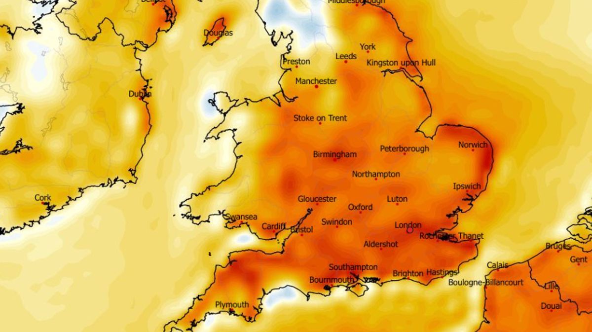
Temperatures could soon rise as high as 24C in the UK as weather forecasting maps suggest a four-day warm spell is on the cards towards the end of this month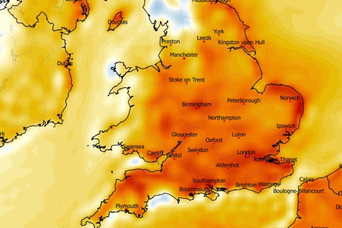
Areas of orange/red show where temperatures are expected to rise above the seasonal average on May 22(Image: WXCharts)
Weather modelling maps suggest temperatures in some parts of the country could soon rise as high as 24C.
The Met Office forecast suggests conditions this week will be miserable for the most part, with temperatures not expected to rise to 20C anywhere in the country from Monday to Friday.
However, the ECMWF weather model shows temperatures could rise again next week in a balmy four-day spell starting on May 21, when highs of 23C are possible in the south-east of England. The mercury could rise to 20C across much of central England, the weather maps suggest.
On May 22, the maps show highs of 24C are on the cards in the south-east including in London. Other southern parts of England could rise to 22C, while 21C is possible in central England.
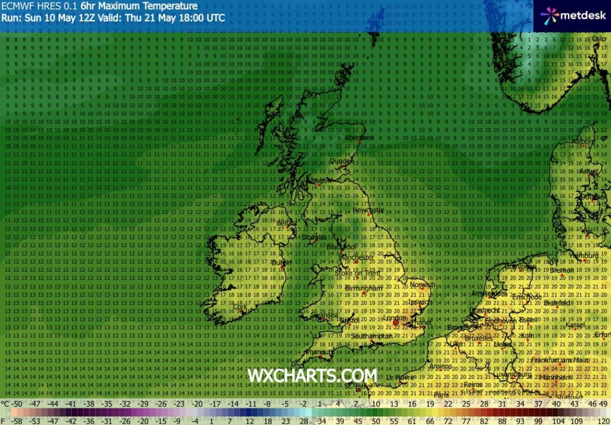
Maximum possible temperatures (C) for May 21(Image: WXCharts)
READ MORE: Met Office forecasts 22C on Saturday as maps show 40 counties face heat – listREAD MORE: UK weather maps show 25C heat surge with 34 counties at 20C or above – full list
May 23 is expected to bring highs of 23C in southern England and 21C in the Midlands. Northern Ireland and Scotland look set to be a few notches cooler than England throughout this period, but there are some areas of Wales – close to the border with England – that could see temperatures rise to around 20C.
The ECMWF model suggests May 24 will be the best day for widespread heat, with 22C and 23C highs possible across a massive swathe of England, from the south coast up to Yorkshire. In total, the maps show 35 counties in England and Wales could see temperatures of 20C or above across the four days.
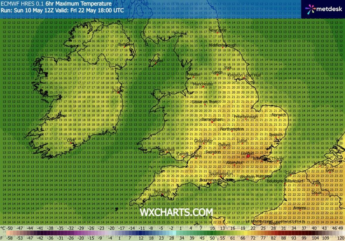
Maximum possible temperatures (C) for May 22(Image: WXCharts)
UK counties facing 20C or aboveEnglandYorkshireLancashireCheshireShropshireStaffordshireNottinghamshireLeicestershireLincolnshireHerefordshireDerbyshireWarwickshireNorthamptonshireNorfolkSuffolkCambridgeshireGloucestershireWorcestershireOxfordshireBuckinghamshireBedfordshireEssexKentHertfordshireSurreyBerkshireHampshireWiltshireDorsetSomesertDevonCornwallWalesFlintshireDenbighshireMontgomeryshireMonmouthshire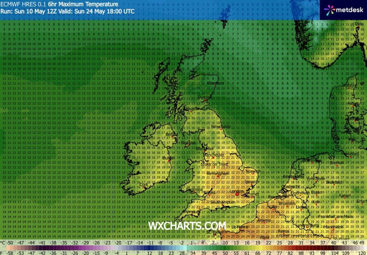
Maximum possible temperatures (C) for May 24(Image: WXCharts)
Met Office forecast for May
The Met Office’s forecast suggests temperatures could turn “rather warm” towards the end of this month. However, we can expect “cooler than average” conditions before then.
The Met Office’s forecast for May 16 to May 25 states: “Changeable and at times rather unsettled conditions look to dominate through the middle part of May, with low pressure often close by.
“This means periods of rain or showers, some of which could be heavy, for many places, though some drier interludes are also expected. Initially temperatures likely cooler than average, but tending to recover, perhaps becoming rather warm by the end of the period as it tends to become more settled, especially in the south.”