
Counties Clare, Kerry and Limerick will come under the warning from 3pm on Wednesday afternoon. The warning will be in place until 9pm on Wednesday.
Impacts during the warning will include localised flooding, lightning damage and difficult travelling conditions.
Temperatures are set to remain high throughout the week and though a heatwave could be on the cards, the rain hasn’t gone away.
Five consecutive days of 25C or higher is considered a heatwave by Met Éireann, and with the warm weather here for the week, an official heatwave is a possibility.
Provisional temperature data from Met Éireann show temperatures hit 22C and above at all weather stations across the country today, even climbing as high as 28C at Oak Park, Co Carlow, this afternoon.
“While it’s looking warm and humid over the next few days, there will be some showery interludes at times,” meteorologist Brandon Creagh said on Met Éireann’s morning forecast.
“Today then, is mostly dry and sunny, some isolated showers with some scattered cloud developing through the afternoon.”
Highest temperatures today will range from 22 to 28C, making today the hottest of the week on the current forecast.
Mild overnight temperatures could bring some difficult nights of sleep, with the mercury falling no lower than 13 to 16C tonight.
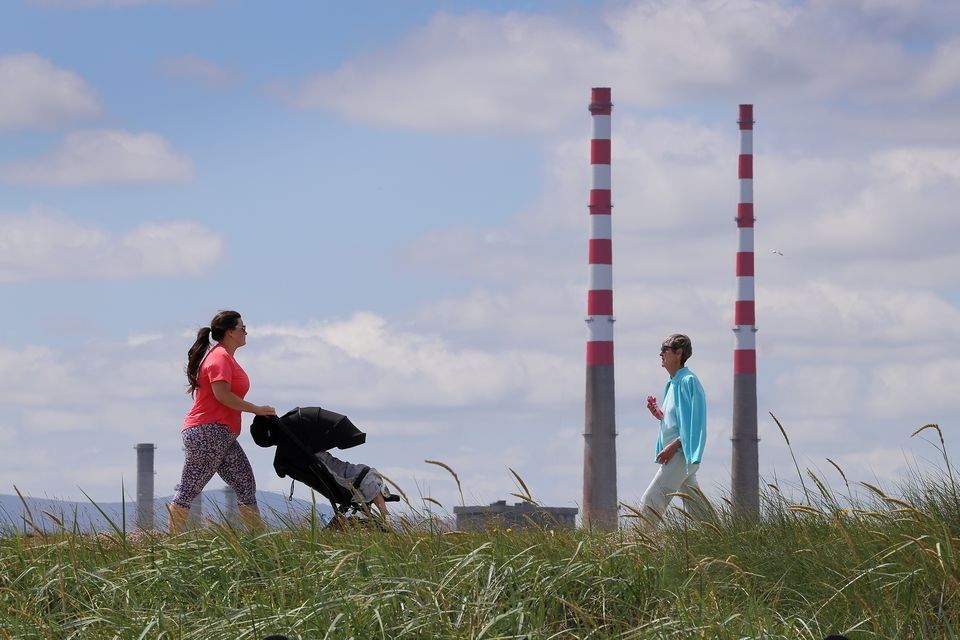
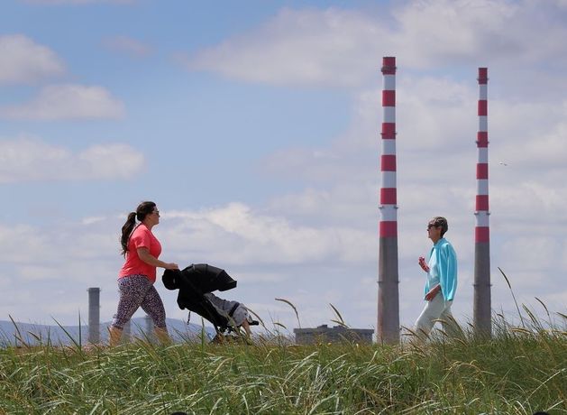
Walkers in the sunshine on the Bull Wall, Clontarf. Photo: Frank McGrath.
7 Day Weather Forecast – 4th August – 15th August
It will be staying warm and humid into tomorrow and it will be sunny at first, but there will be showers later in the day and a possibility of thunderstorms, with highs of 21 to 25C.
Showers will hang on into Wednesday night with lows of 14 to 17C.
Thursday will start off mostly cloudy with some scattered showers, but the fine weather won’t be gone for long as long spells of sunshine are expected from the afternoon and evening, with highs of 21 to 25C.
Winds will die down and it will be mostly dry on Thursday night, with slightly lower temperatures of 10 to 14C.
Met Éireann said conditions will be warm and humid over the coming days as Ireland basks in a high pressure zone drawn up from southern Europe.
While Ireland basks in temperatures of up to 29C, parts of Italy, Spain, Portugal and Greece are sweltering as temperatures climb close to 45C.
It will again be a mix of sun and showers on Friday, though things will clear up later in the day to bring longer spells of sunshine. Highest temperatures will again range from 21 to 25C.
There are good signs for this weekend and Oasis’ return to Irish soil, as Saturday and Sunday are likely to stay “warm and settled” with temperatures in the low to mid-20s.
Councils have warned that traffic controls may be imposed in some popular beach resorts if numbers reach specific levels.
Gardaí have urged people to drive with care as people make the most of the final weeks of the summer holidays – while Water Safety Ireland (WSI) stressed that people should follow strict safety guidelines if swimming or engaging in water sports.
WSI urged people to swim in areas supervised by a lifeguard – and to ensure they are familiar with local water conditions including currents and tides.
People have been warned never to swim alone – and, if engaging in water sports, to ensure others know your location, destination and expected time of return.