
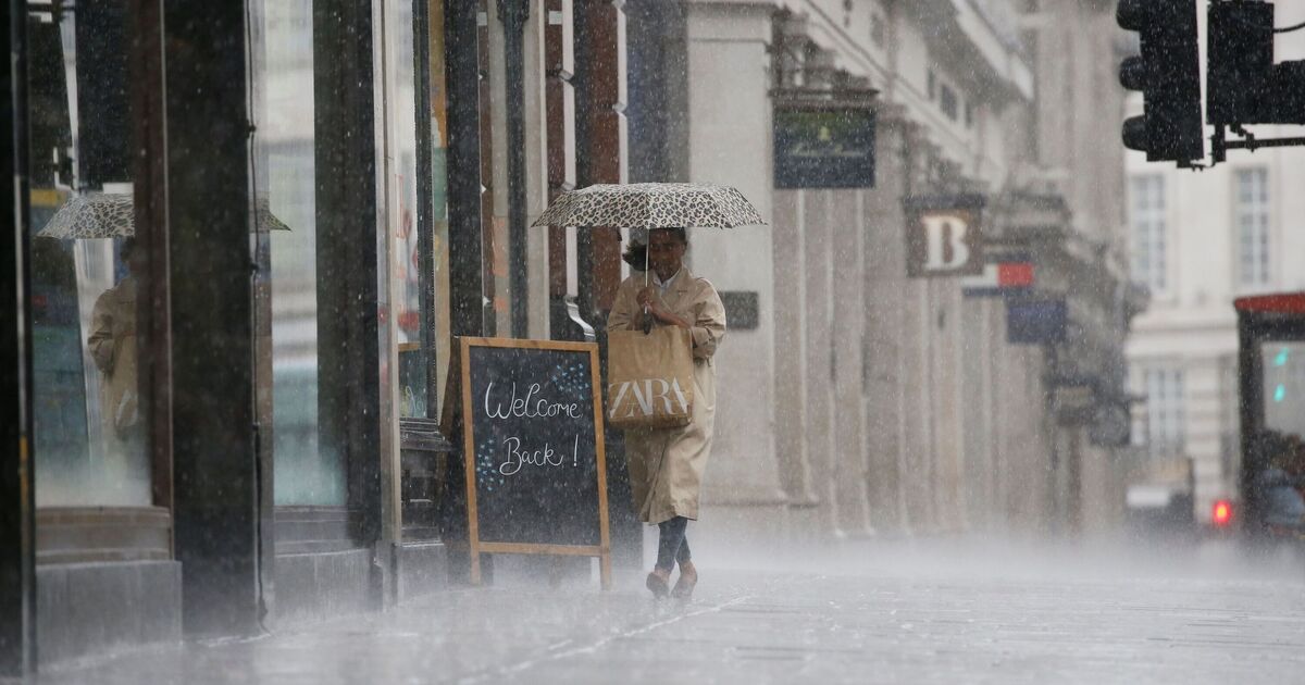
Heavy downpours are likely to wash away several parts of the UK this weekend as the Met Office has predicted an “unsettled and cooler” weather for Saturday and Sunday. According to the forecaster, the scorching weather in the country will come to an end with temperatures beginning to settle down from Friday.
According to the Met Office, Sunday is expected to remain variable, with temperatures nearing average for most. It said that there will be cloud and outbreaks of rain or showers, most frequent and heaviest in northern and western areas, while brighter spells develop in the east and southeast. Met Office, Chief Forecaster Chris Bulmer said: “We’re now starting to see this spell of very hot weather break down. Many areas will begin to feel fresher conditions moving in through Friday and into the weekend as a weak cold front moves southeast and becomes more established across most of the UK by Saturday.
“As the heat starts to ease, the weather will also turn more changeable, with some showers and thunderstorms possible.
“By the weekend, temperatures should be much closer to average for the time of year with accompanying rainfall for many through the weekend and into the start of next week.”
Maps show 18 areas in the UK will be battered by the heavy rain, as per the Met Office forecast. According to the weather charts, the heaviest rainfall will be seen around 2.30pm on Sunday, with the forecaster predicting a changeable weather pattern for the next week.
It said: “This more changeable pattern is likely to continue into next week, with further spells of rain or showers moving across the UK but broken up with brighter intervals. Temperatures are expected to be closer to average than they have been in recent days.”