
The long range forecast has some hopeful news for those in Liverpool and beyond
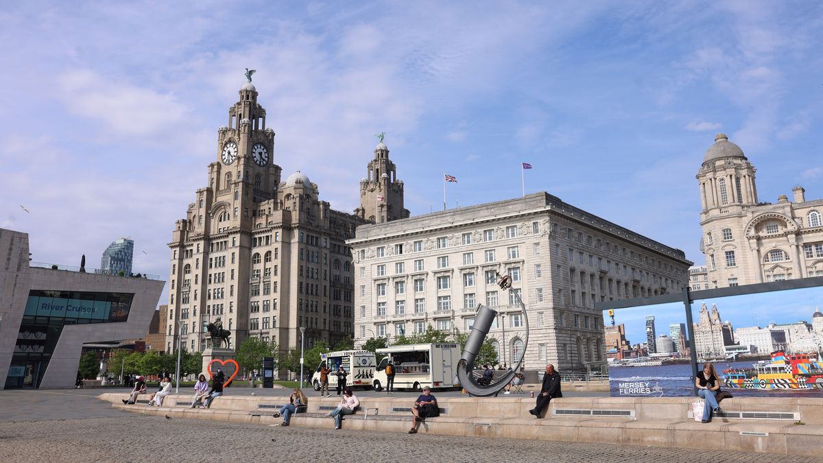
People enjoying the hot weather on Liverpool Pier Head(Image: Liverpool Echo/Iain Watts)
The weather so far this spring has been up-and-down. One minute Merseyside is basking is glorious sunshine as temperatures break records, and the next we’re battling downpours and win- with this week’s forecast looking pretty bleak.
But, it’s not time to give up hope on a warm summer just yet as the Met Office has forecast more heat this month as summer gets underway. Forecasters have predicted “higher pressure and more settled conditions” could be on the way for Merseyside.
Looking at the long range forecast from the end of this week, Sunday, June 7 until Tuesday, June 16 the Met Office said conditions are “changeable” early in this period with Atlantic frontal systems moving across the UK.
It said: “These will bring showers or longer spells of rain at times, with wettest conditions in the northwest, drier in the southeast. Strong winds may affect parts of the UK at times, especially the northwest.”
But, later in the period, “higher pressure and more settled conditions may begin to become more prevalent, especially in the south,” it says. And, temperatures are likely to be “near normal” overall.
Looking further ahead towards the summer parts of the south are expected to be “hot” in parts, however the northwest is expected to see more unsettled conditions with rain and wind still possible.
The Met Office long range weather forecast from Wednesday, June 17 until Wednesday, July 1, reads: “The start of the period is likely to be relatively settled, with high pressure in the vicinity of the UK bringing drier conditions to most parts of the UK.
“However some showers or spells of rain are still possible. Winds will mostly be light with temperatures probably above normal.
“Towards the end of June, low pressure may begin to have more of an influence, especially across the south where heavy showers and thunderstorms become more probable. It may also become hot in parts of the south.”
Below is the forecast for the rest of this week.
Wednesday:
A spell of persistent rain spreads across the region during the morning, followed by sunny spells and scattered showers in the afternoon. Turning increasingly windy through the day. Maximum temperature 17 °C.
Outlook for Thursday to Saturday:
Windy on Thursday with blustery showers and a risk of thunder. Showers less frequent on Friday. A spell of rain and stronger winds possibly arriving Saturday. Fresher than of late.