
Published on Aug. 14, 2025, 1:42 AM
A high-pressure ridge and a diving trough are battling to determine the hurricane’s next move.
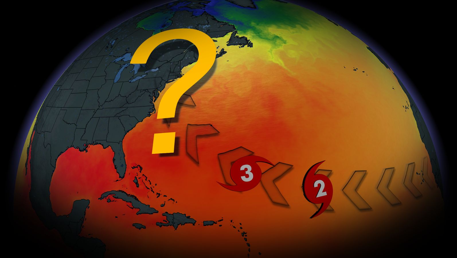
Tropical Storm Erin, the fifth named storm of the 2025 Atlantic hurricane season, is on schedule for a long journey across the ocean — but its final location is still unknown.
The National Hurricane Centre now predicts Erin will strengthen into a Category 1 hurricane by the end of the week, with the possibility of intensifying further over the weekend.
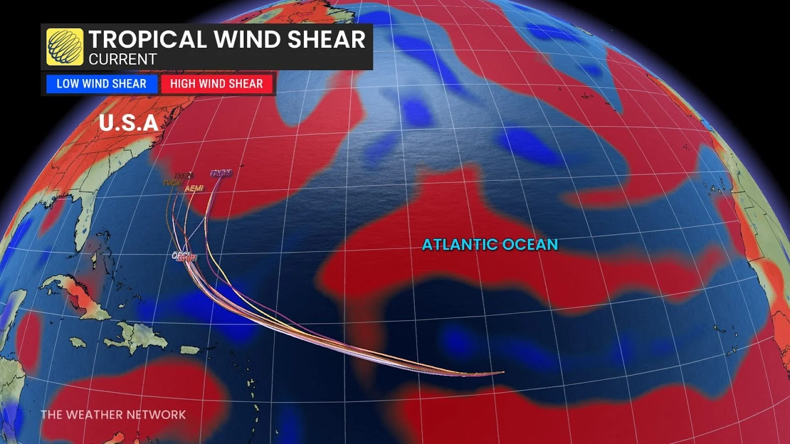
Favourable conditions, such as low wind shear, are expected to support development.
RELATED: Hurricane Preparedness: What you need in your kit
Two possible tracks emerging
The storm’s impact will be dependent on how the upper-level steering patterns change over the next few days.
By Sunday, high pressure is expected to rebuild over the Atlantic Ocean, potentially pushing the hurricane westward and closer to the U.S. eastern seaboard.
Another potential outcome is that a diving trough sweeping across eastern Canada will absorb the storm and direct it towards Atlantic Canada. Forecasters say the precise timing of this trough is a major uncertainty.