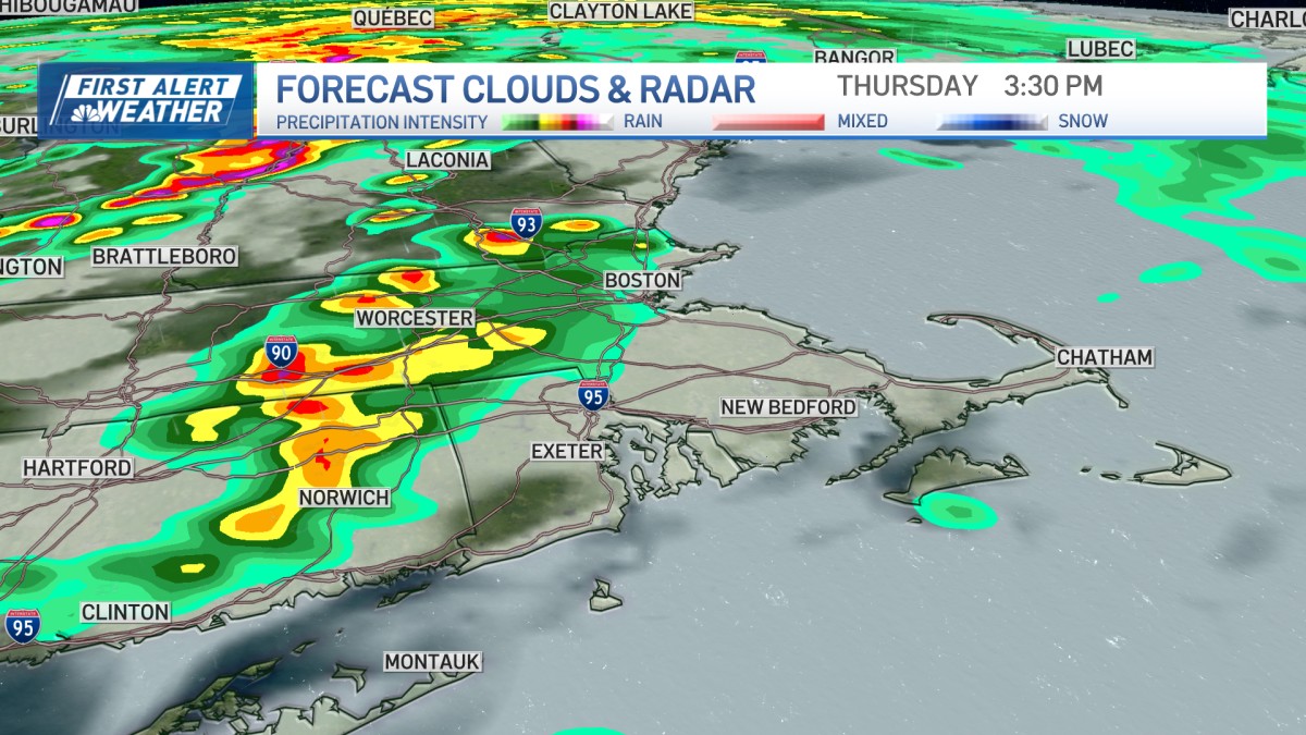
Severe thunderstorm warnings have been issued for parts of Massachusetts, New Hampshire, Vermont and Maine. See details at this NWS map here, and track the storms with live, interactive radar below.
You couldn’t have asked for better weather here in Boston over the past few days, with all the sunshine we’ve seen and the warm air we’ve felt. But as the old saying goes, all good things must come to an end – and it’s ending today!
Strong to severe storms possible today; brief isolated tornado can’t be ruled out
In fact, today is a First Alert! Strong to severe storms could impact parts of Greater Boston this afternoon and evening. The National Weather Service has issued a tornado watch from 10 a.m. to 3 p.m. for parts of western Masachusetts and Vermont. The last time we had a tornado watch in Massachusetts was back on June 24, 2024.
The tornado watch was expended around 1:40 p.m. to include parts of central Massachusetts, all of New Hampshire and parts of northern Connecticut and western Maine. The watch is in effect through 7 p.m.
Timing, potential impact of today’s storms.
Weather alerts
Click here for any active weather alerts.
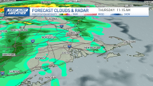
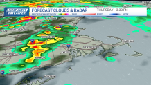
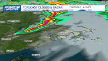
A frontal system to our west will bring scattered showers to the region this morning.
But later this afternoon, a few strong to severe storms could develop, capable of producing damaging winds, small hail and periods of heavy rain.
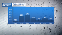
A brief isolated tornado cannot be ruled out in our region today.
But let’s be clear — the threat for severe storms will be contingent upon sunshine today.
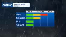
In fact, if our clouds break a bit to see some sunshine after the morning rain, we could have a few rowdy thunderstorms in parts of central and eastern Massachusetts and southern New Hampshire. If we don’t see as much sunshine today, our overall threat for severe weather will be lowered. So, we’ll have to keep an eye on the radar today.
Showers and storms will likely diminish after dinnertime tonight. Regardless of the rain, though, we’ll all likely have gusty winds, with gusts up to 40 mph at times.
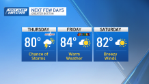
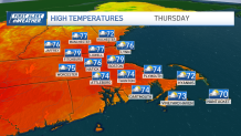
High temperatures will be in the 70s to near 80 in spots. Low temperatures will be in the 60s.
Live radar
Flood watch, wind advisory
There are flood watches in parts of New Hampshire and Maine from noon today through this evening. Flash flooding caused by excessive rainfall from thunderstorms is possible.
There are also wind advisories in Vermont in effect from 8 a.m. to 8 p.m. Wind gusts up to 50 mph are expected.
Friday forecast plus weekend weather
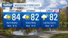
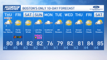
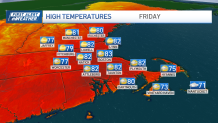
The sun returns for Juneteenth this Friday and again on Saturday. Each day will be a bit breezy. Highs will be in the low to mid 80s.
A few late day storms are possible on Father’s Day this Sunday, followed by scattered showers on Monday.