
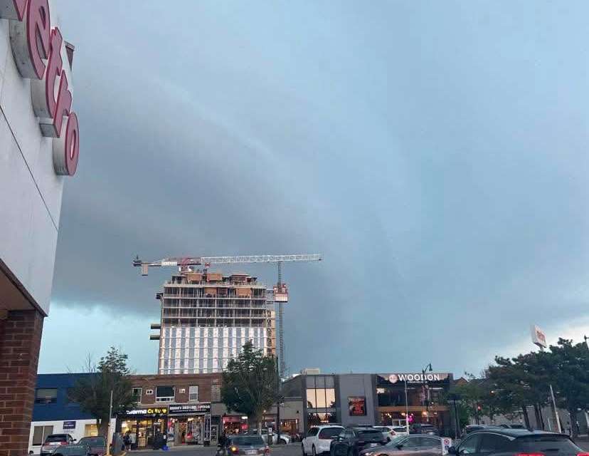
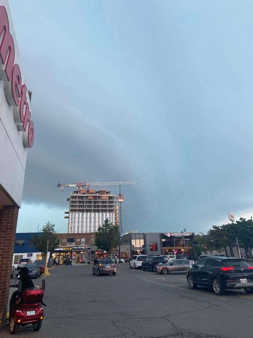
 The skies over downtown Kingston near the intersection of Princess and Barrie Streets during a tornado warning on Tuesday, Jun. 30, 2026. Photo by Cris Vilela/Kingstonist.
UPDATE (Tuesday, Jun. 30, 2026, at 1:44 p.m.):
The tornado warning issued for the Kingston region has now been cancelled.
The original warning, issued for the Kingston, Odessa, and Frontenac Islands areas, was later expanded to include an area from Kingston to Pembroke. However, as of 1:30 p.m., the warning was cancelled for the entire region.
But the warning didn’t end before havoc was wreaked on the Kingston region, with wires arcing in several places throughout Kingston, Frontenac, Lennox and Addington (KFL&A), as well as severe damage to trees, vehicles, and some buildings. At least two vehicles were struck by falling trees in the city of Kingston.
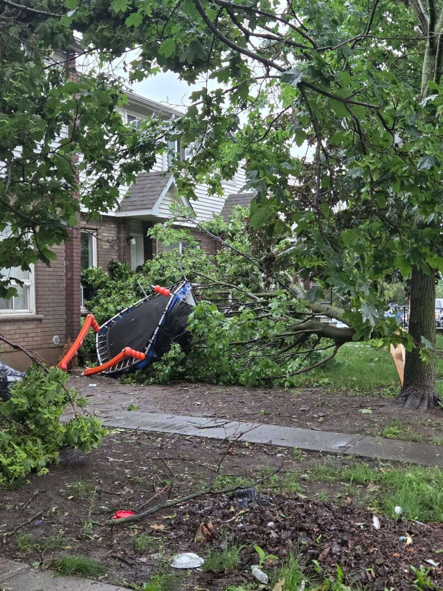 Submitted photo.
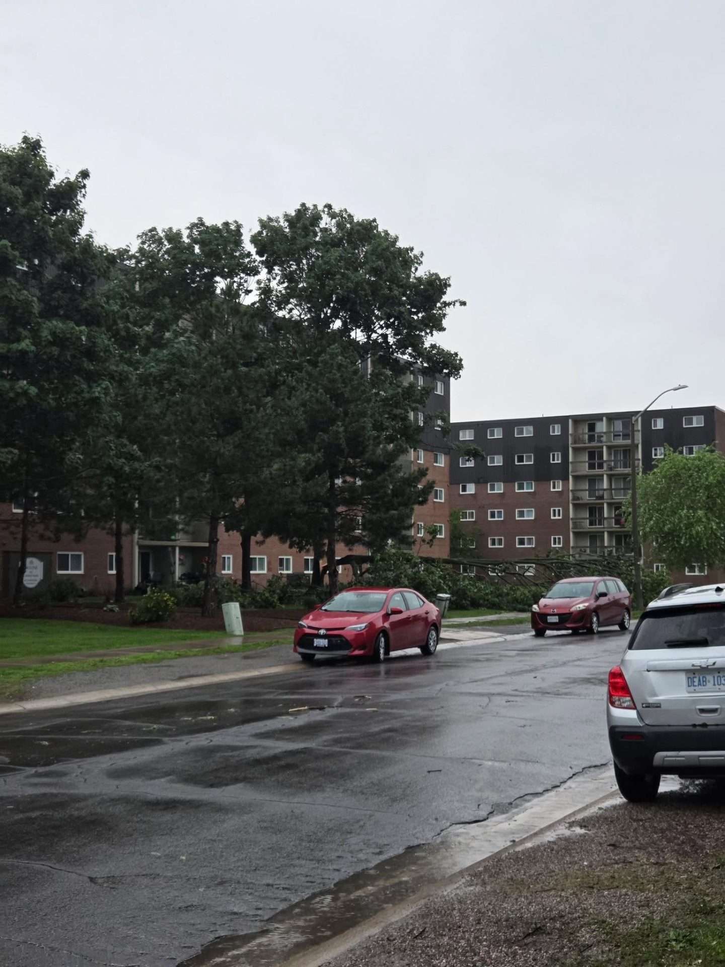 Submitted photo.
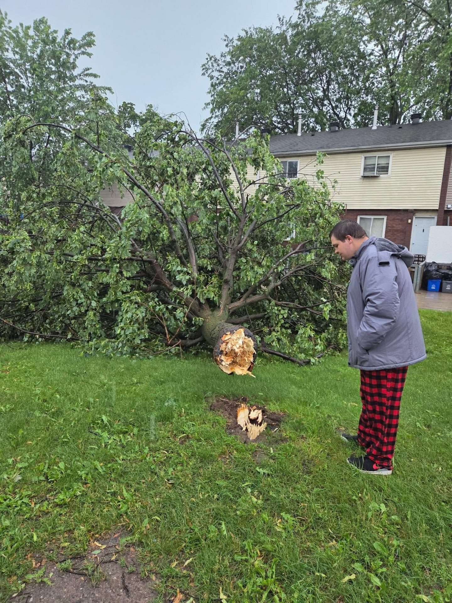 Submitted photo.
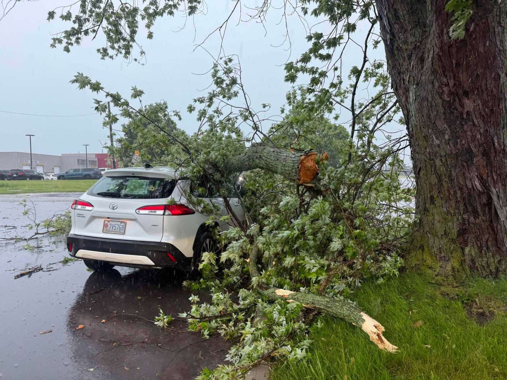 Submitted photo.
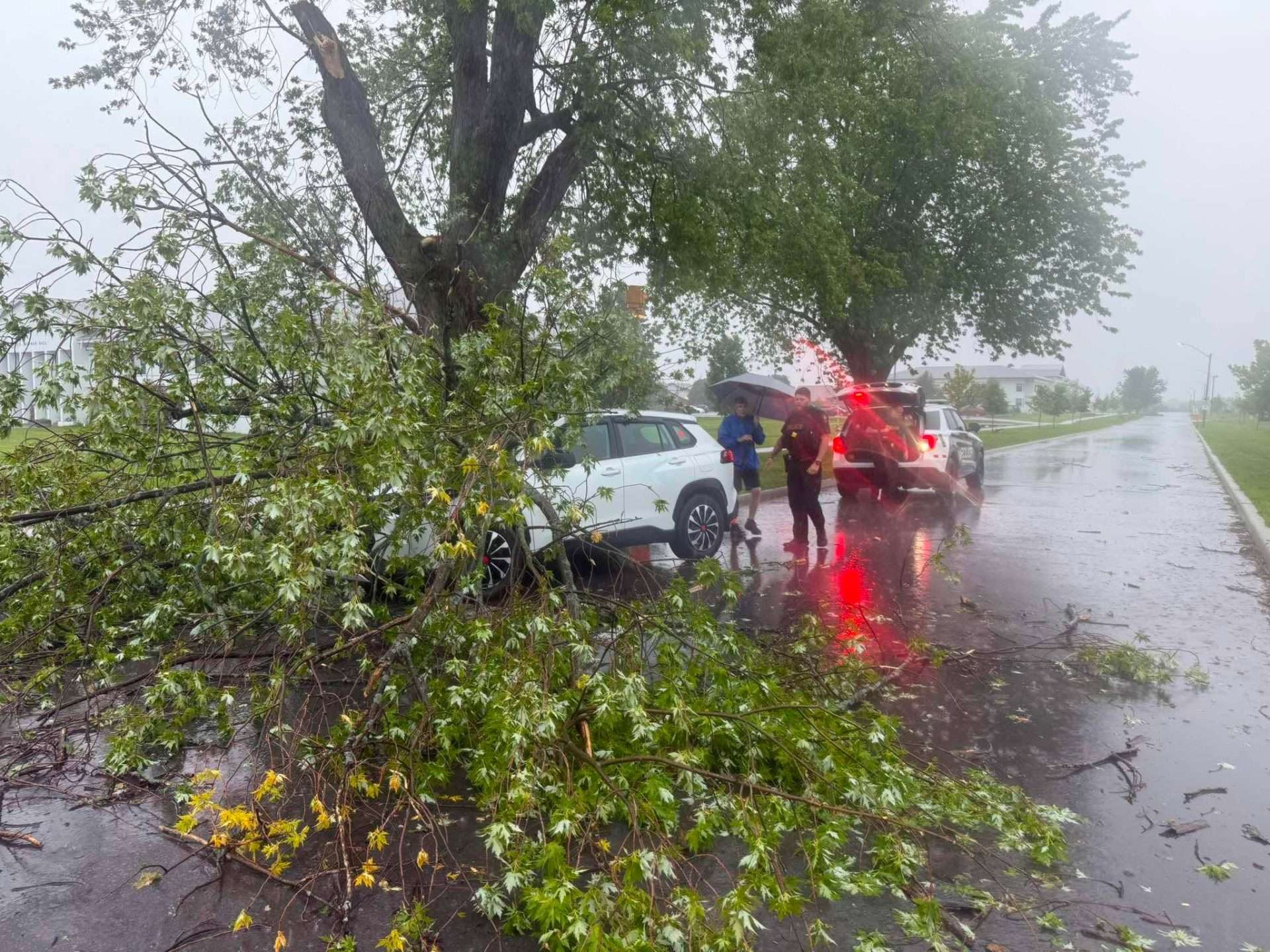 Submitted photo.
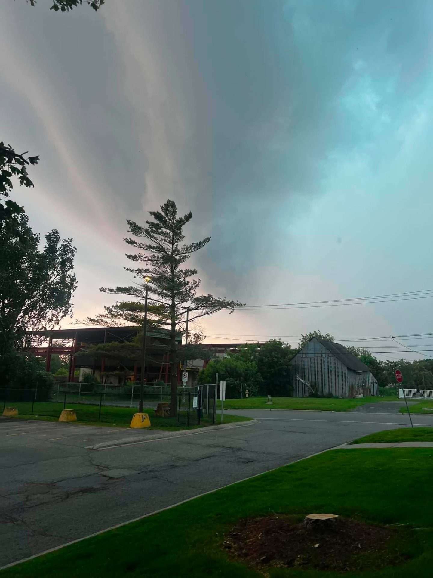 Photo by Cris Vilela/Kingstonist.
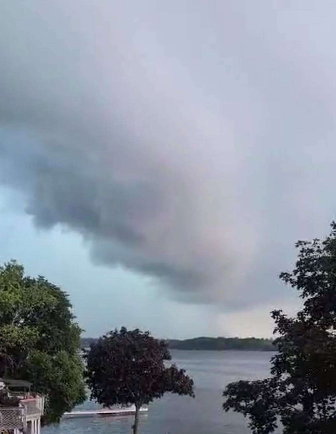 Submitted photo.
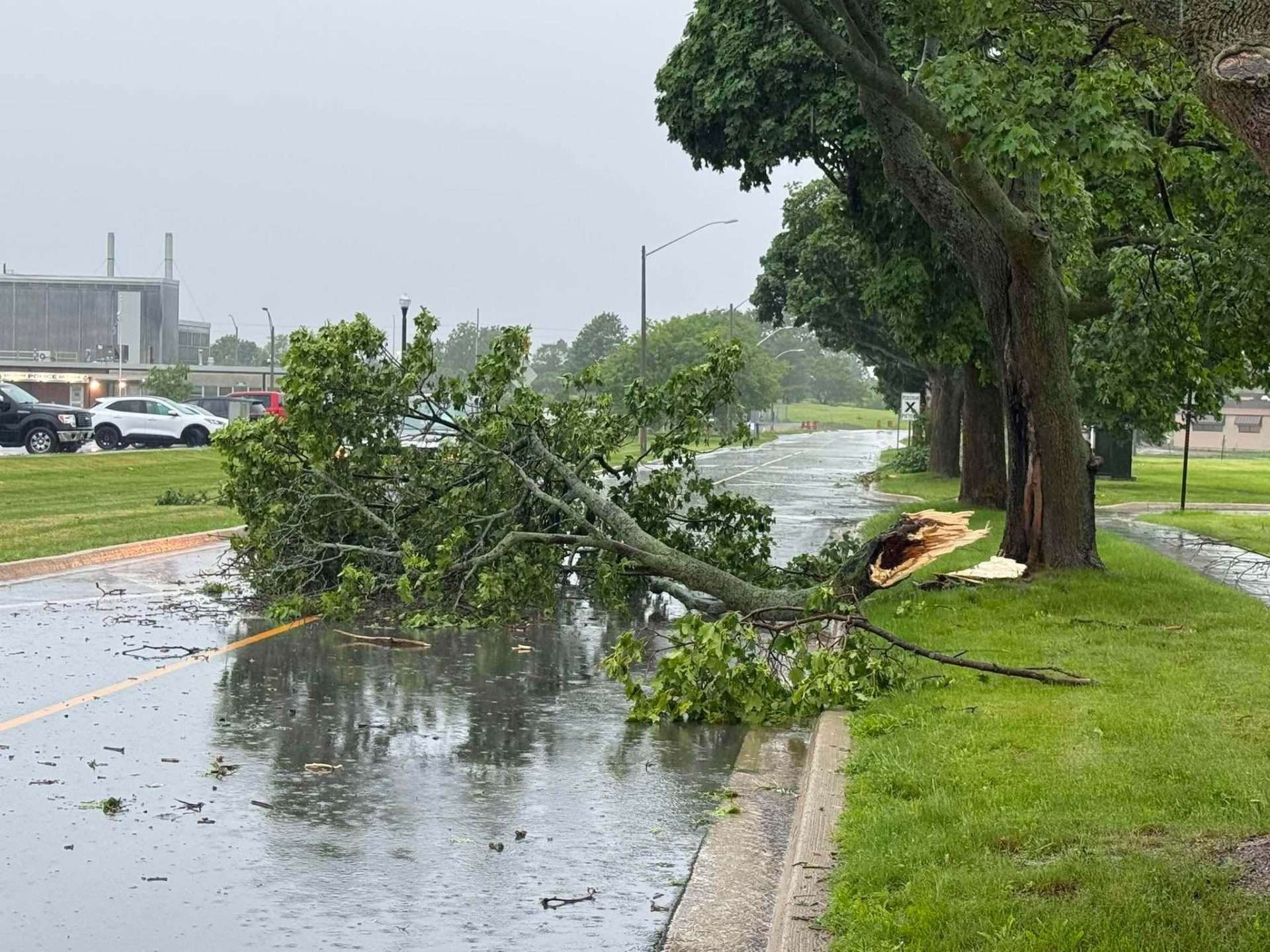 Submitted photo.
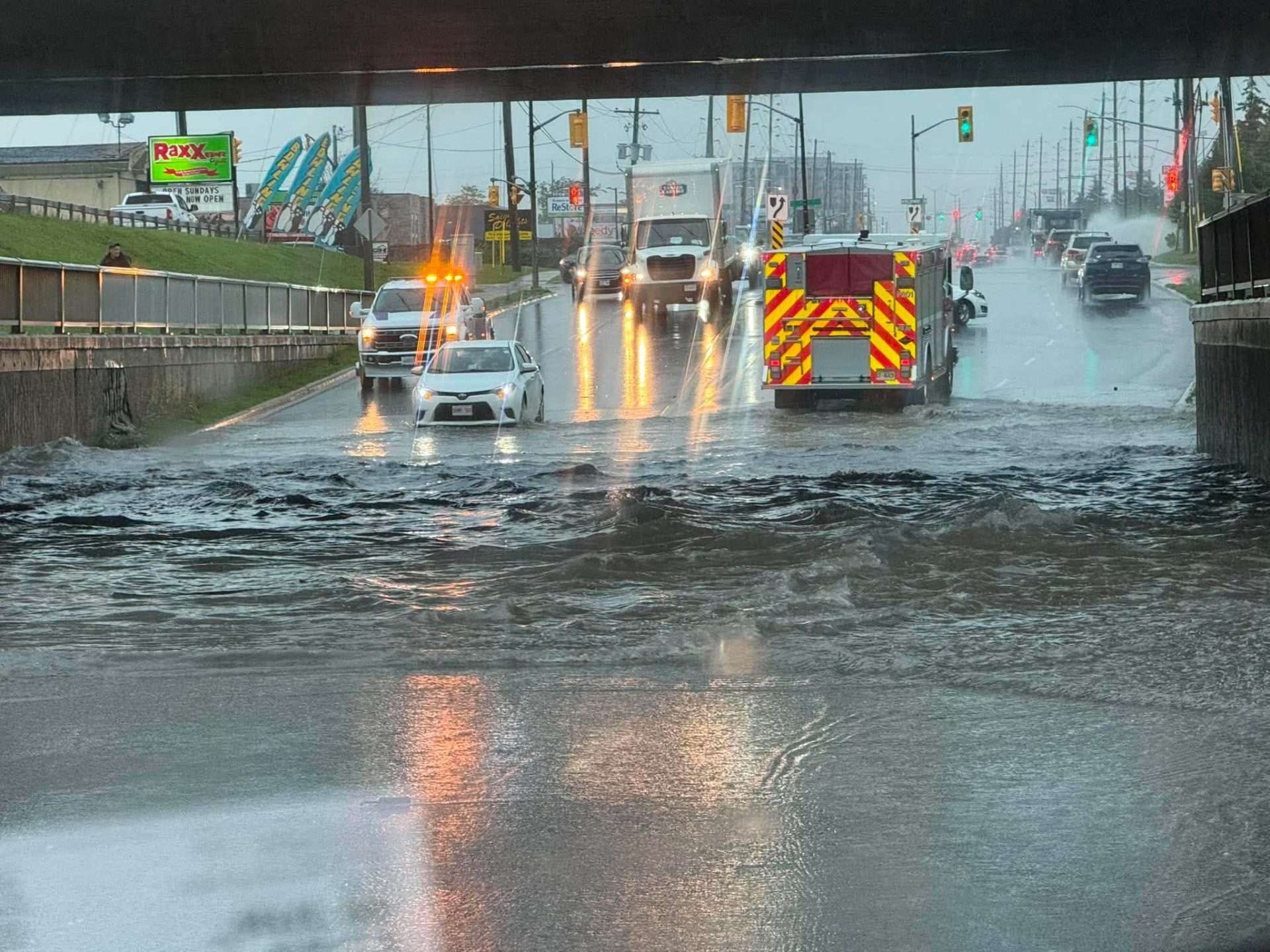 Photo by Logan Cadue/Kingstonist.
Environment Canada now has a yellow level severe thunderstorm warning and yellow level severe thunderstorm watch in effect for the Kingston, Odessa, and Frontenac Islands areas, listing the following areas as “in the path” of the storm: Amherstview, Codes Corner, Kingston, Mallorytown, Lansdowne, Willowbank, Gananoque, Ivy Lea, Marysville, and Rockport.
“Environment Canada meteorologists are tracking a line of severe thunderstorms capable of producing strong wind gusts and very heavy rain,” the warning reads, noting that the storm was in the area of Amherstview to Charleston Lake Provincial Park as of 1:30 p.m. and moving southeast at 30 km/h.
The potential hazards of the storm cells include high winds with gusts up to 90 km/h, and heavy rain with 30 to 50 mm of accumulation possible.
“Local utility outages are likely. Heavy rain may cause flash flooding and significant reductions to visibility,” Environment Canada said.
For the latest forecasts from the national weather agency, visit Environment Canada’s Ontario location page to find the forecast location closest to you here: https://weather.gc.ca/forecast/canada/index_e.html?id=ON.
Original article (published at 1:02 p.m. on Tuesday, Jun. 30, 2026):
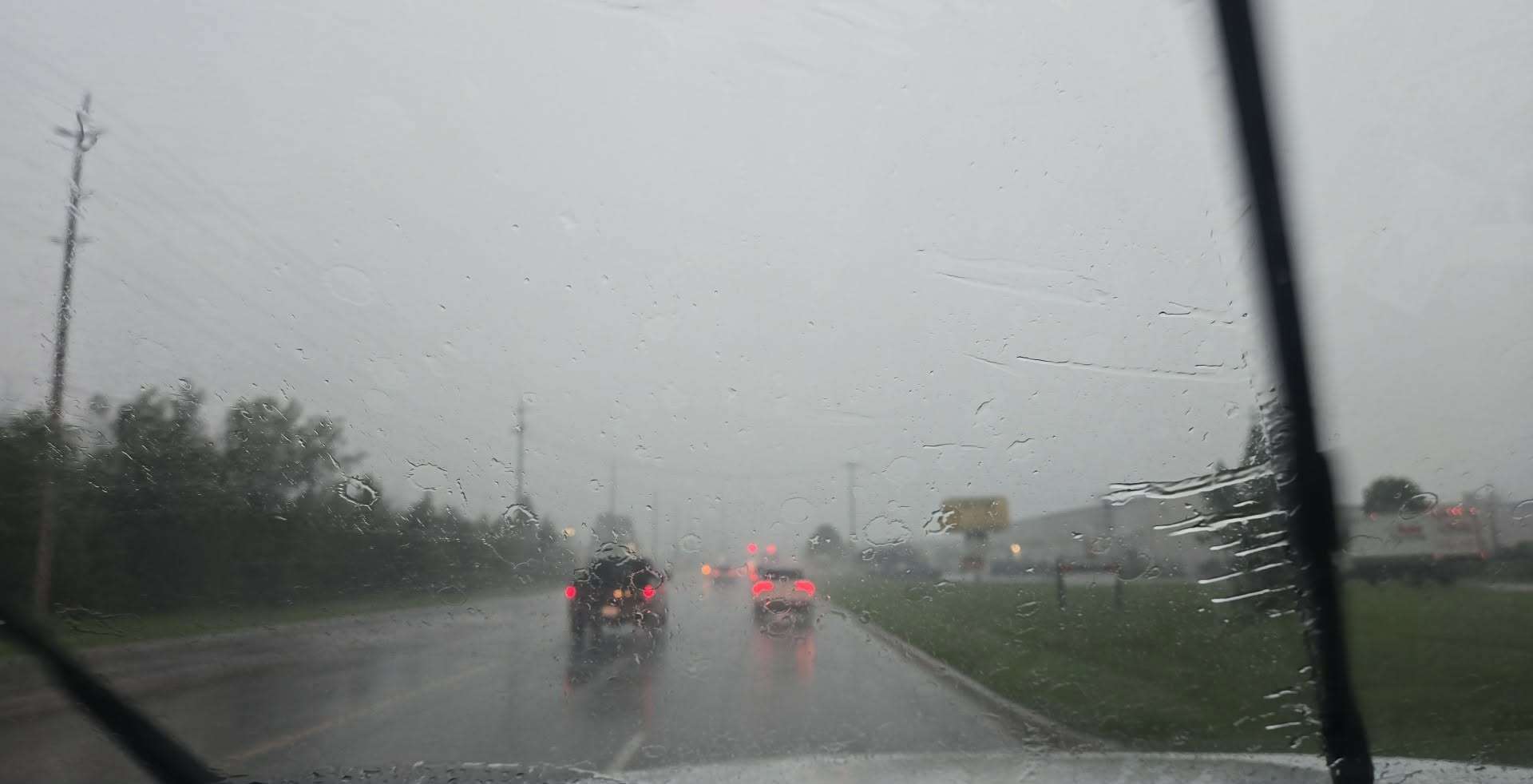 A severe thunderstorm hits Kingston on Tuesday, Jun. 30, 2026. Photo by Cody Stafford-Arenburg/Kingstonist.
Those throughout the Kingston area likely received an alert on their mobile devices or televisions as a tornado warning was issued for the region just before 1 p.m. on Tuesday, Jun. 30, 2026.
The warning was categorized in the Red Level.
“At 12:46 PM EDT, Environment Canada meteorologists are tracking a severe thunderstorm that is possibly producing a tornado. Damaging winds, large hail and locally intense rainfall are also possible,” a warning from the national weather agency stated.
“This is a very dangerous and potentially life-threatening situation,” the warning continued.
“Take cover immediately in a basement, interior room, or a sturdy shelter when threatening weather approaches. If no shelter is available, lie in a low spot and protect your head from flying debris. If you are out on the water when threatening weather approaches, return to shore and seek shelter, if possible. Otherwise, move away from the path of the tornado to escape. Wear your lifejacket, lie face down and protect your head.”
According to Environment Canada, Emergency Management Ontario recommends that residents take cover immediately if threatening weather approaches.
Continue to follow Environment Canada for updates here: https://weather.gc.ca/en/location/index.html?coords=44.236,-76.501.