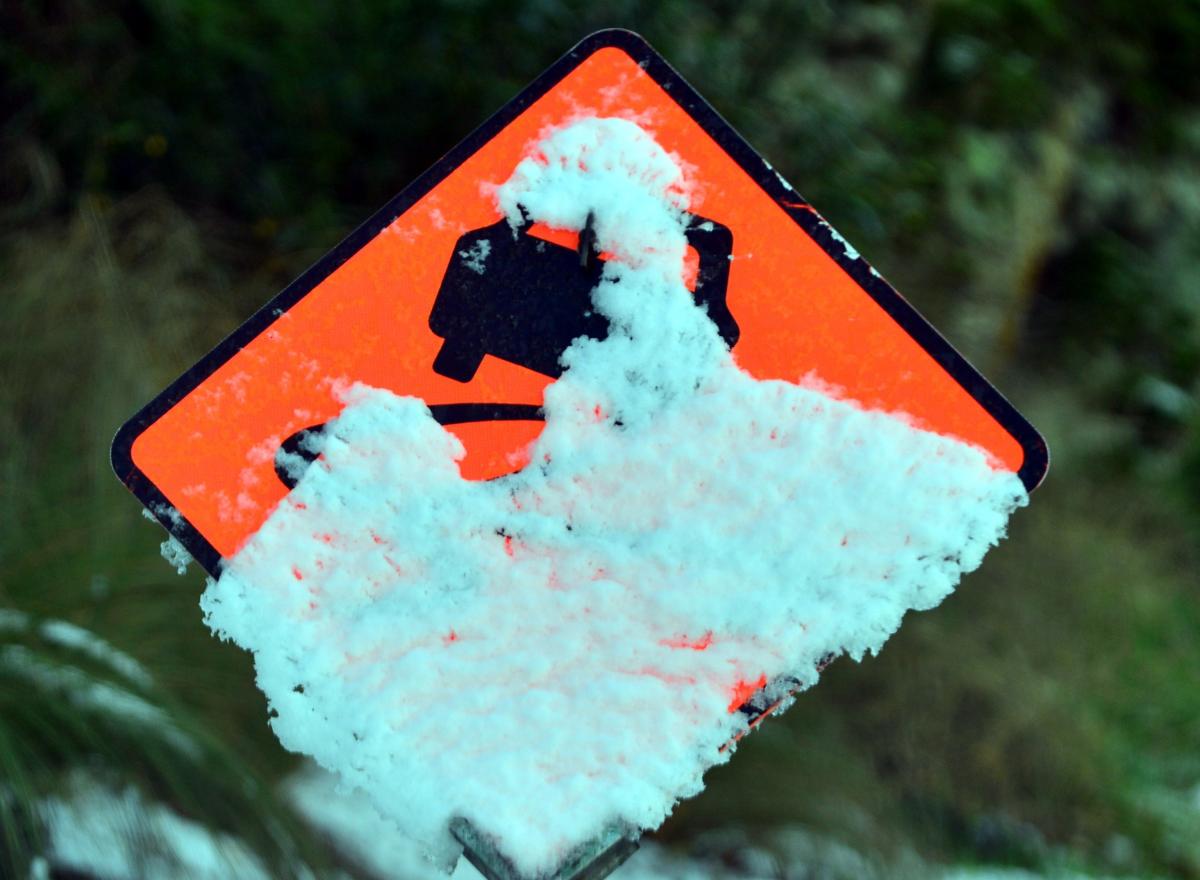
If you have not had the chance to build a snowman in Dunedin yet this winter, your opportunity may be about to arrive — possibly for the last time this year.
MetService meteorologist Devlin Lynden said a front would move northwards over the South Island on Monday, spreading cold southwesterlies and snow.
Rain or showers were forecast for much of the Otago and Southland regions, which was expected to fall as snow about high country farms and passes, he said.
It was possible that a warning would be required for heavy falls of snow above 400m in Fiordland, Southland and inland Otago, and above 600m about the foothills and high country of Canterbury, south of the Rangitata River.
“The frontal feature approaching is likely to bring snow, certainly to the southern skifields.”
Dunedin could also get a good dusting of snow in the hill suburbs, down to about 200m, he said.
“Through Monday, there certainly is the potential for some of those hill suburbs like Brockville and Halfway Bush and the other varying higher suburbs, and potentially the highway out to Waitāti as well, to see a dusting of snow.
“It looks like it could last through to mid-morning on Tuesday.
“As this frontal band moves over with a good amount of precipitation, the temperatures will be a bit warm at first, but then following that initial band of precipitation, temperatures cool down with some nice cold southerlies and it does definitely look like you could be seeing snow down to about 200m.
“It’s so hilly that when it gets snowy, it can be a bit of a nightmare for drivers.”
He urged southern residents, particularly those in Dunedin, to keep a close eye on the forecast.

