
A significant earthquake in the Cascadia Subduction Zone (CSZ) could cause a potentially devastating mega-tsunami to hit portions of the US Pacific Coast, according to scientists.
") Mega Tsunami warning in US: Coastal states like Washington, Oregon, and northern California can potentially be devastated, while Alaska and Hawaii could also be in danger.(Representational Image)
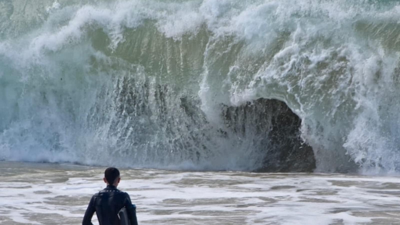
Mega Tsunami warning in US: Coastal states like Washington, Oregon, and northern California can potentially be devastated, while Alaska and Hawaii could also be in danger.(Representational Image)
This fault line, which runs around 600 miles from Northern California to Vancouver Island, is where the Juan de Fuca Plate slides beneath the North American Plate, accumulating enormous tectonic stress. Within the next 50 years, there is a 15% risk of an earthquake of magnitude 8.0 or higher happening along the CSZ, as per Virginia Tech researchers lead by geoscientist Tina Dura, the UK Independent reported.
Coastal states like Washington, Oregon, and northern California can potentially be devastated, while Alaska and Hawaii could also be in danger.
What is Cascadia Subduction Zone?
The Cascadia Subduction Zone, as per the Virginia Tech research team, is one of the most dangerous fault lines in North America.
As the North American Plate is pushed beneath the oceanic Juan de Fuca Plate, tectonic tension accumulates over generations.
When this tension is released during a significant earthquake, coastal areas may see abrupt land subsidence, which would significantly expand the size of floodplains and change shorelines practically immediately.
This fault last experienced a significant earthquake in 1700, which caused a tsunami that was seen as far away as Japan.
A comparable situation
The Virginia Tech analysis highlights that a comparable incident today would have significantly more catastrophic consequences because of the region’s dense population, sophisticated urban infrastructure, and vital coastal transportation networks. Rapid flooding, according to researchers, may leave little time for evacuation, increasing the toll on people and the economy.
The sea level could drop by as much as 6.5 feet. The waves might grow to around 1,000 feet in height, which is much higher than typical tsunamis. Within minutes, cities like Seattle, Portland and towns in northern California could be submerged, leaving miles of roads, thousands of buildings, and millions of people vulnerable to unexpected floods.
Research findings highlight need for better evacuation plans
In order to simulate the results, the research team conducted tens of thousands of computer models.
According to their findings, existing hazard maps understate the threat’s magnitude. More houses, towns, and infrastructure are at risk of flooding than previously anticipated.
The report emphasizes how urgently better evacuation plans, early-warning systems, and robust structures are needed to reduce the number of possible fatalities.
Which areas face highest risk of flooding?
According to the Virginia Tech study, the areas at highest risk of flooding from a CSZ mega-tsunami are northern Oregon, southern Washington, and northern California. Although their own seismic activity puts Alaska and Hawaii at risk for tsunamis, their distance from the CSZ makes them less vulnerable right now.
Over 170,000 buildings might be demolished, over 30,000 lives could be lost, and over $81 billion in economic losses could occur, as per researchers.
Tina Dura, the lead researcher, emphasized that such a catastrophe would not happen gradually. “The expansion of the coastal floodplain following a Cascadia subduction zone earthquake has not been previously quantified, and the impacts to land use could significantly increase the timeline to recovery,” she stated.