
Keep wiping that sweat away, the muggy weather is here to stay!
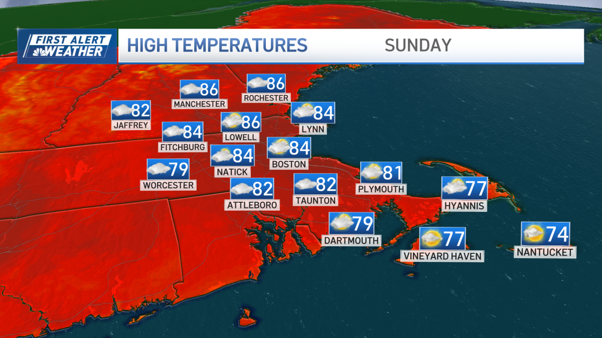
Temperature wise – it’s very similar out there today to what we had yesterday. Temperatures in the low-to-mid 80s under a mostly cloudy sky.
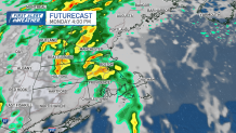
A weather maker unwinding over the Midwest and Great Lakes has been tossing clouds our way. Eventually the rain sits over us on Monday. It’ll drag up a plume of moisture from the south. Expect a fire hose of rain on Monday.
We’re still fine tuning the forecast. It’s too early to say where the heaviest rain will be.
We’ve activated a First Alert for Monday because it’s the type of rain that’s going to be coming at us for most of the day.
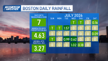
It’s been a wet pattern lately. Boston had gone almost four months without a soaking of an inch of rain or greater. Then look what happened in July. Three separate events dumped that elusive inch rainfall. Boston ended July with a little more than 4.5 inches of rain; above average rainfall at long last.
Now it looks like we’ll keep that going for August.
Then there were July temperatures. They were all over the place. We started the month baking in the heat with back-to-back triple digit days for only the 4th time on record. Less than a week later, temperatures snapped back to just 69 degrees.
We ended the month with more days below average than above.
This week – temperatures drop back on Monday with the incoming rain. By Tuesday, temperatures start warming up. Later in the week, we could be hitting highs in the 90s for the first time in three weeks!
Please check back here, and on TV, as we work out where the worst of the rain will be on Monday.